


within 5 minutes to merano
Close to the Spa Town

Route length in km: 17,9
Vertical climb: ascent 777m – descent 761m
Surface: asphalt, forest path, 1 short Single-Trail-section (Mohlboch)
Required technical skills: S0/S1 – easy with short Single-Trail-section S1
Starting point at Infopoint Töll/Tel brigde, road to Quadrat, at restaurant Brünnl turn right towards stone quarry "Steinbruch", turn right along the forest path to the crossroads, across "Kouhlroscht" turn left towards "Mohlboch", entry into the "Mohlboch Trail", left road towards Quadrat, restaurant Brünnl, restaurant Niederhof and back to the starting point Töll/Tel.
Alternative: Stuanbruch-Trail (S3) in descent
From Meran/o: train 250 to Töll/Tel
From Vinschgau valley: train 250 or bus 213 to Töll
Töll/Tel bridge parking lot
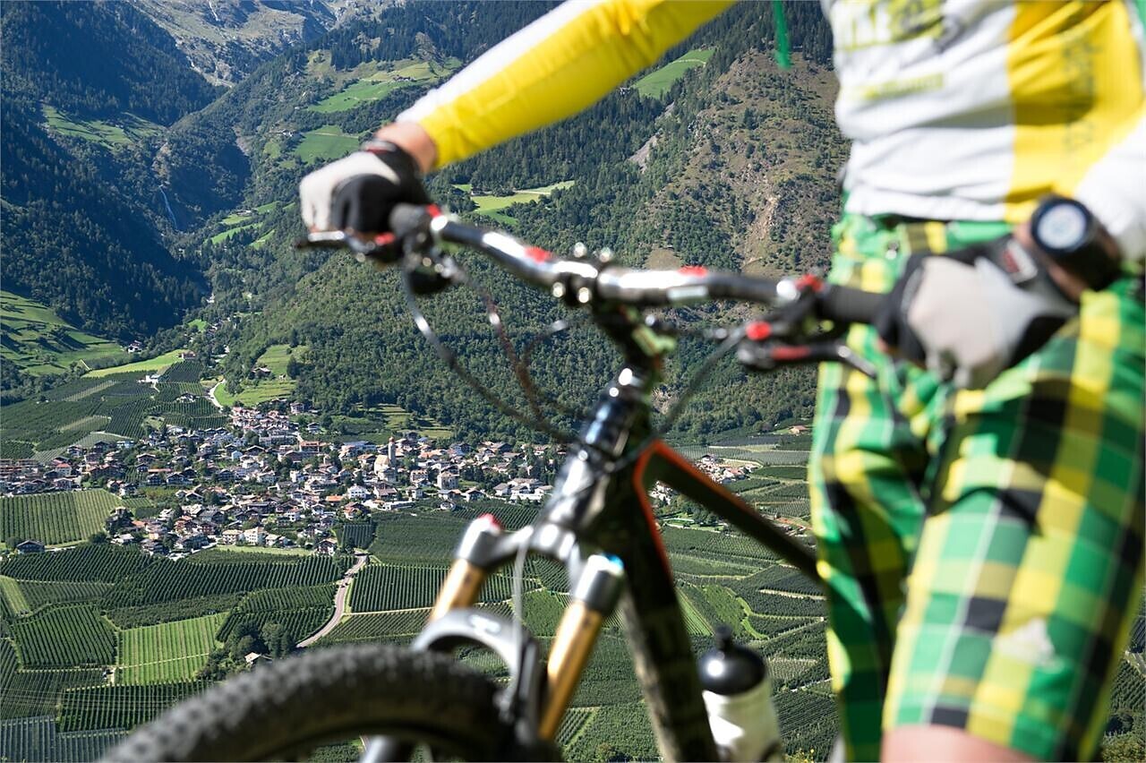

Bike tour St. Martin - Breiteben- Christl- St. Martin
Starting point: St. Martin in Passeier
End point: St. Martin in Passeier
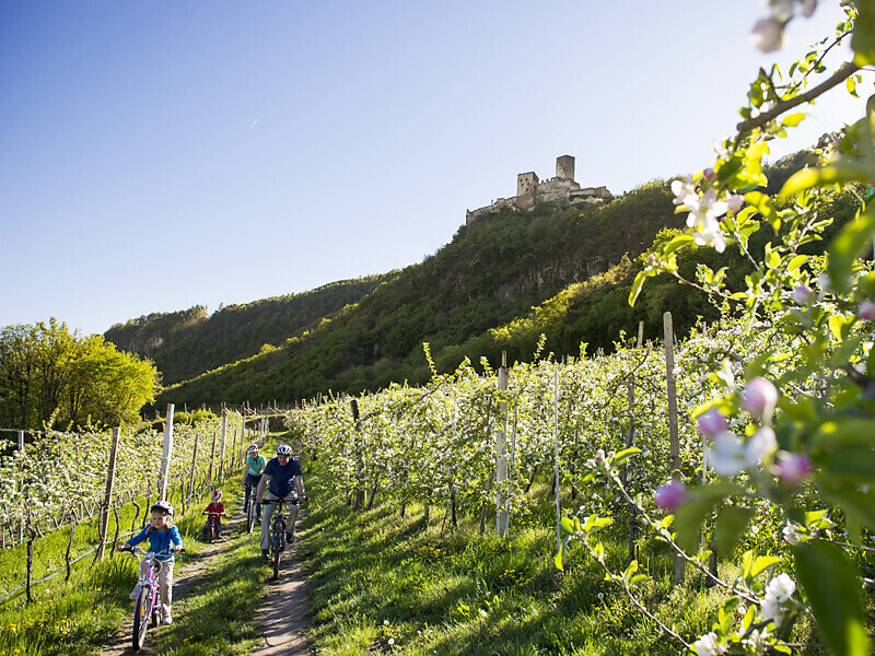
The route leads from Marlengo/Marling via Lana and Nalles/Nals to Andriano/Andrian. Change to the Etschtal Cycle Path, which leads to Bolzano/Bozen. One of the most ‘castle rich’ regions in all of Europe begins south of Merano/Meran. Worth ...