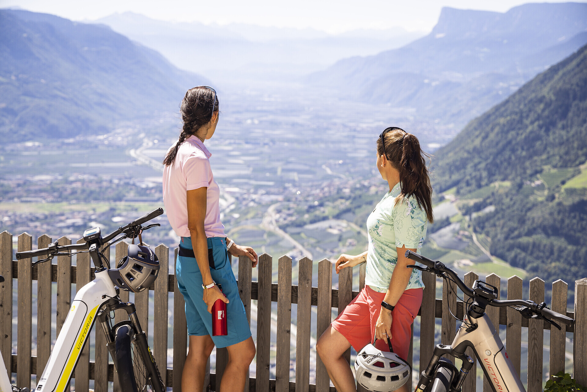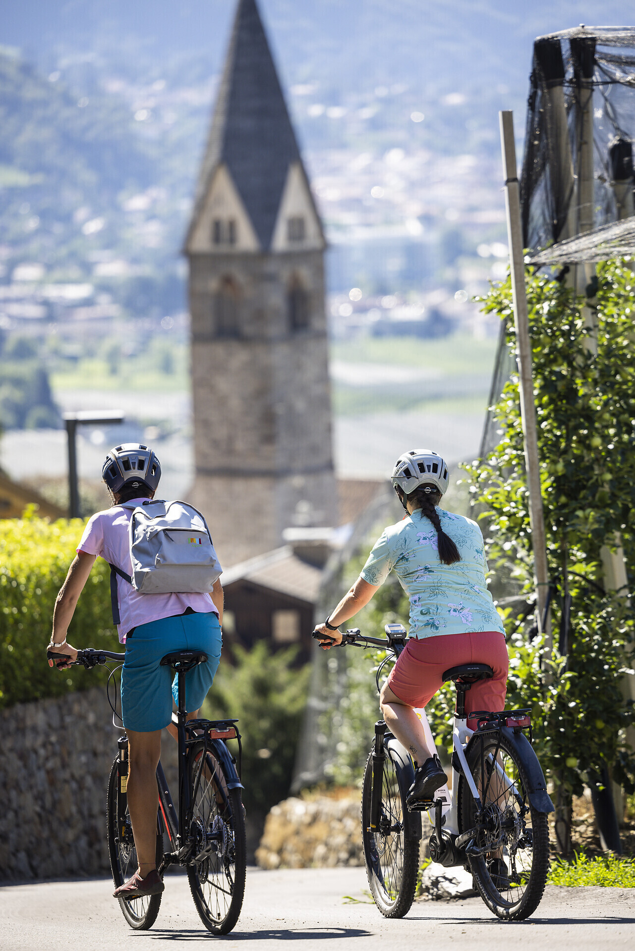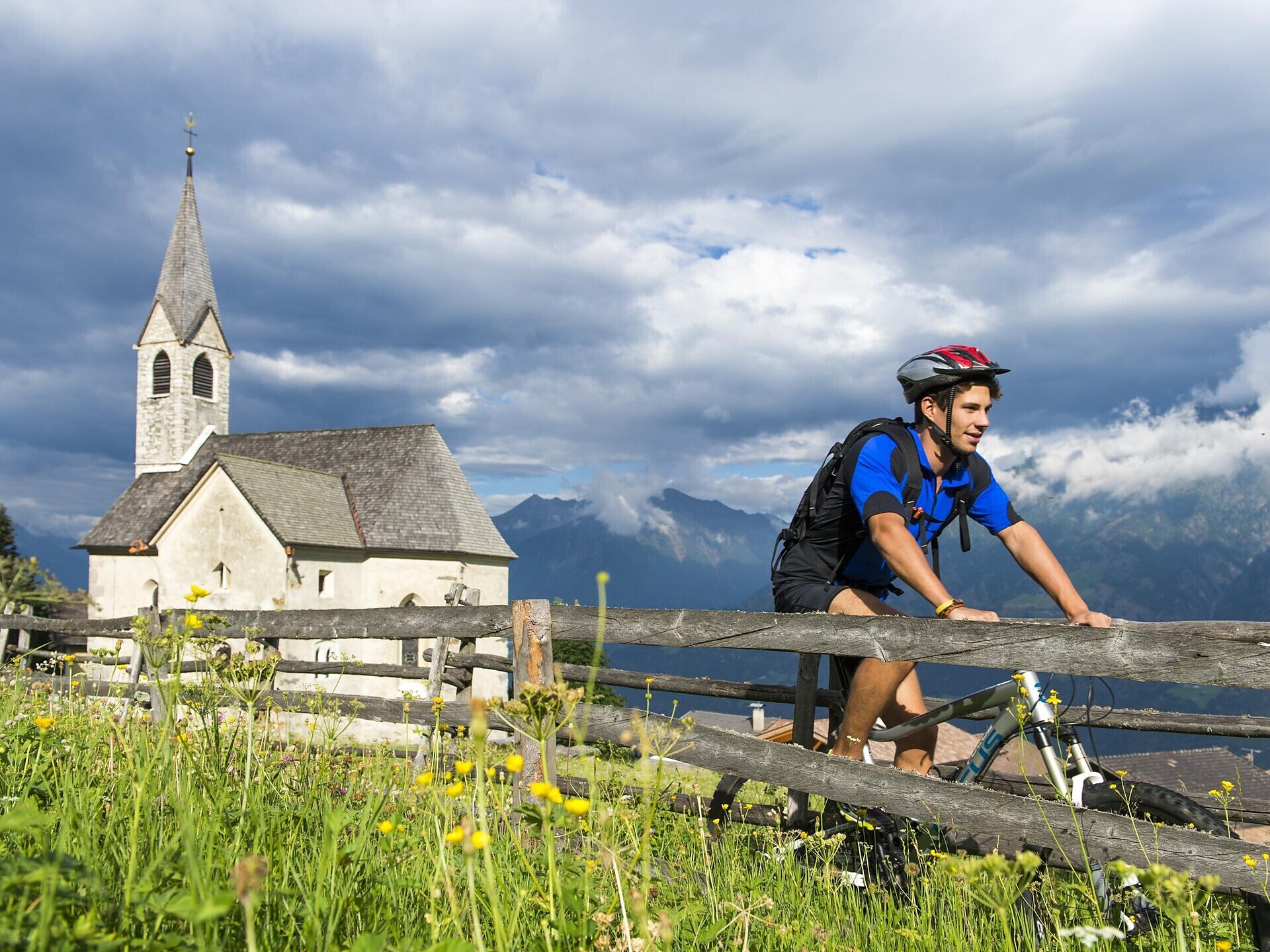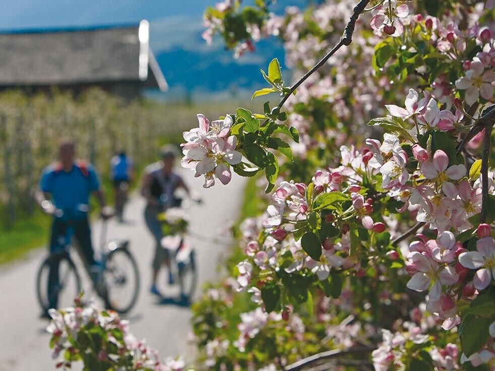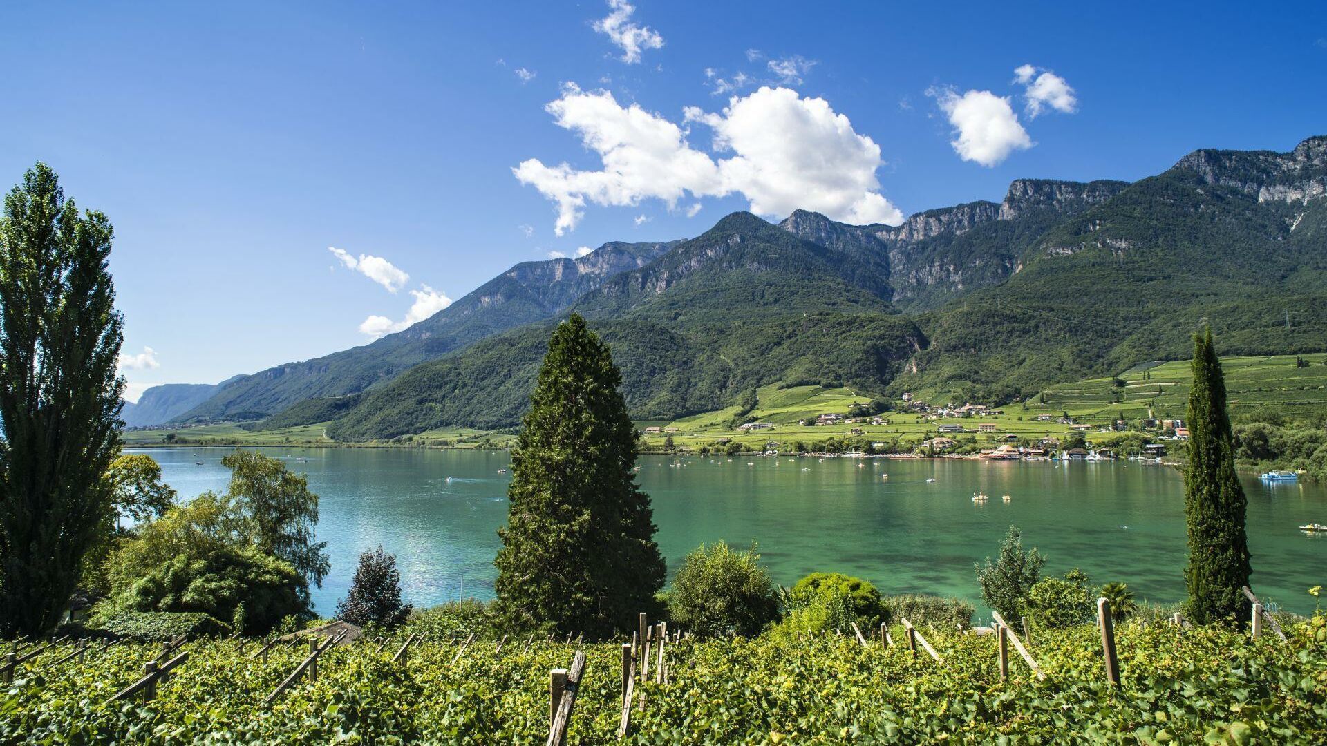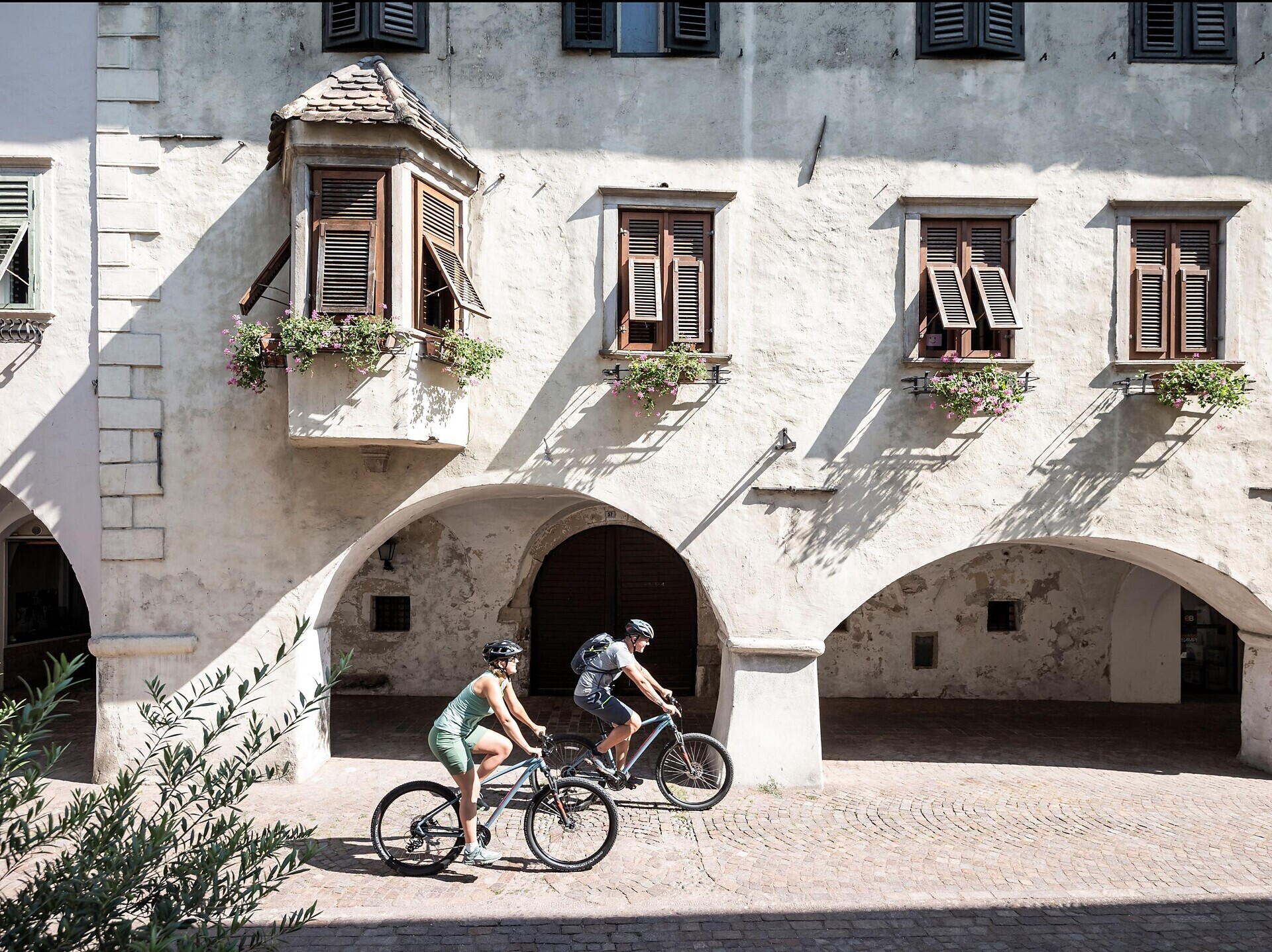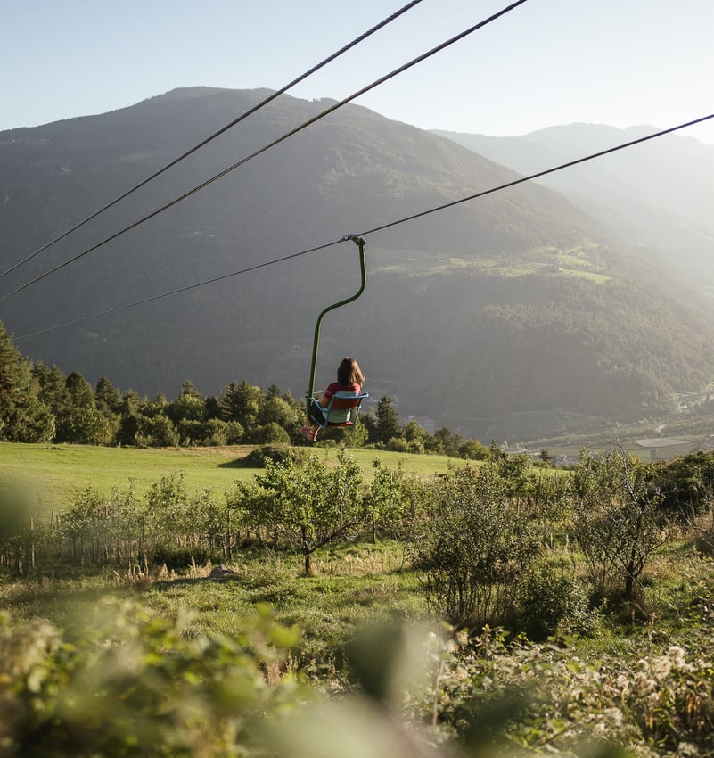


Whether you prefer a leisurely ride through apple orchards or an athletic climb into the mountains – cycling in Algund is as diverse as its landscape. Between Mediterranean ease in the valley and alpine freshness at higher altitudes, you'll find endless opportunities to explore the garden village of Algund and its surroundings on two wheels.
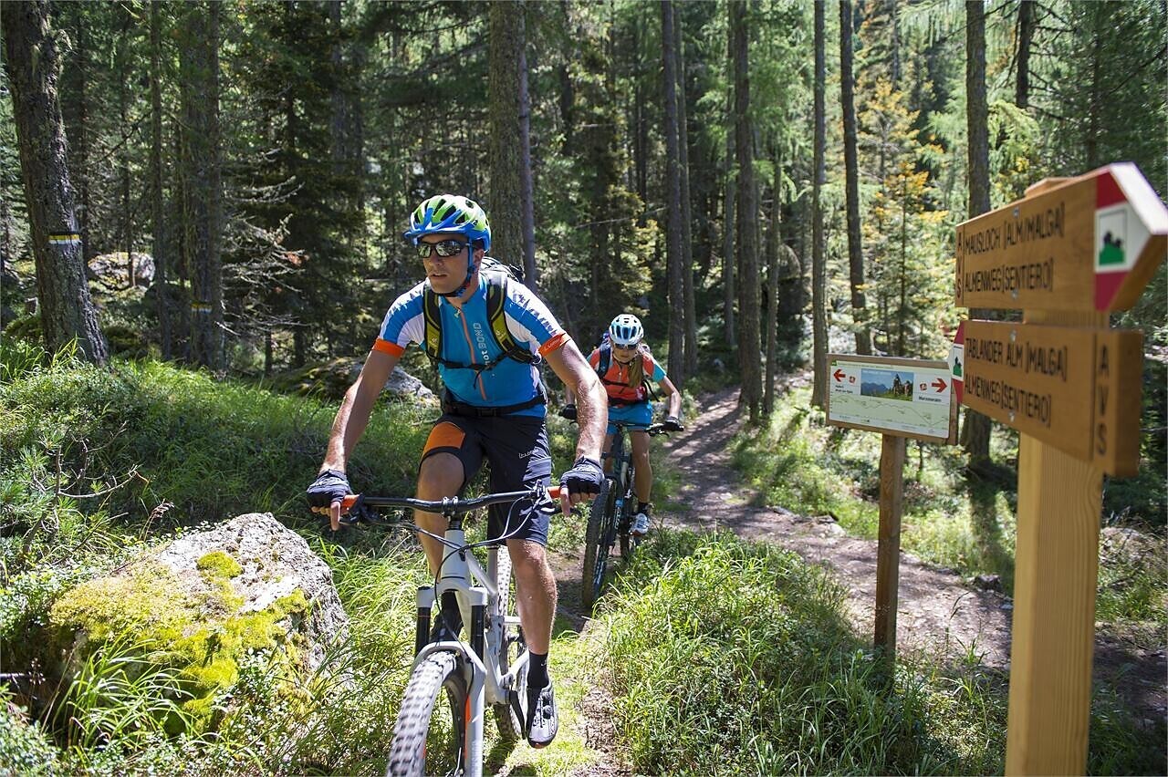
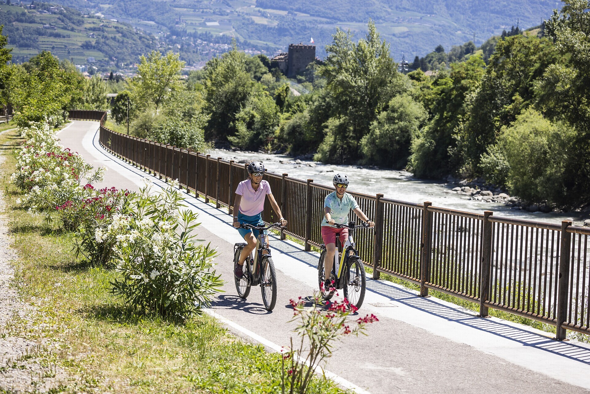
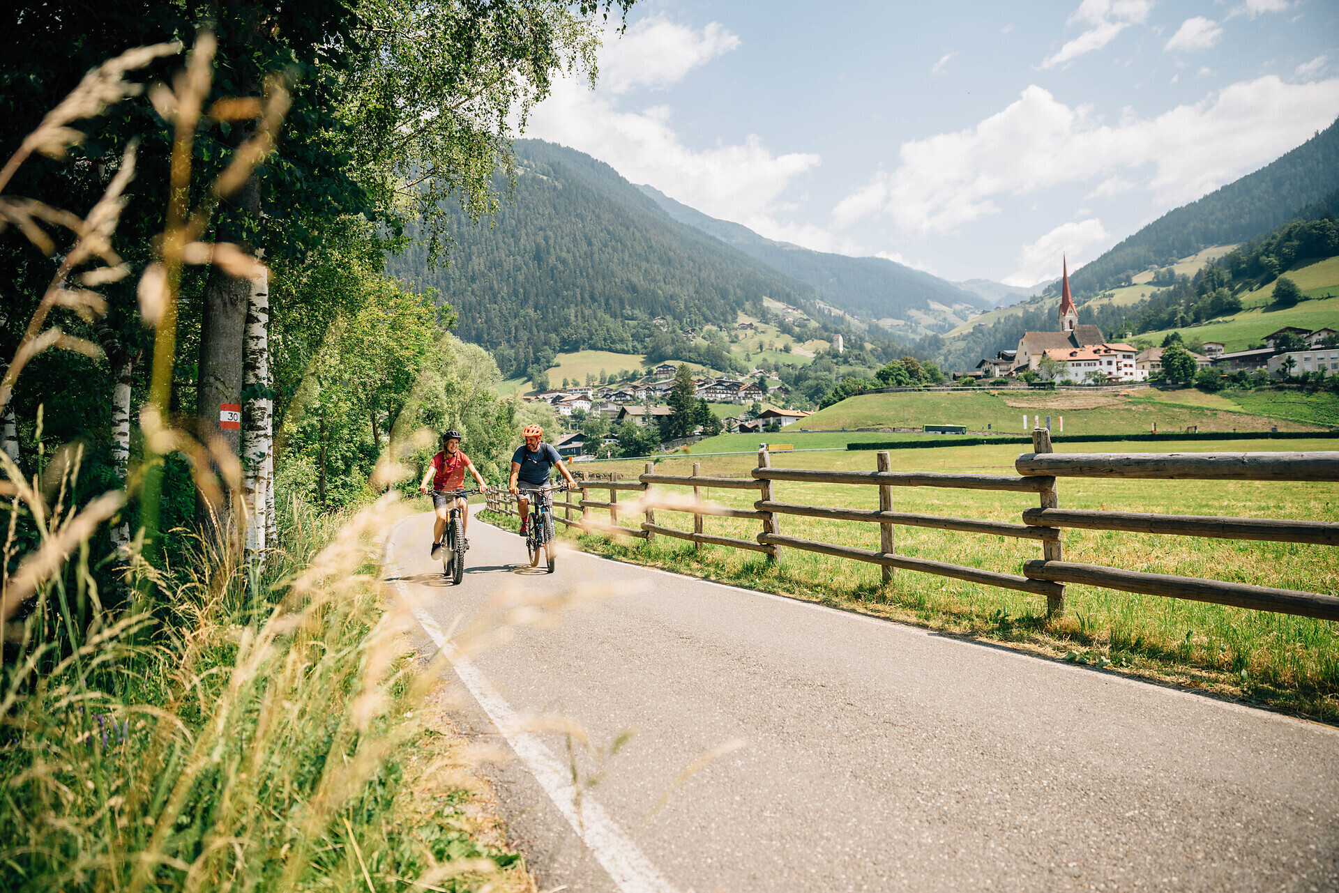
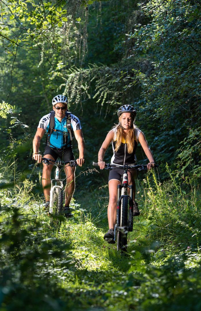
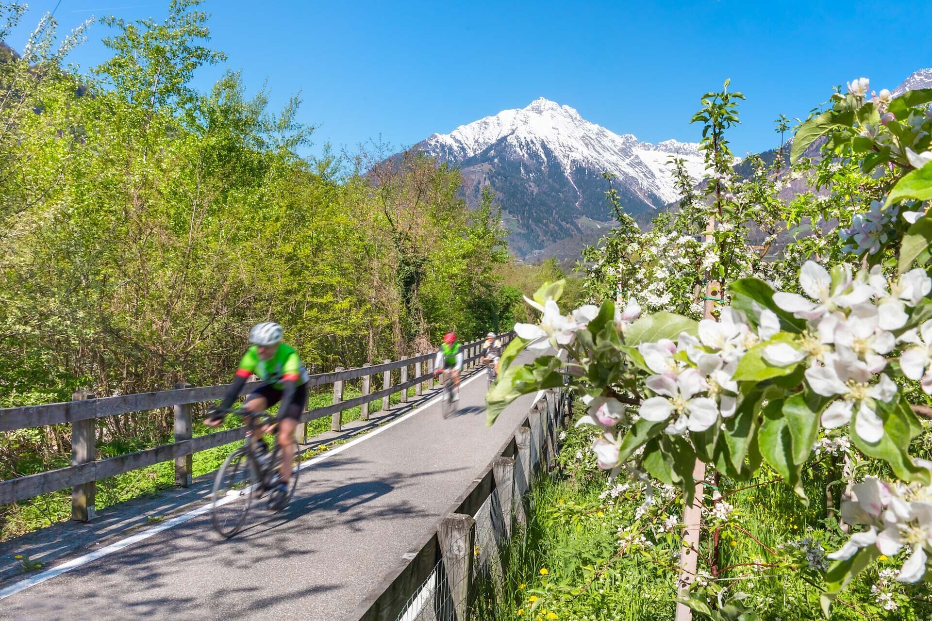
Thanks to its prime location right along the Etsch Cycle Route, Algund is the perfect starting point for tours in all directions – towards Vinschgau, Bolzano, or the spa town of Merano. If you enjoy climbing, there are varied MTB trails, forest paths, and alpine tours that combine sporting challenge with breathtaking views.
All Tours at a Glance
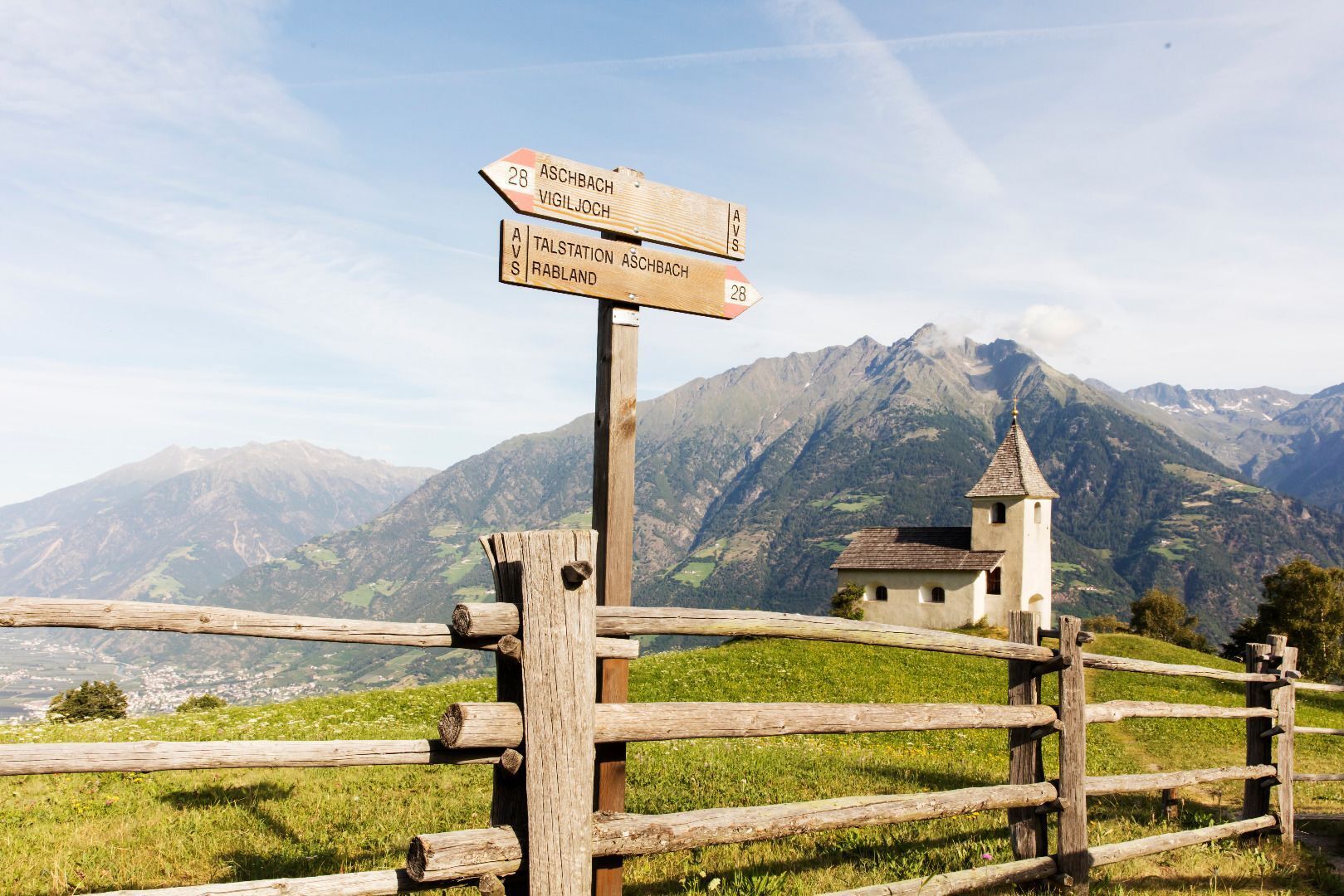
Ready to ride? Our interactive map shows all bike tours in and around Algund – including detailed information, difficulty levels, elevation profiles, and GPX data for your navigation.
Ride Safely
Download our tips and rules of conduct for a mindful and respectful cycling experience on paths and roads.
Download flyerThanks to its prime location right along the Etsch Cycle Route, Algund is the perfect starting point for tours in all directions – towards Vinschgau, Bolzano, or the spa town of Merano. If you enjoy climbing, there are varied MTB trails, forest paths, and alpine tours that combine sporting challenge with breathtaking views.
All Tours at a Glance
Ready to ride? Our interactive map shows all bike tours in and around Algund – including detailed information, difficulty levels, elevation profiles, and GPX data for your navigation.
Ride Safely
Download our tips and rules of conduct for a mindful and respectful cycling experience on paths and roads.