
within 5 minutes to merano
Close to the Spa Town
The route leads from Marlengo/Marling via Lana and Nalles/Nals to Andriano/Andrian. Change to the Etschtal Cycle Path, which leads to Bolzano/Bozen. One of the most ‘castle rich’ regions in all of Europe begins south of Merano/Meran. Worth mentioning are Hocheppan Castle in Missiano/Missian, Appiano/Eppan, Maultasch Castle (Burg Maultasch) near Terlano/Terlan and Sigmundskron Castle (Schloss Sigmundskron) near Firmiano/Firmian, Bolzano.
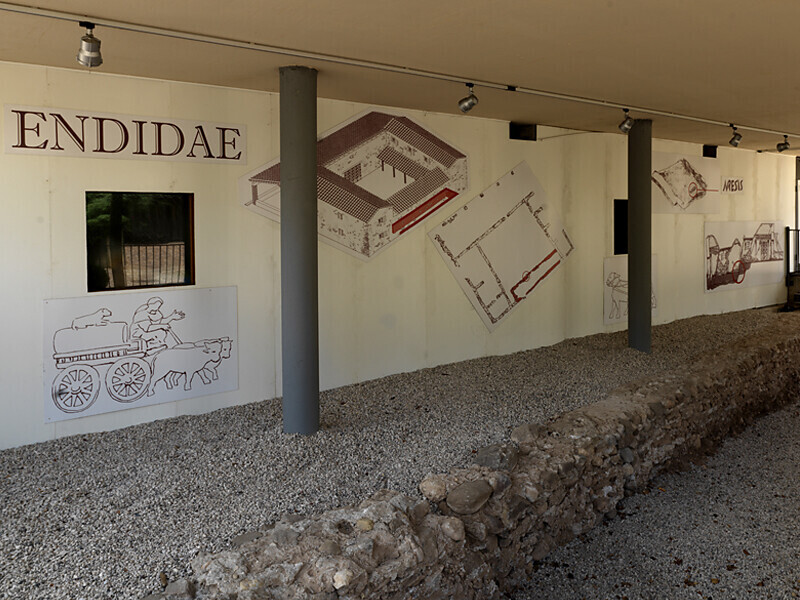
The route leads along the western edge of South Tyrol's capital city Bolzano (the best way to enter is to follow the Eisack river). The villages south of Bolzano have been historically strongly shaped by the navigable Etsch river. Of particular historical importance are the medieval village of Egna/Neumarkt with South Tyrol’s only proven Roman staging post, Endidae, and Salorno/Salurn, located on the language border at the Salurner Klause, the name of this narrow valley section.
The South Tyrolean portion of the Via Claudia Augusta, leading to Ostiglia near Verona or Quarto d’Altino near Venice, ends at Salorno.
Tip: interactive Via Claudia Augusta route planner available online at www.viaclaudia.org
The tour starts in Marling near the Church of the Assumption. Follow the route towards Tscherms and continue to Andrian, where you join the Adige cycle path. Continue towards Leifers, passing Neumarkt, until you reach Salorno.Getting to the starting point of the tour or point of interest by public transport is easy and convenient.
The best way to reach Marling is via the A22 motorway. Take the Bolzano Sud exit and follow the signs towards Merano/Marling. The way to Marling is well signposted.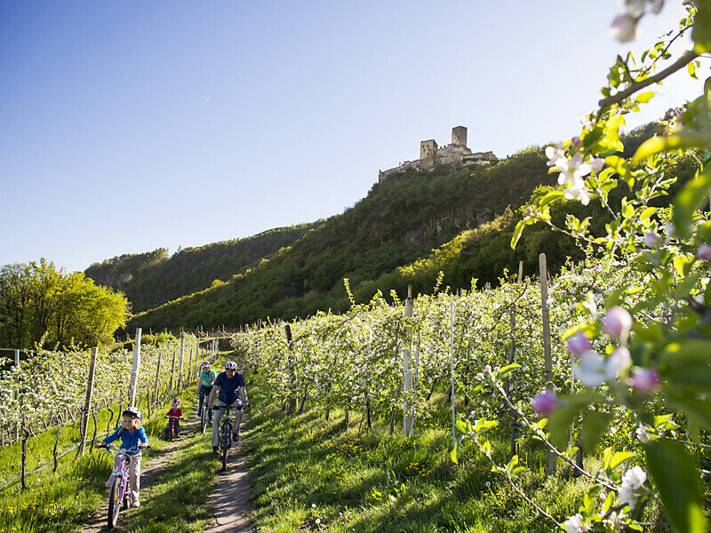
Bike tour Riffian- Trail along the Passer River Causeway - Riffian
Starting point: Riffian
End point: Riffian
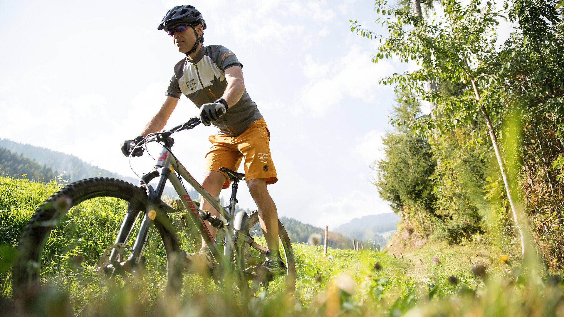
Bike tour St. Martin - Breiteben- Christl- St. Martin
Starting point: St. Martin in Passeier
End point: St. Martin in Passeier

The Etsch Bike Route is a pleasant cycle path running from Meran/Merano to Bozen/Bolzano. If you rent your bike at the “Südtirol Rad” or "Papin Sport" rental point in Meran, you may return it at that company’s rental point in Bozen ...