Algund - Meran - Passeier Valley
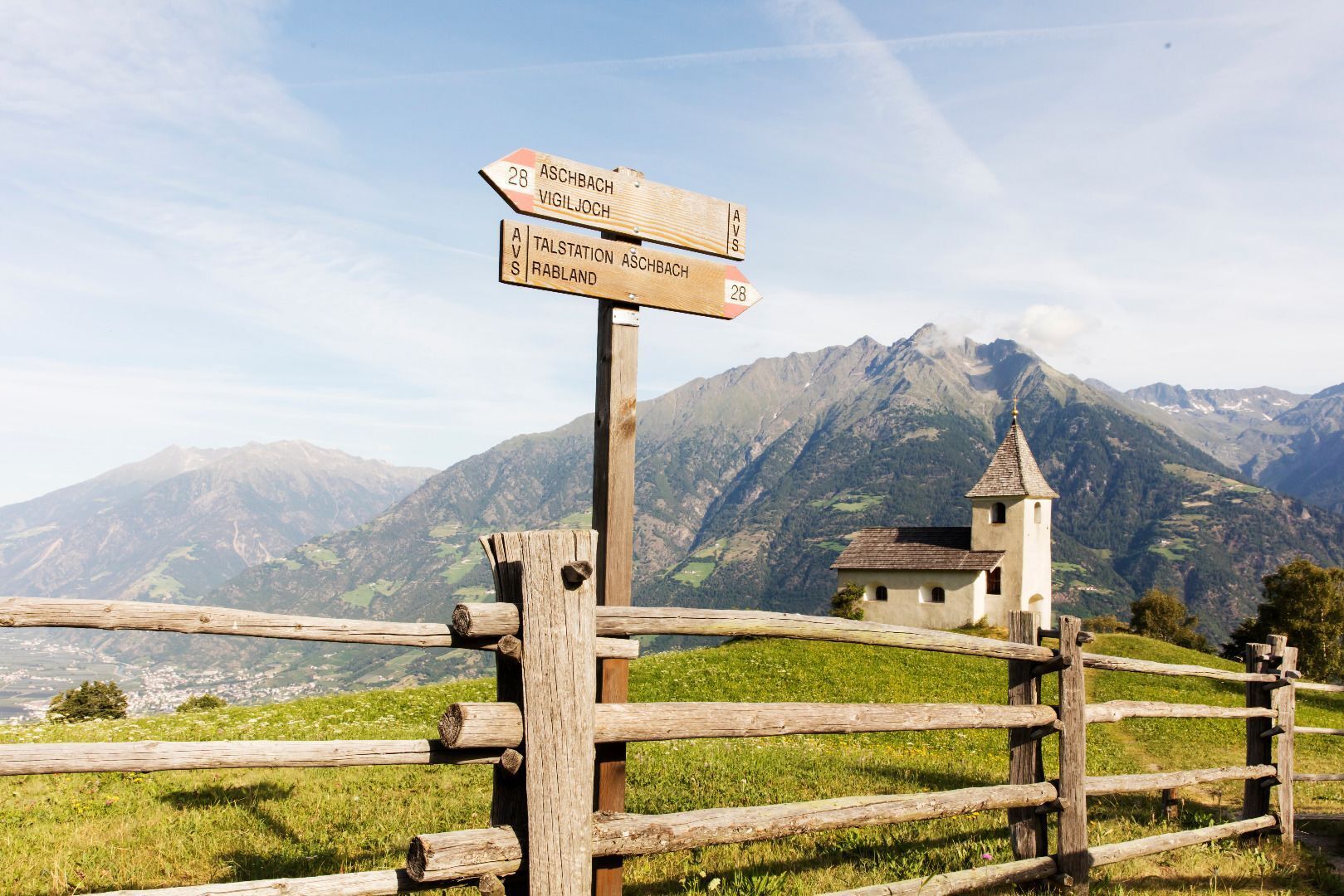
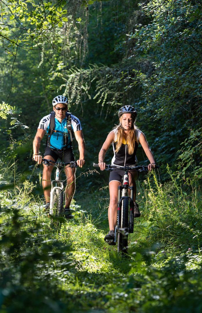
From Algund to Meran in the direction of the Passeier Valley. Before you come to the Zenoberg bridge, which leads across the Gilf canyon, turn right uphill to the Passer dam. The cycle path leads you mostly on gravelled road along the river Passer, which you must cross (bridges) several times. Passing the villages of Riffian, Saltaus and St. Martin. The road is well marked and without extended uphill runs until St. Leonhard.
The 20-km-long Passeiertal cycle route leads from Algund/Lagundo to Meran/Merano towards the Passeiertal valley. The route starts in Algund/Lagundo and takes you through the centre of the spa town of Meran/Merano to the Thermenplatz square and then across the Elisabeth park to Obermais/Maia Alta, always along the right bank of the river to the beginning of the Passeiertal cycle route. The first part of the route is asphalted before turning into a gravel road. You can see the village of Schenna/Scena with the castle, the church and the mausoleum of Archduke John of Austria on your right above the cycle route, whereas the villages of Tirol/Tirolo, Kuens/Caines and Riffian/Rifiano are situated on your left. The route then takes you past the villages of Saltaus/Saltusio and St. Martin/San Martino. The route is always well marked and leads to St. Leonhard/San Leonardo without major inclines. Take the same route to return.
Parking lot next to the outdoor swimming pool in Algund.


