Almen-Tour
Route length in km: 33,0
Vertical climb: ascent 979m – descent 1.814m
Surface: asphalt,forest path, 1 short Single-Trail-section
Required technical skills: S0/S1/S2 – easy with short Single-Trail-section S1/S2
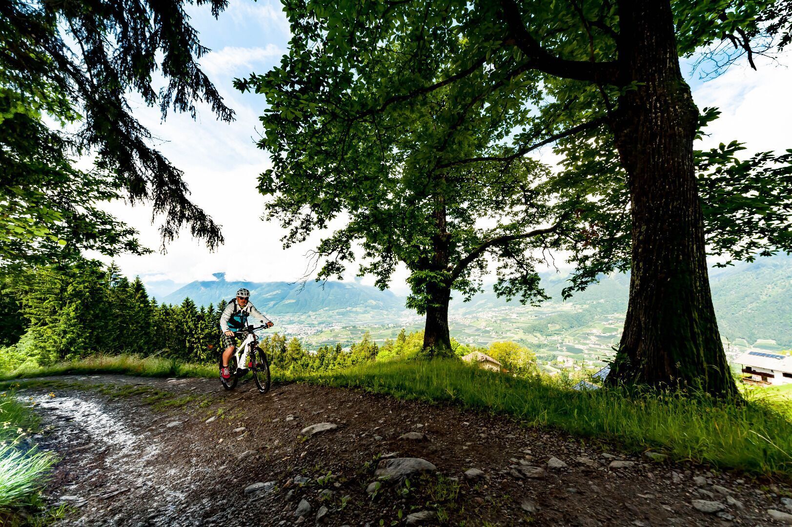
Cableway to Aschbach/Rio Lagundo, infopoint turn right along the road until the village finish, forest path direction Vigiljoch/San Vigilio, turn right at the junction forest path direction Naturnser Alm, 9A to Vigiljoch church, forest path 9 to Seespitz, descent on Single-Trail to junction forest path, turn left to forest path 27A direction Aschbach, descent passing Unterobereben following road to Töll/Tel.
Alternative descent: Stuanbruch-Trail (S3) or Mohlboch-Trail (S1)
Via Saring, Rabland/Rablà (parking lot No. 1 at the cycling track, close to the railway station) all-day parking, in the designated parking lot
Via Cutraun, Rabland/Rablà (parking lot No. 2 on the cycling track, close to the railway station ) All-day parking, in the designated parking lot
From Meran/o: train 250 to Rabland/Rablà
From Vinschgau valley: train 250 to Rabland/Rablà
Fancy a hiking holiday in Algund?
We will gladly help you to plan your holiday in Algund.
Brand Trail
| Length: 29,08 km | Highest point: 1746 m
The access to the Brand trail is at the parking lot “Kreuzbrünnl” following the signposts “Uphill Naturnser Alm”. After about 1,5 km turning left into a forest road ...


