within 5 minutes to merano
Close to the Spa Town

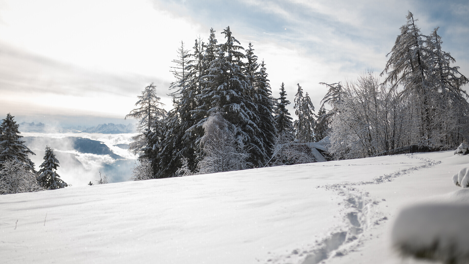
Long mountain tour with botanical specialities along the foothills of the Ortler Alps and the Vigiljoch above Lana in the Meraner Land.
Circular path, going from the mountain station of the cableway Vigiljoch or Aschbach. The trail leads to the St. Vigilius church, already existing and marked, to the Bärenbad Alm and further to the Naturnser soils (Rauher Bühel). The route continues into the Kirchbachtal to the Outer and Inner Falkomai Alm, from there to the "Three Lakes", Tablander Jöchl (2.500 m) and then on the Naturnser Nörderberg to the Tablander Alm, the Zetn Alm and then the Naturnser Alm. The other stations are Aschbach, Eggerhof (St. Martin) and finally back to the starting point via the Eggersteig.
With the cable car and the chair lift you reach an altitude of about 1800 meters. Then you ascend via path no. 4 almost to St. Vigilius-Kirchlein, where the actual "Alpenrosenweg" begins. At first the path bears the mark No. 30 and leads to a fork where you follow No. 9 in the direction of Hochwart. Gradually the terrain becomes more open and at the right time of year you cross huge flowering alpine rose fields. After about two hours of walking, in which you hike up and down into the valley, you reach a fork in the path. There you take the path in the direction of Stafler Alm (No. 1). This farmed alpine pasture (1885 m) lies somewhat below the Alpenrosenweg, which is why you cannot pass it directly. Always following the almost flat Alpenrosenweg (no. 1) in the direction of Außerfalkomai Alm, after about three and a half hours you reach a hut below the farmed Alm. There you leave the Alpenrosenweg and take path no. 3 which leads steeply down to a forest road, which you follow out of the valley towards Falkomai Kuhalm. Shortly before the farmed alp, path no. 3 descends in the direction of St. Pankraz. This almost always leads steeply down along the Kirchbach. Finally, after almost six hours you reach the village centre of St. Pankraz, where you return to the starting point by bus to Lana.
The cable car is easily accessible by public transport. The Lana bus station is just a 3-minute walk from the valley station. Take advantage of the well-developed public transport network and the convenient connections to the train stations in Marlengo, Merano, or Lana/Postal.
Bus line 211 (Lana–Merano), line 214 (Lana–Foiana), line 215 (Citybus Lana), line 218 (Lanabus), line 245 (Merano–Lana–Ultimo), line 246 (Merano–Lana–Gampen Pass)
Current timetables can be found at: www.suedtirolmobil.info
Parking at the valley station of the cable car is limited and subject to a fee. We therefore recommend arriving by public transport.
A little surefootedness. Trekking shoes are recommended. Elementary orientation skills.