Duration: 4h 1
Length: 7,9 km
Difficulty: Difficult
Altitude uphill: 1216 hm
Altitude downhill: 26 hm
Highest point: 1519 m
Municipality: Algund
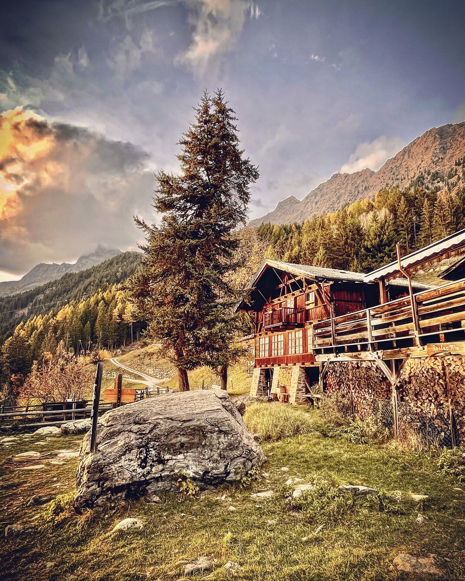
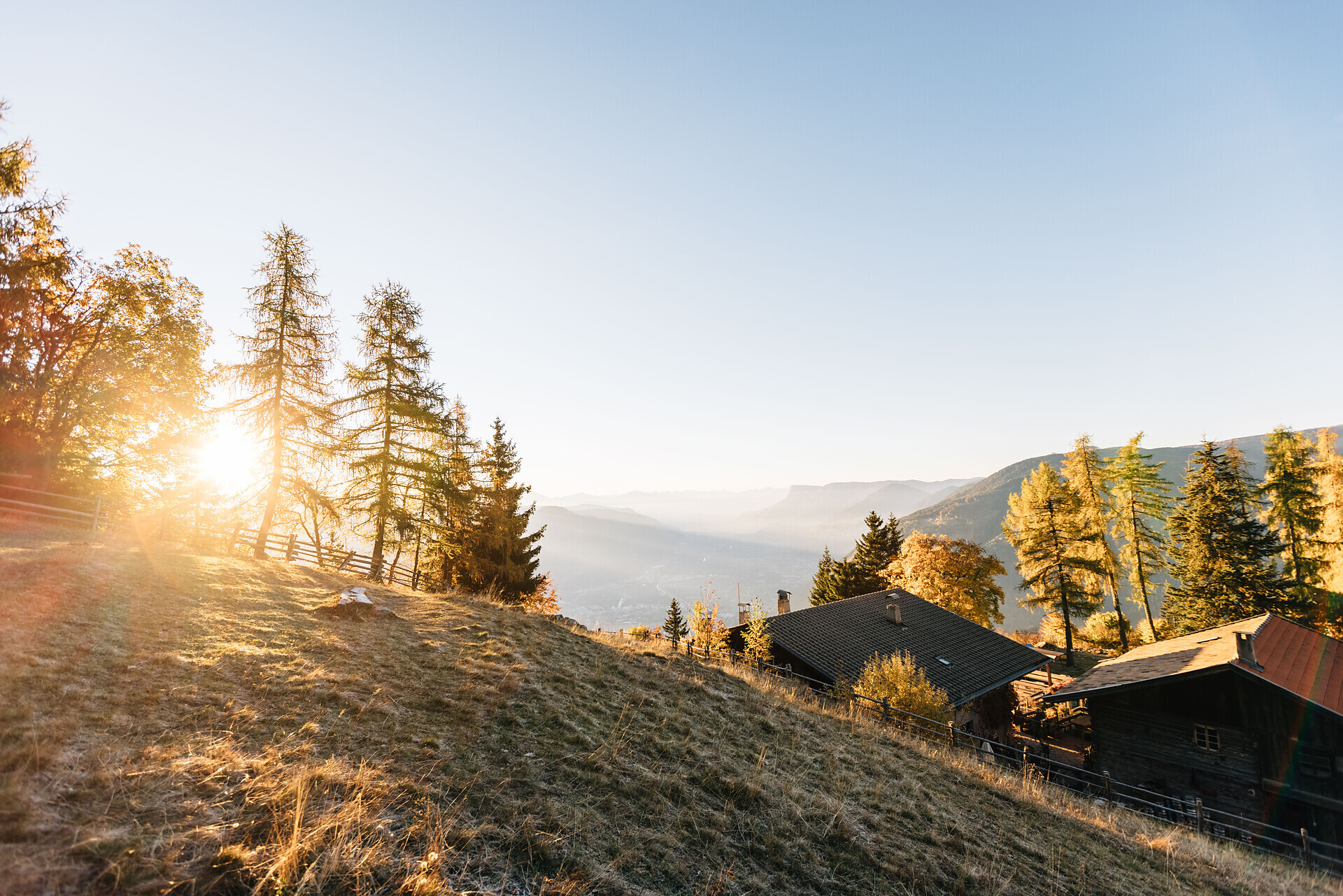
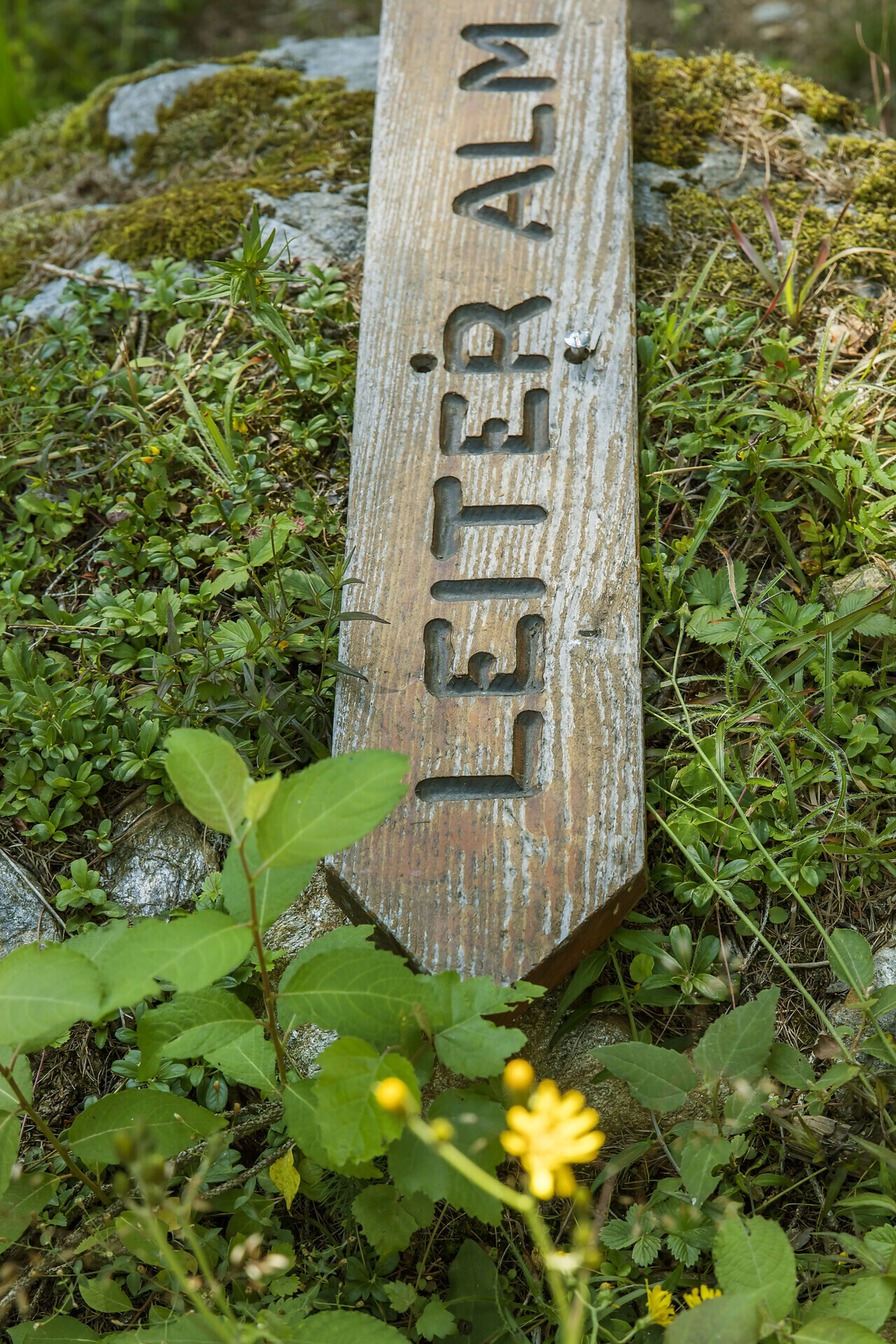
The Leiteralm is easily accessible from Vellau and a very popular hiking destination for young and old.
The Leiter Alm is located directly at the well-known Meraner Höhenweg at 1550 m.
It is located in the heart of the Nature Park Texelgruppe and is an ideal starting point for hikes and summit tours.
The Leiteralm offers their guests delicious traditional and international dishes.From the centre of Algund/Lagundo (near the new parish church), trail no. 25A leads to Café Konrad. Proceed along the same trail until the Schlundenstein natural monument and then along trail no. 21 to Vellau/Velloi, where you take trail no. 26 up to the Kienegger and Oberplatzer inns. Continue along trail no. 25A to the mountain station of the gondola basket lift Vellau/Velloi-Leiter Alm mountain hut just below the mountain hut. Return by gondola basket lift to Vellau/Velloi and then by chair lift to Mitterplars/Plars di Mezzo-Algund/Lagundo or on foot by following the same route until Vellau/Velloi before taking the Saxnerweg trail no. 26A to Oberplars/Plars di Sopra, Mitterplars/Plars di Mezzo and Algund/Lagundo.
By train to Merano and by bus line 235 to Algund or Vellau.
On the following page you will find the travel times for public transport (www.sii.it).
- Parking directly at the valley station of the chair lift in Mitterplars (only for those who use the chair lift).
- Parking at the Lido outdoor pool in Algund.
- Parking in the center of Algund, opposite the town hall (at additional costs).