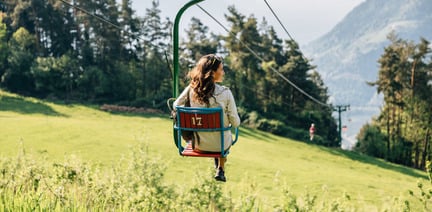


within 5 minutes to merano
Close to the Spa Town

Route length in km: 33,0
Vertical climb: ascent 979m – descent 1.814m
Surface: asphalt,forest path, 1 short Single-Trail-section
Required technical skills: S0/S1/S2 – easy with short Single-Trail-section S1/S2
Cableway to Aschbach/Rio Lagundo, infopoint turn right along the road until the village finish, forest path direction Vigiljoch/San Vigilio, turn right at the junction forest path direction Naturnser Alm, 9A to Vigiljoch church, forest path 9 to Seespitz, descent on Single-Trail to junction forest path, turn left to forest path 27A direction Aschbach, descent passing Unterobereben following road to Töll/Tel.
Alternative descent: Stuanbruch-Trail (S3) or Mohlboch-Trail (S1)
From Meran/o: train 250 to Rabland/Rablà
From Vinschgau valley: train 250 to Rabland/Rablà
Via Saring, Rabland/Rablà (parking lot No. 1 at the cycling track, close to the railway station) all-day parking, in the designated parking lot
Via Cutraun, Rabland/Rablà (parking lot No. 2 on the cycling track, close to the railway station ) All-day parking, in the designated parking lot
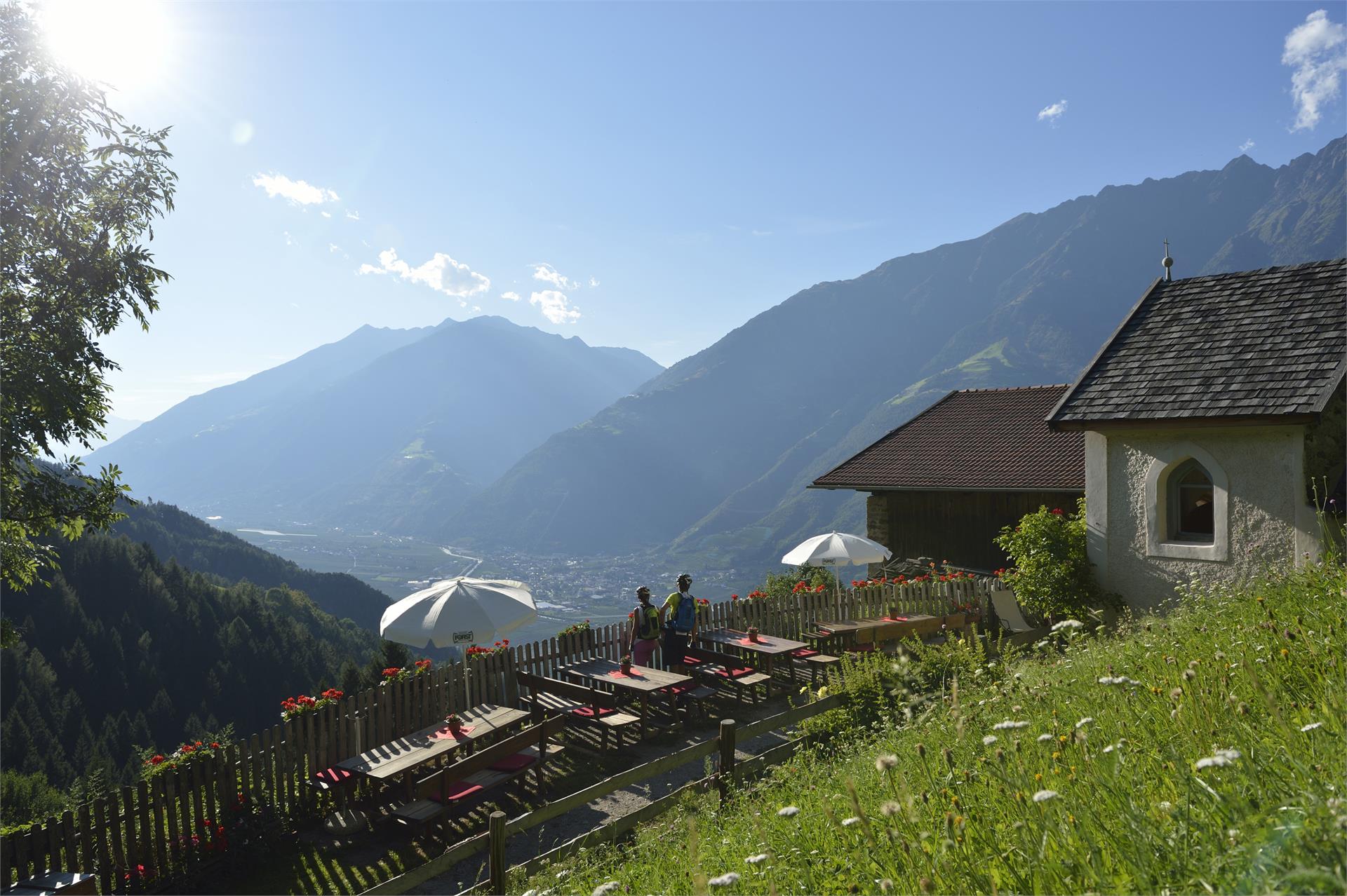
Cuisine for bikers: https://bit.ly/3cnDQlF


The starting-point for the Wolf Trail is just below the Schartegg parking lot. The wooded trail isn’t technically demanding (S1) and it leads from the Nörderberg mountain to Tabland, with various possible entry points.
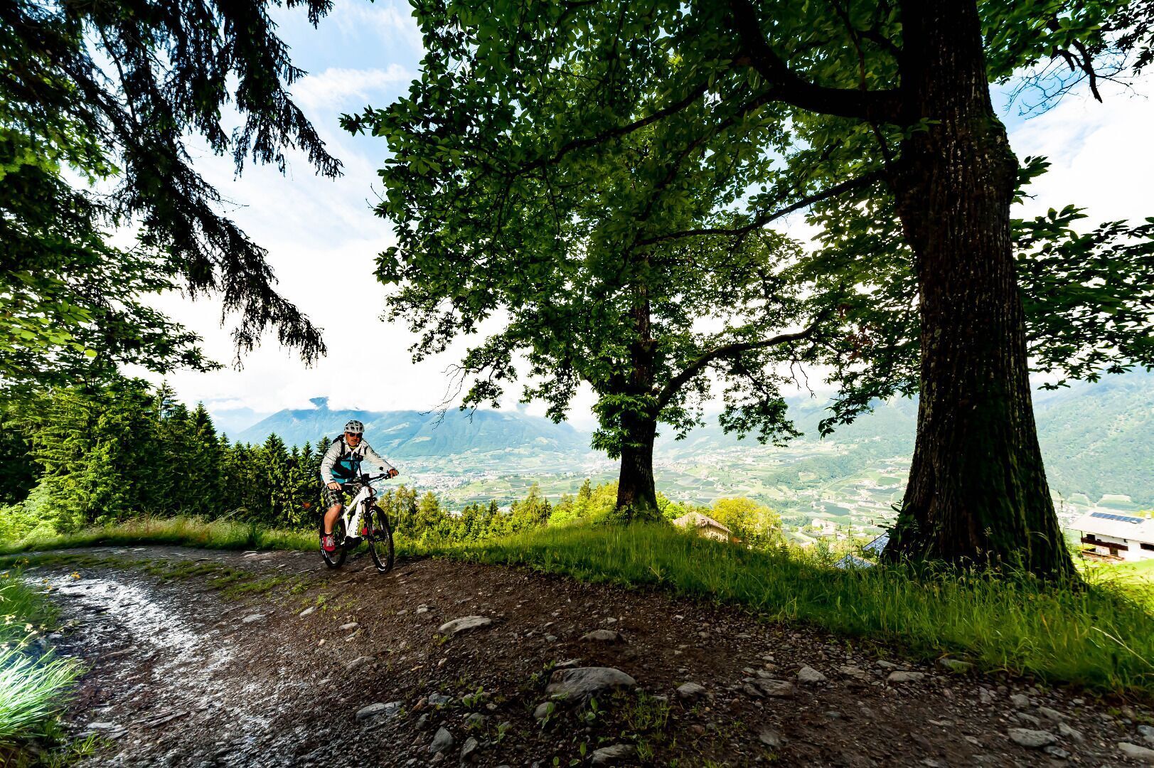
The access to the Brand trail is at the parking lot “Kreuzbrünnl” following the signposts “Uphill Naturnser Alm”. After about 1,5 km turning left into a forest road ...