
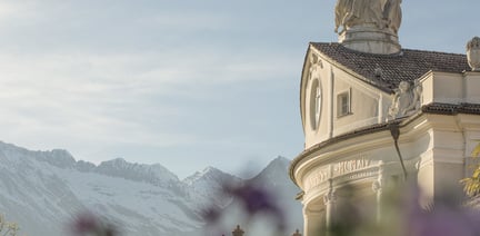
within 5 minutes to merano
Close to the Spa Town
Cycling routes for nature lovers!
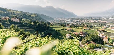
From the Adige Valley to the mountains, visitors can cycle with constant temperatures through shady forests and flowering meadows, far away from the hustle and bustle of traffic.
Tour route and altitudes direction Reschensee/Lago Resia - starting point Rabland/Rablà:
• Start point - Rabland/Rablà: 525 m
• Meran/o: 374 m after 8 km of cycling route
• Kalterer See / Lago di Caldaro (lake Caldaro): 215 m after 35 km of cycling route
• Büzen/Bolzano: 261 m after 60 km of cycling route
-Saringstraße, Rabland/Rablà (parking lot No. 1 at the cycling track, close to the railway station)
all-day parking, in the designated parking lot
-Cutraunstraße, Rabland (parking lot No. 2 on the cycling track, close to the railway station )
All-day parking, in the designated parking lot
Our tip: BikemobilCard - one ticket for all means of transport!
Travel around South Tyrol with public means of transport and rent a bike with just one ticket!
The BikemobilCard allows you to make full use of South Tyrol's Integrated Public Transport network on one, three or seven consecutive days. In addition, on one day of your choice during the validity period of your BikemobilCard you may rent a bike in one of the railway stations’ bike rentals or in various further rental points dislocated throughout the territory. In every bike rental participating in the initiative it is possible to rent and return bikes. Feel free to return your bike at a rental point differing from that of departure.


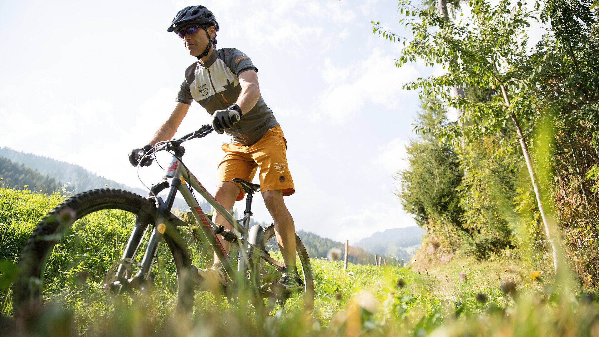
Bike tour St. Martin - Breiteben- Christl- St. Martin
Starting point: St. Martin in Passeier
End point: St. Martin in Passeier
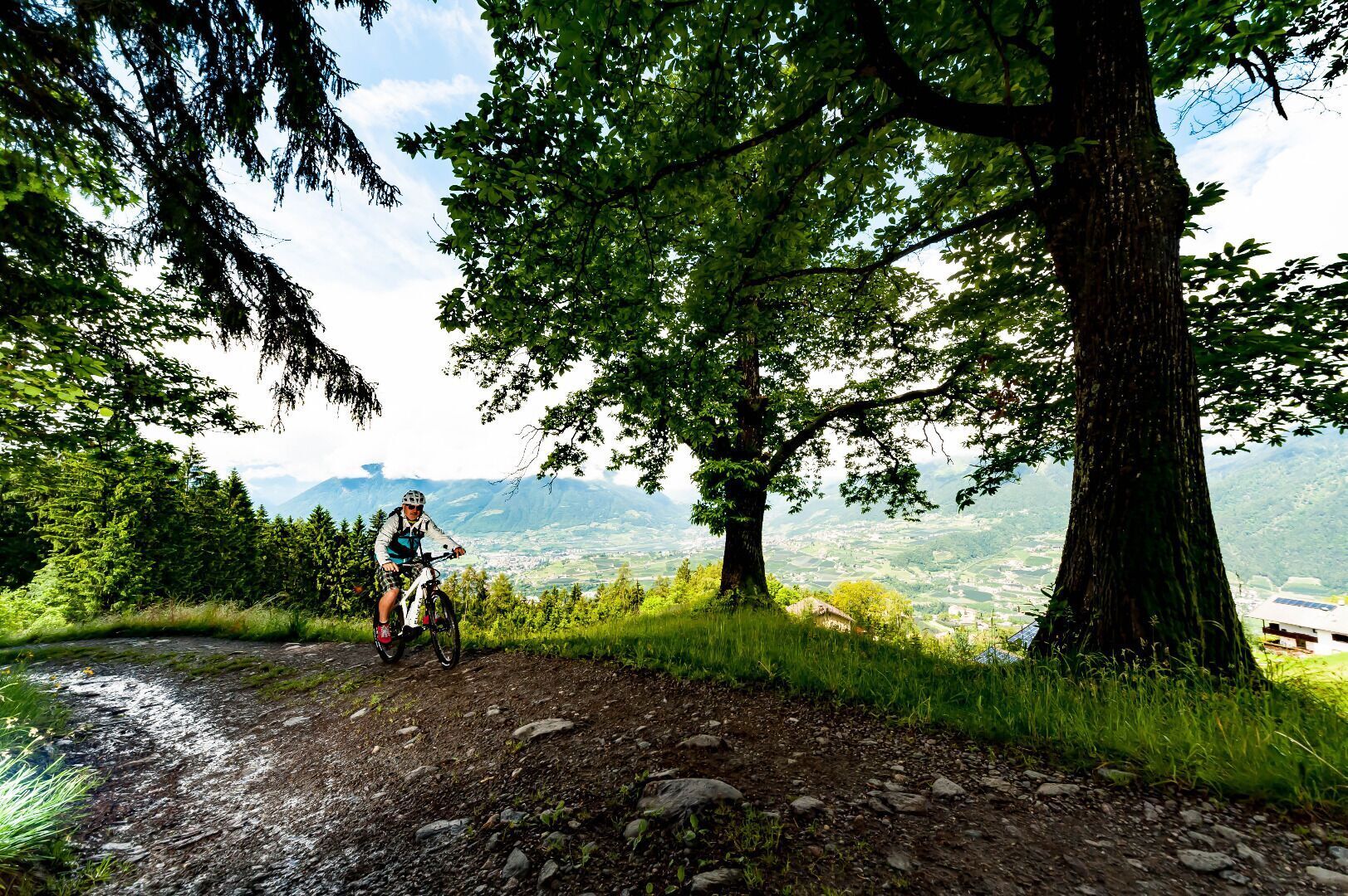
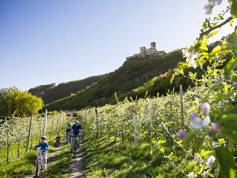
The route leads from Marlengo/Marling via Lana and Nalles/Nals to Andriano/Andrian. Change to the Etschtal Cycle Path, which leads to Bolzano/Bozen. One of the most ‘castle rich’ regions in all of Europe begins south of Merano/Meran. Worth ...