within 5 minutes to merano
Close to the Spa Town

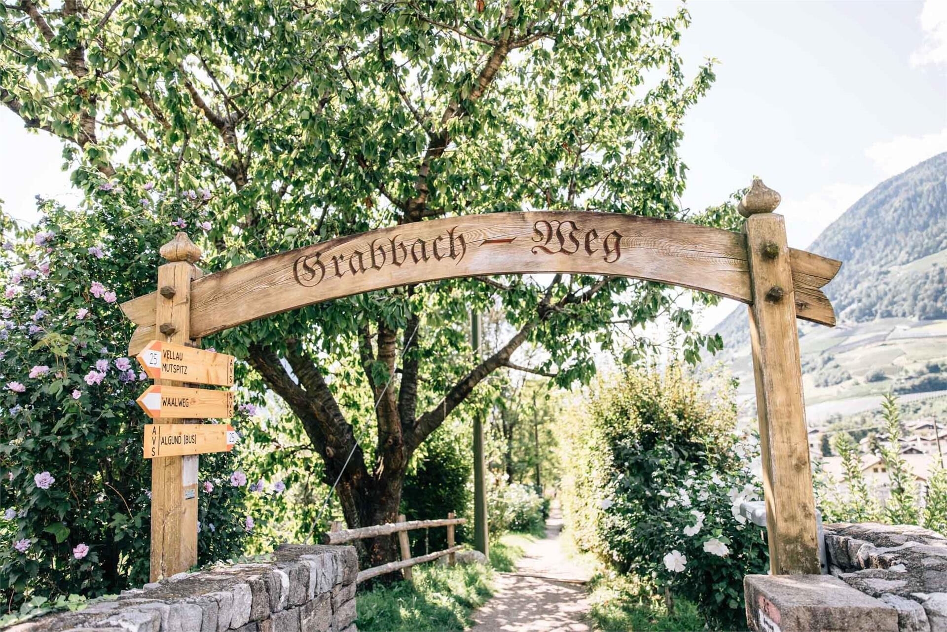
Follow the Grabbachweg trail until Café Konrad and continue along path no. 25A up to the Schlundenstein, a large rock from the Ice Age. From there take path no. 21 that intersects with the road to Vellau/Velloi. Continue along the beautiful old Oberplarser Waalweg canal trail (now flowing underground) until the Saxner Mühle mill. Cross the small bridge to Parcines, pass by the Niedermair restaurant and take the Vertigenstraße road to Partschins/Parcines. Return to the Töllgraben trench along the Franz-von-Goldegg road, continue through orchards to Oberplars/Plars di Sopra and follow the signs to return to the centre of Algund/Lagundo.

The Eichhörnchenweg trail in Marling/Marlengo functions as an educational nature trail and is identified with the emblem of a squirrel. The one km family-friendly circuit has 23 interactive stations which allow ...

The newly-opened Knottnkino³ circuit trail connects the three red porphyry rocks of Vöran. Starting from the Vöran-Burgstall upper cableway station, the trail leads to the three panoramic landmarks of Vöran: ...

High above Partschins/Parcines sits the well-known local mountain of Partschins/Parcines, the Zielspitze summit!
The three-thousand-metre peak is the first peak in ...