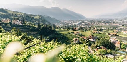


within 5 minutes to merano
Close to the Spa Town

Route length in km: 21,8
Vertical climb: ascent 1.055m – descent 1.006m
Surface: asphalt,forest path
Required technical skills: S0 – easy
Infopoint Töll/Tel bridge, road direction Quadrat/Quadrato, Mahlbach, turn right forest path 30/27A until you arrive junction (barrier), at junction turn left direction Stuanbruch-Trail, road to Quadrat/Quadrato and Töll/Tel.
Alternative descent: Stuanbruch-Trail (S3) to junction forest path, on path 27A turn right to forest trail or Mohlboch-Trail, restaurant Brünnl, restaurant Niederhof, Quadrat/Quadrato, Töll/Tel.
From Meran/o: train 250 or bus 213 to Töll/Tel
From Vinschgau valley: train 250 to Töll
Töll/Tel bridge parking lot
Cuisine for bikers: https://bit.ly/3cnDQlF
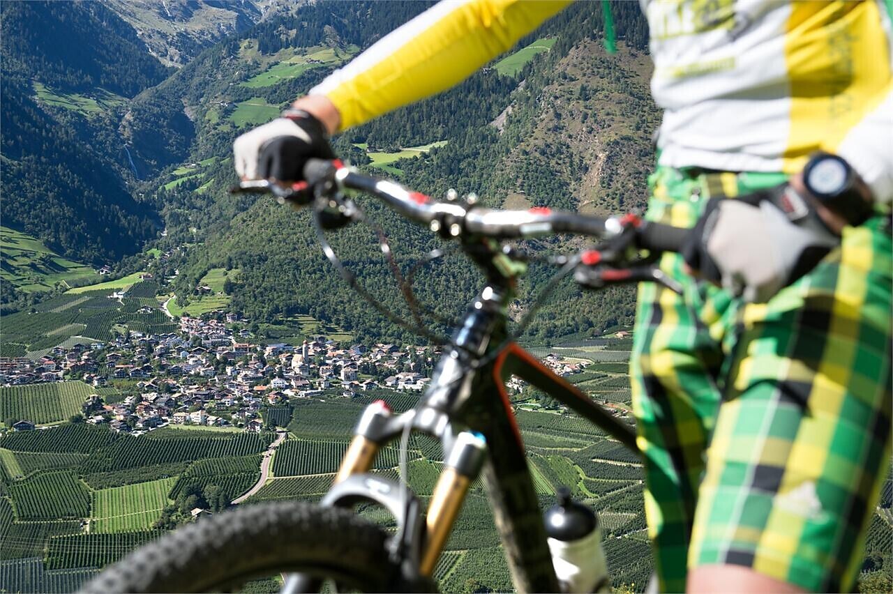
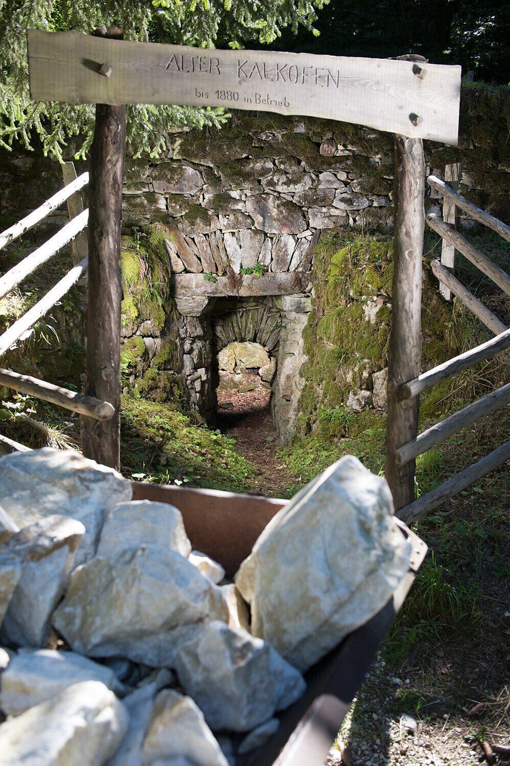
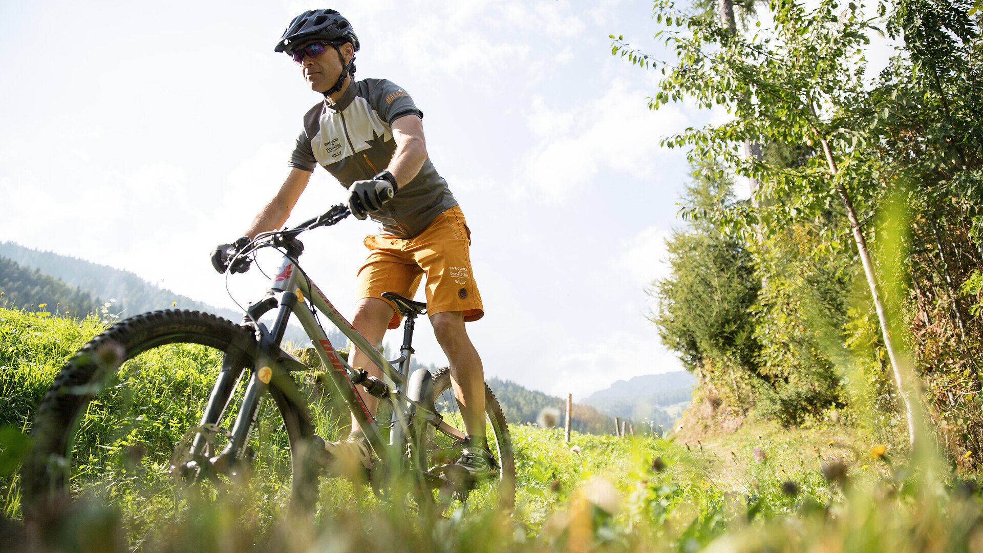
Bike tour St. Martin - Breiteben- Christl- St. Martin
Starting point: St. Martin in Passeier
End point: St. Martin in Passeier
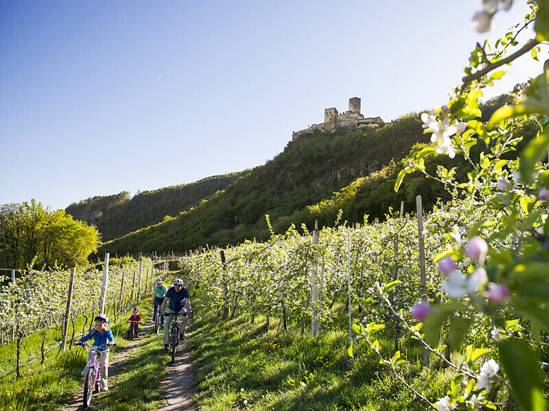
The route leads from Marlengo/Marling via Lana and Nalles/Nals to Andriano/Andrian. Change to the Etschtal Cycle Path, which leads to Bolzano/Bozen. One of the most ‘castle rich’ regions in all of Europe begins south of Merano/Meran. Worth ...