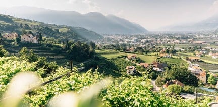


within 5 minutes to merano
Close to the Spa Town
Starting point: Töll Etschbrücke bridge (525m)
Destination point: Aschbach cableway mountain station (1,342m)
After the start of the trail there follows a 2.4 km long steep climb (16%), then leading past various farms to the hamlet of Aschbach (1,342m). The entire route is paved.
From Meran/o: train 250 or bus 213 to Töll/Tel
From Vinschgau valley: train 250 to Töll
Töll/Tel bridge
Biker Brettl: https://bit.ly/2PDPejG
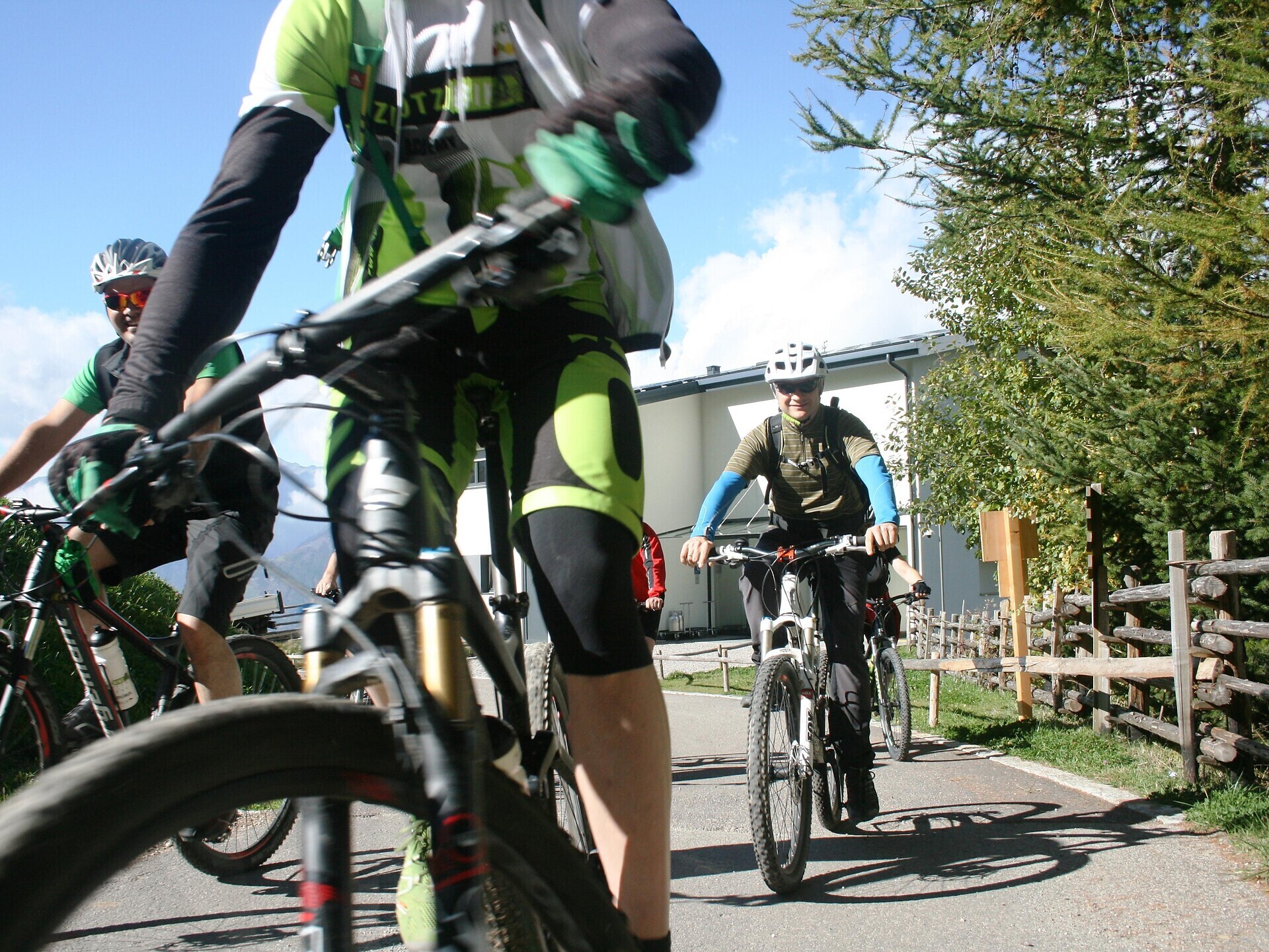
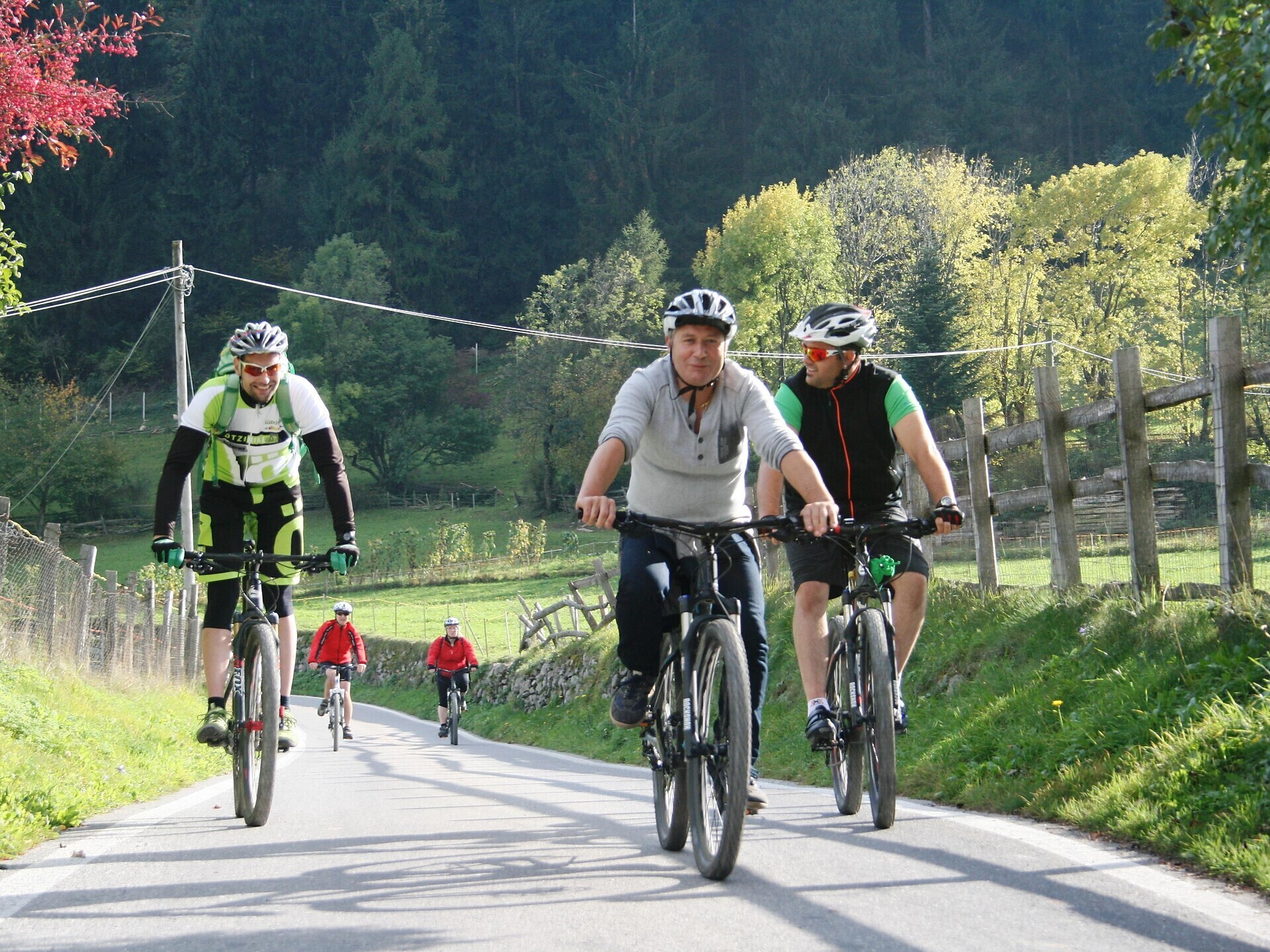
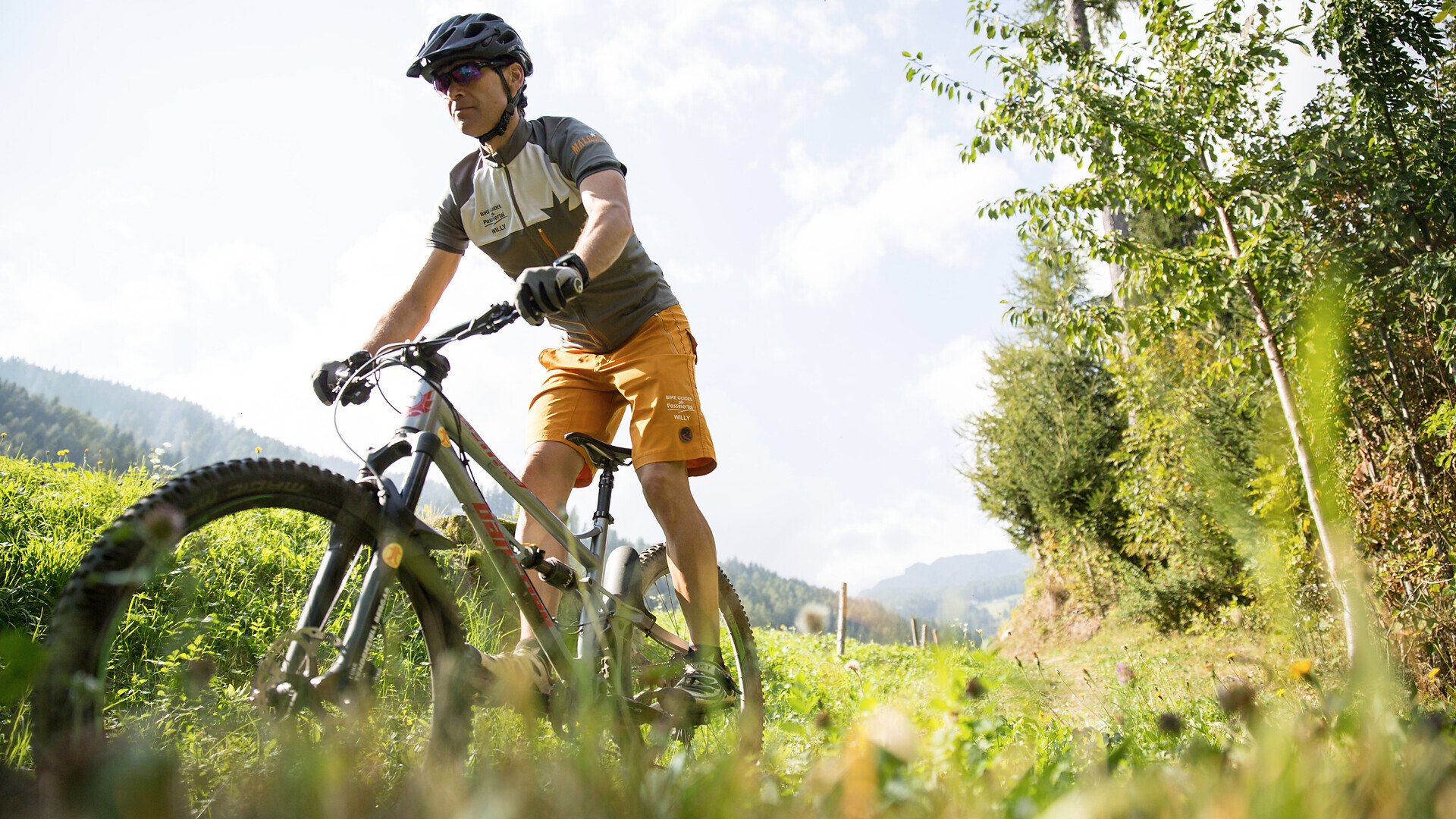
Bike tour St. Martin - Breiteben- Christl- St. Martin
Starting point: St. Martin in Passeier
End point: St. Martin in Passeier
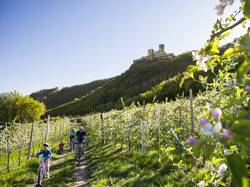
The route leads from Marlengo/Marling via Lana and Nalles/Nals to Andriano/Andrian. Change to the Etschtal Cycle Path, which leads to Bolzano/Bozen. One of the most ‘castle rich’ regions in all of Europe begins south of Merano/Meran. Worth ...