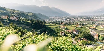

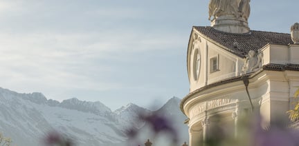
within 5 minutes to merano
Close to the Spa Town

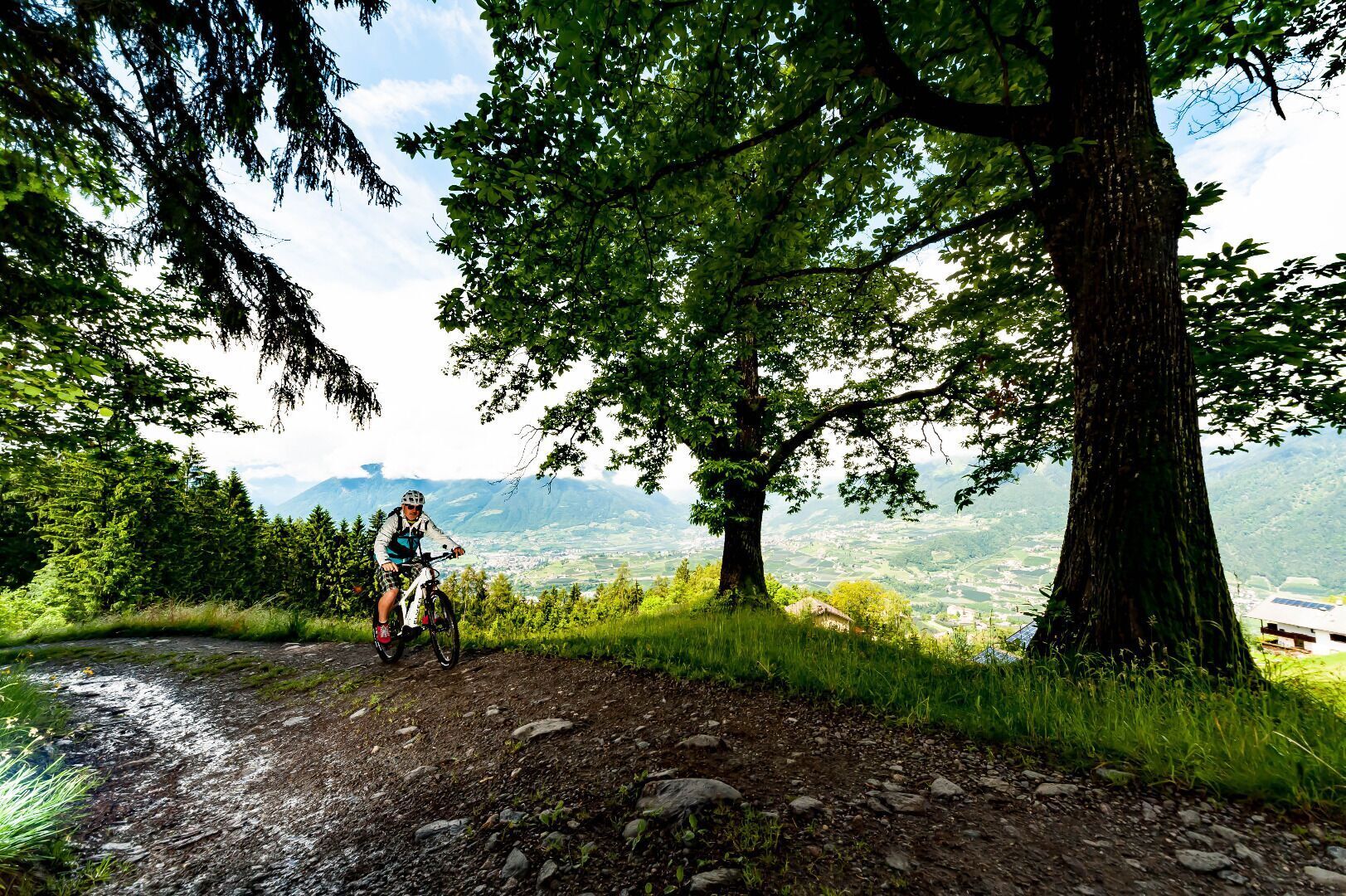
Start at the tourist office and go to the swimming pool to take the Adige cycle path towards Meran/Merano. Cross Meran/Merano and continue past the Lazag recreation area towards the Passeiertal valley until the Plantastraße road. Turn left into the Rothalerweg road and continue up to Schenna/Scena. Cross the village until you reach the St. Georgener Straße road that you follow until the Gsteierweg road that takes you to the Gsteier restaurant.
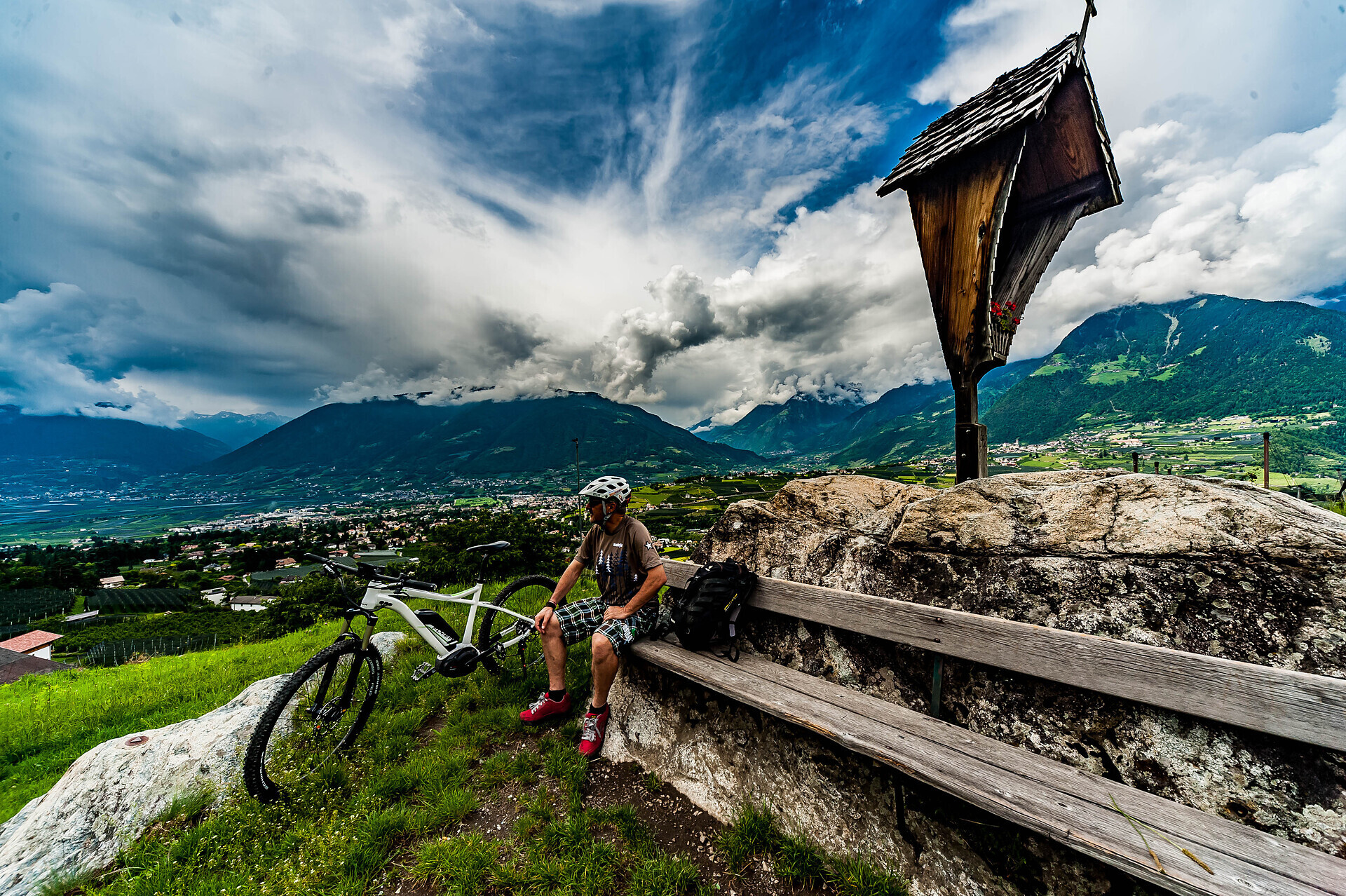

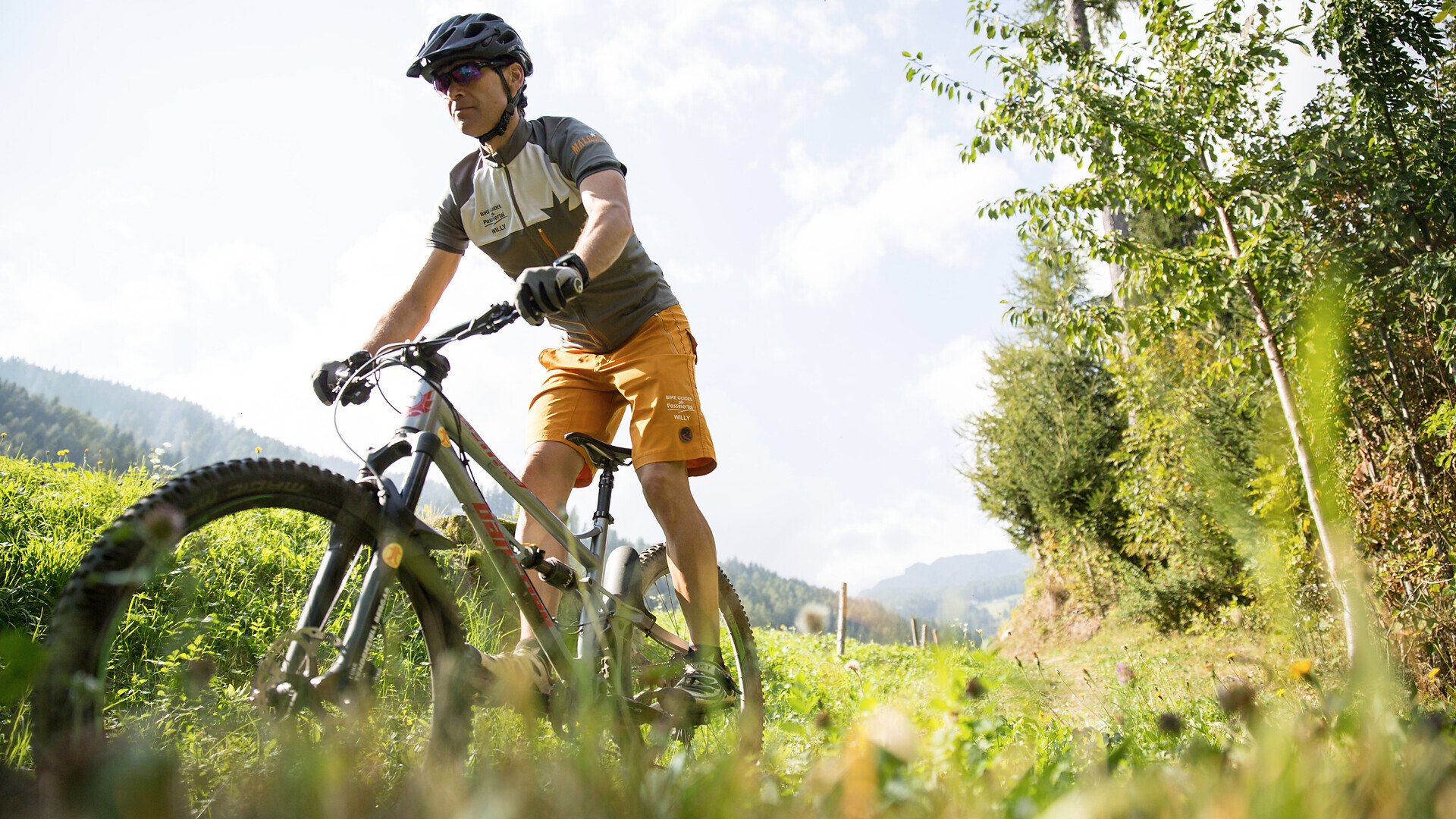
Bike tour St. Martin - Breiteben- Christl- St. Martin
Starting point: St. Martin in Passeier
End point: St. Martin in Passeier
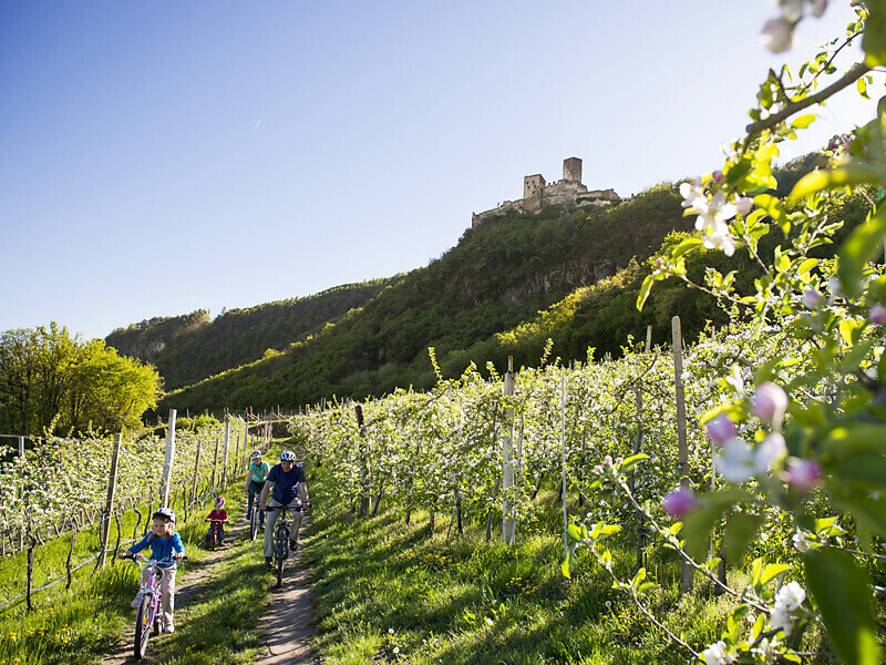
The route leads from Marlengo/Marling via Lana and Nalles/Nals to Andriano/Andrian. Change to the Etschtal Cycle Path, which leads to Bolzano/Bozen. One of the most ‘castle rich’ regions in all of Europe begins south of Merano/Meran. Worth ...