Cycling through Val Venosta Via Claudia Augusta stage Rabland/Rablà-Reschen/Resia
Cycling routes for nature lovers - discover the Venosta Valley from Rabland/Rabland to Reschen/Resia!
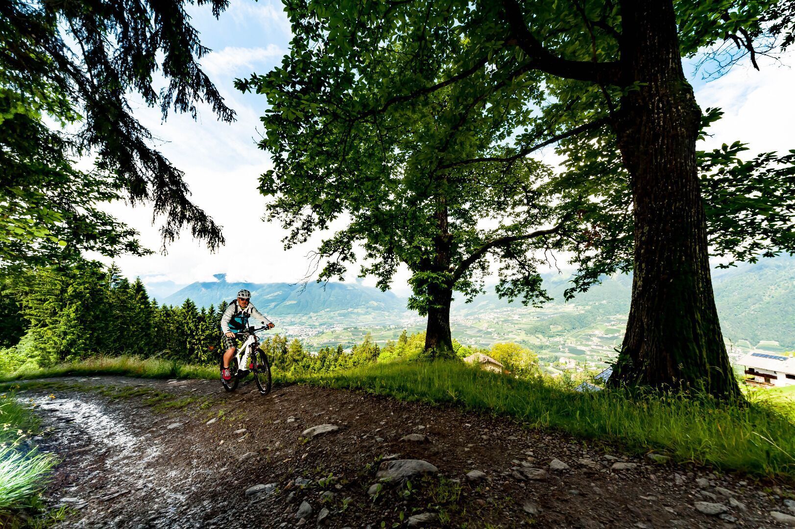
From the Adige Valley to the mountains, visitors can cycle with constant temperatures through shady forests and flowering meadows, far away from the hustle and bustle of traffic.
Tour route and altitudes direction Reschensee/Lago Resia - starting point Rabland/Rablà:
• Start point - Rabland/Rablà: 525 m
• Naturns/Naturno: 554 m after 7 km of cycling route
• Staben/Stava: 560 m after 10 km of cycling route
• Latsch/Laces: 626 m after 20 km of cycling route
• Laas/Lasa: 850 m after 33 km of cycling route
• Glurns/Glorenza: 907 m after 50 km of cycling route
• Schluderns/Sluderno: 921 m after 55 km of cycling route
• Mals/Malles: 1.051 m after 60 km of cycling route
• End point - Reschenpass/Passo Resia: 1.500 m after 80 km of cycling route
-Saringstraße, Rabland/Rablà (parking lot No. 1 at the cycling track, close to the railway station)
all-day parking, in the designated parking lot
-Cutraunstraße, Rabland (parking lot No. 2 on the cycling track, close to the railway station )
All-day parking, in the designated parking lot
Fancy a hiking holiday in Algund?
We will gladly help you to plan your holiday in Algund.
Brand Trail
| Length: 29,08 km | Highest point: 1746 m
The access to the Brand trail is at the parking lot “Kreuzbrünnl” following the signposts “Uphill Naturnser Alm”. After about 1,5 km turning left into a forest road ...


