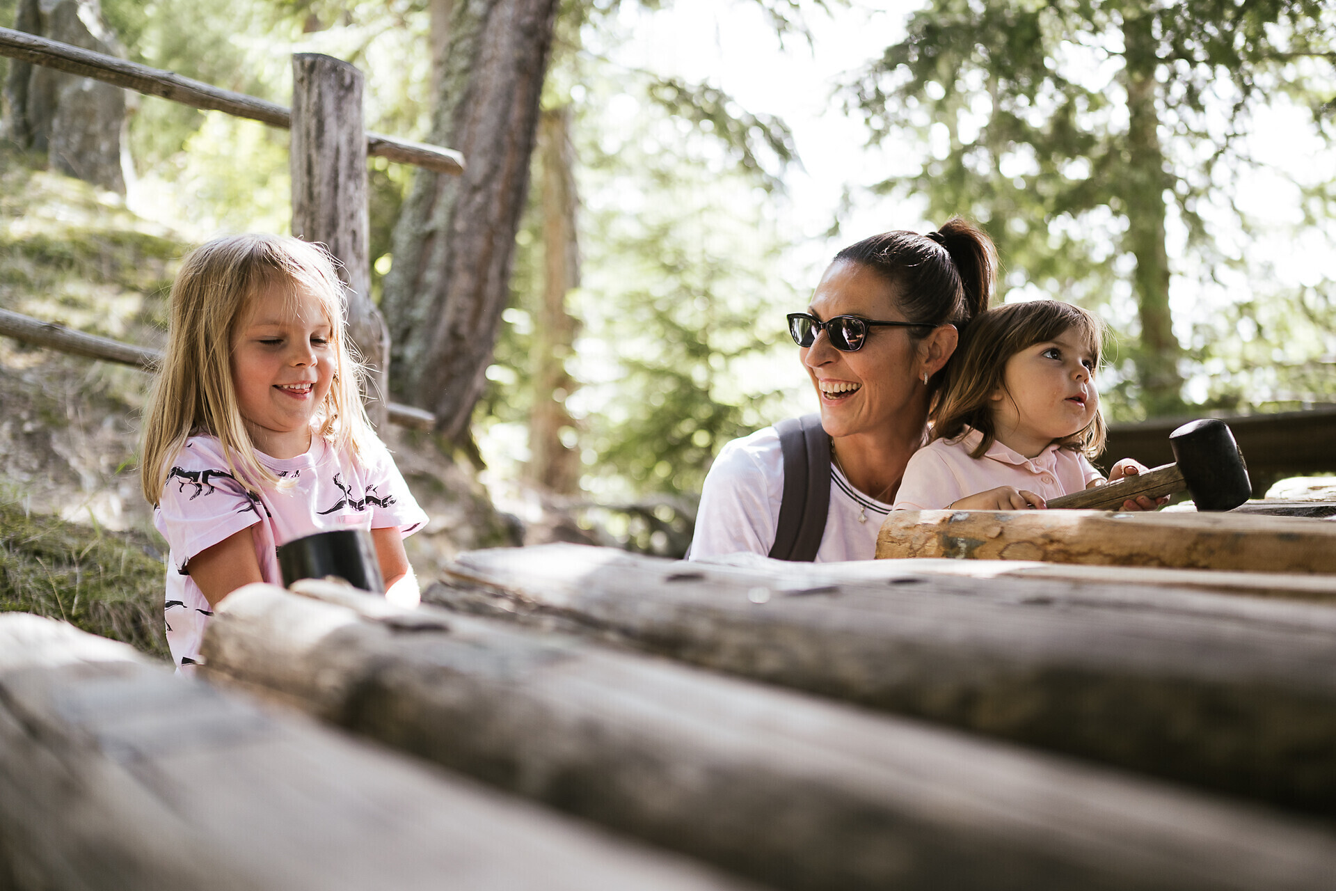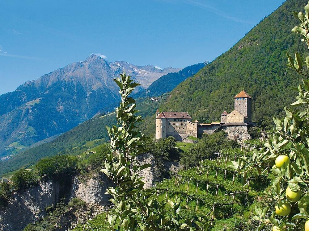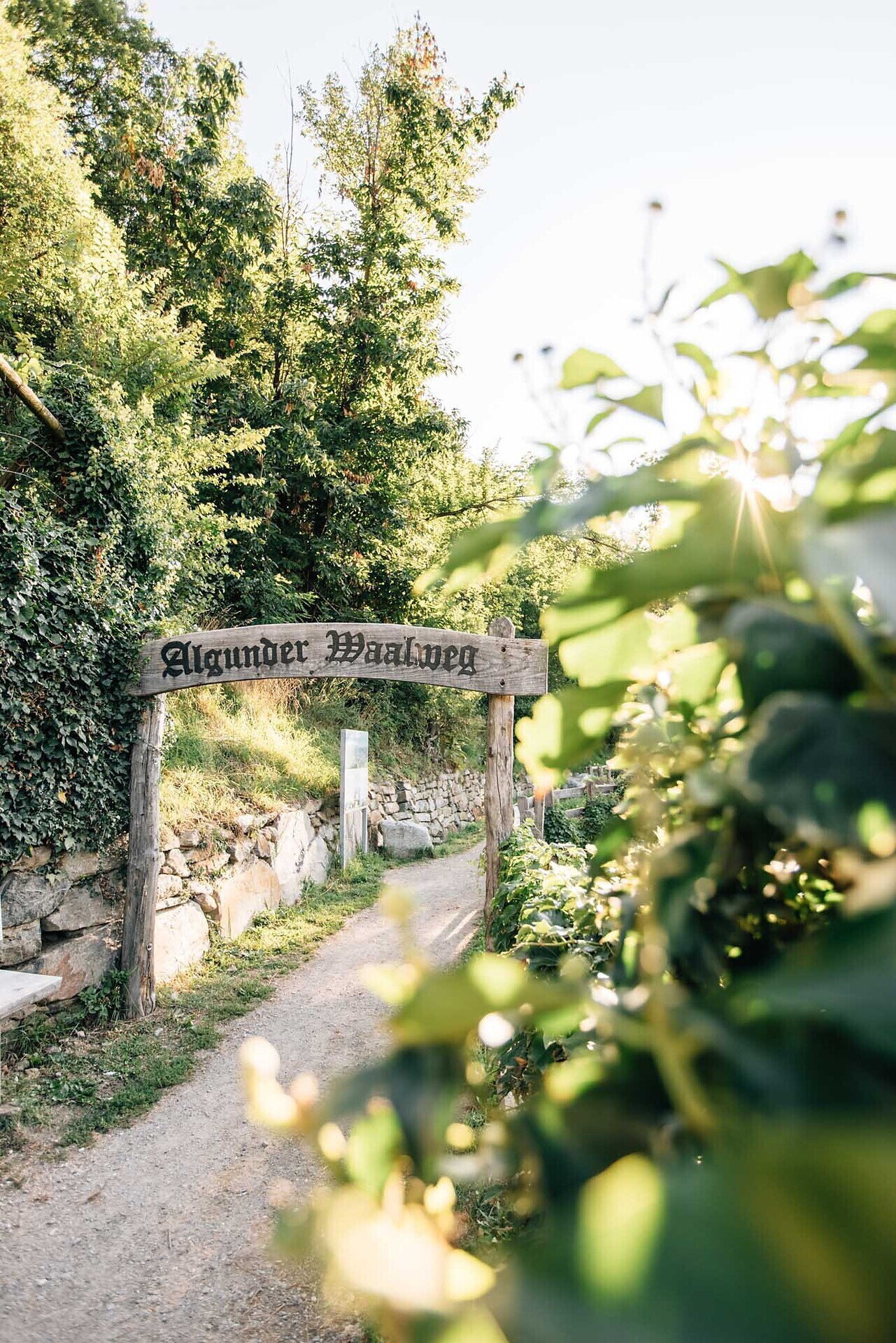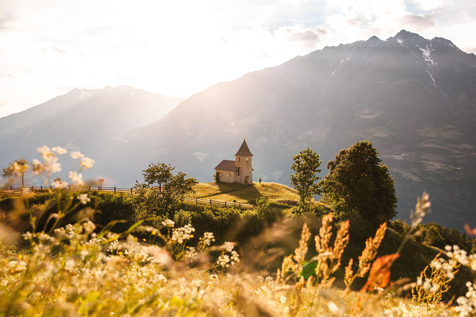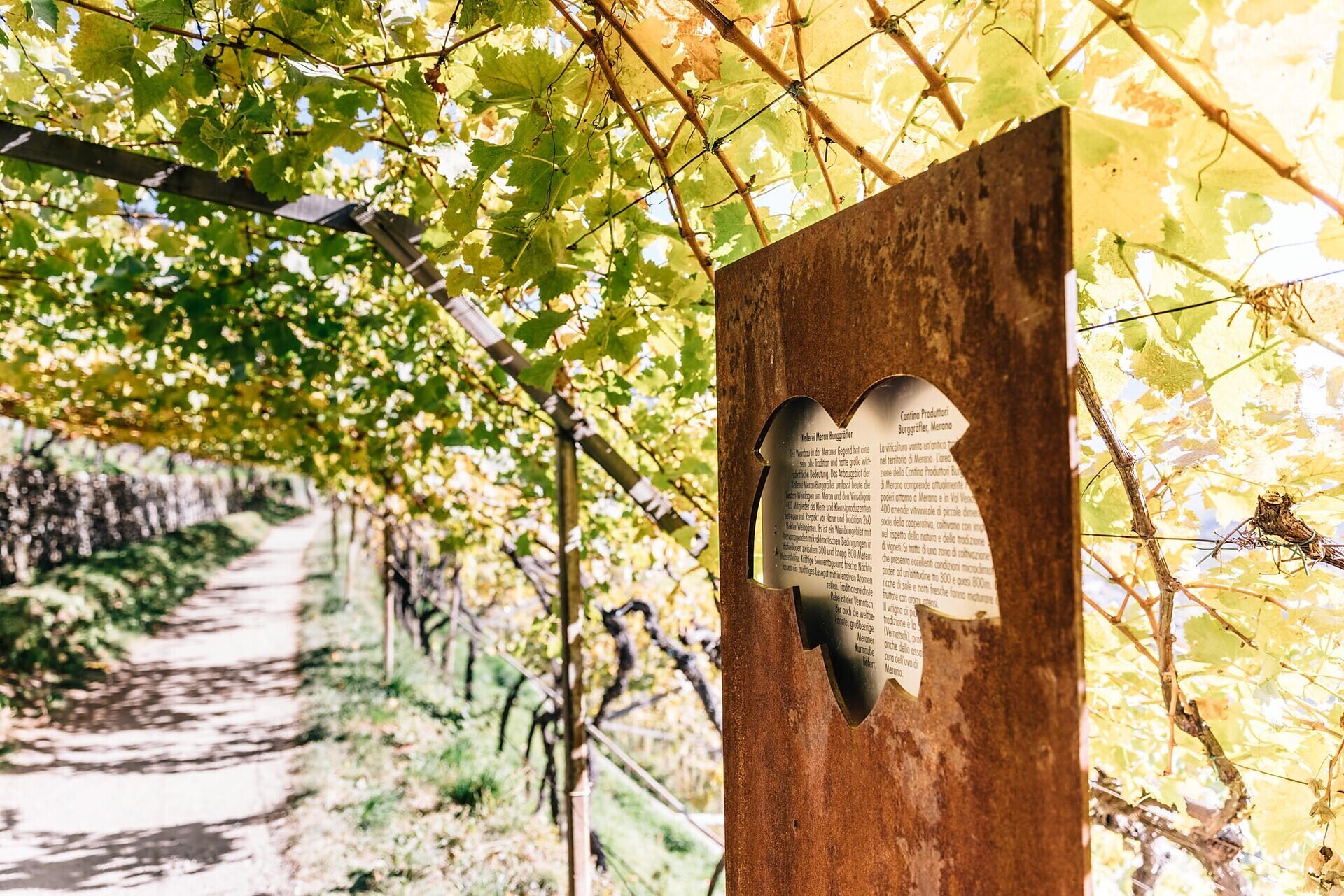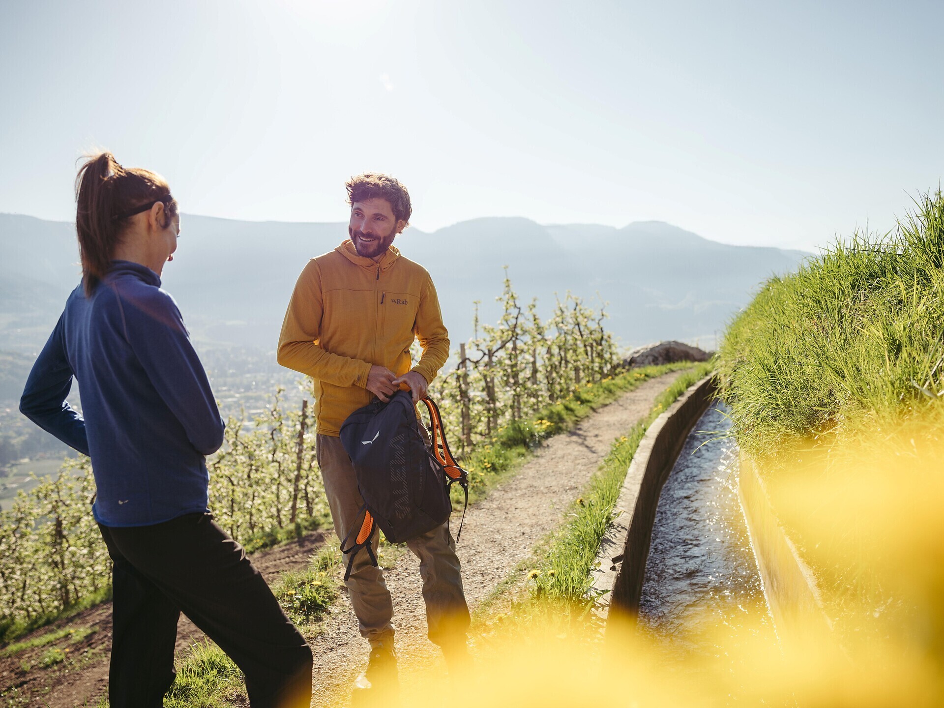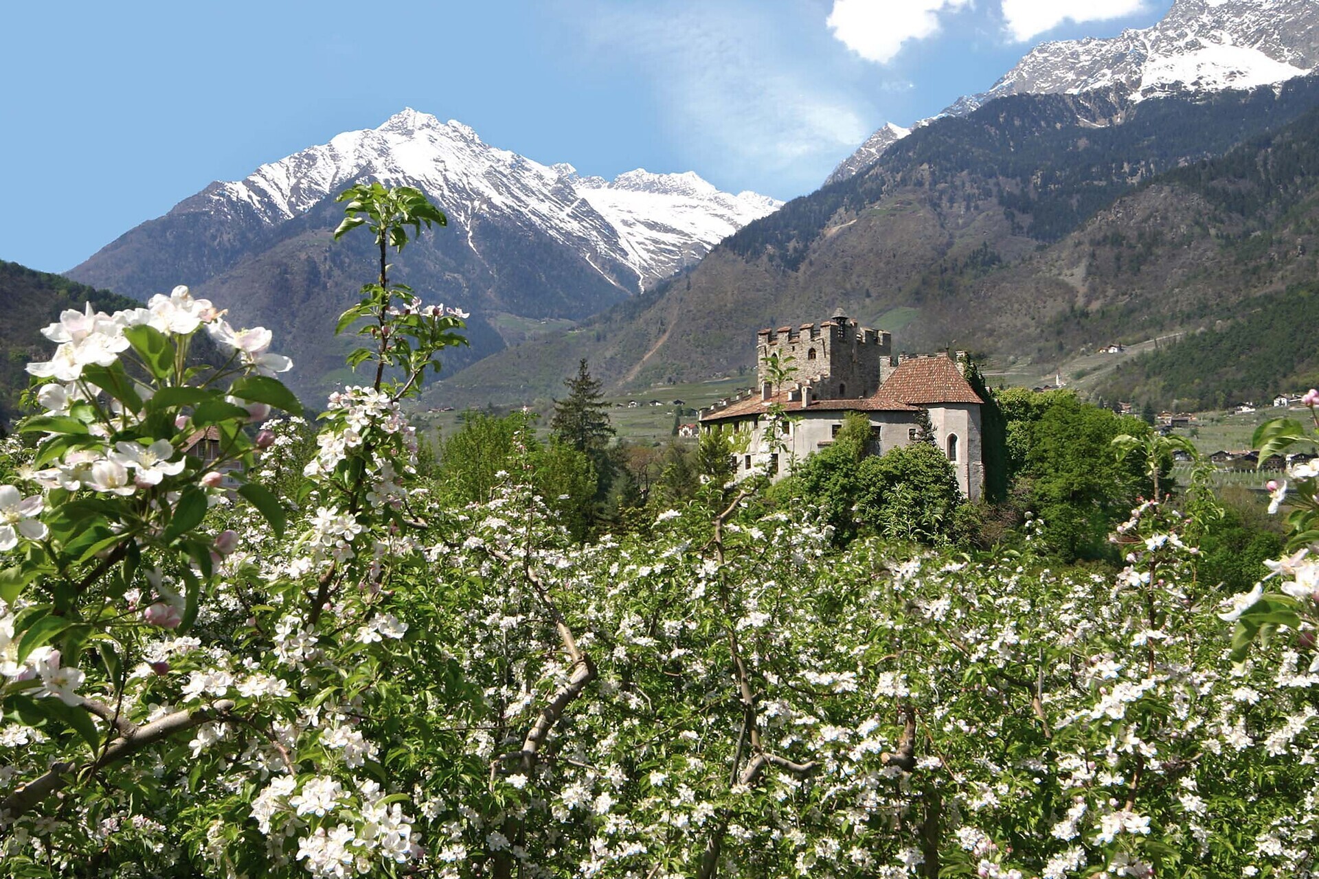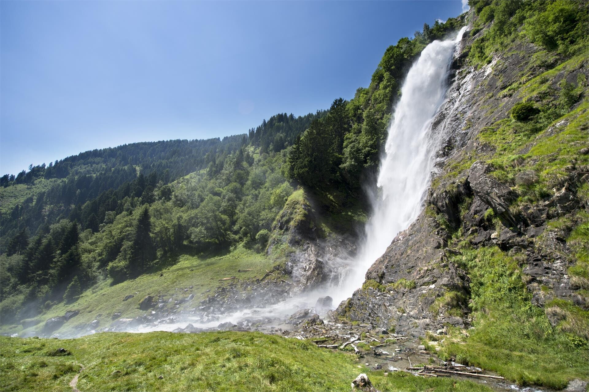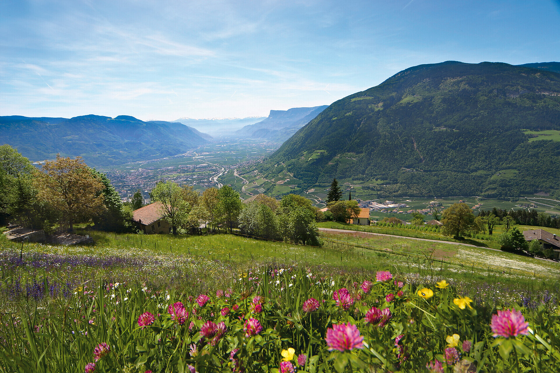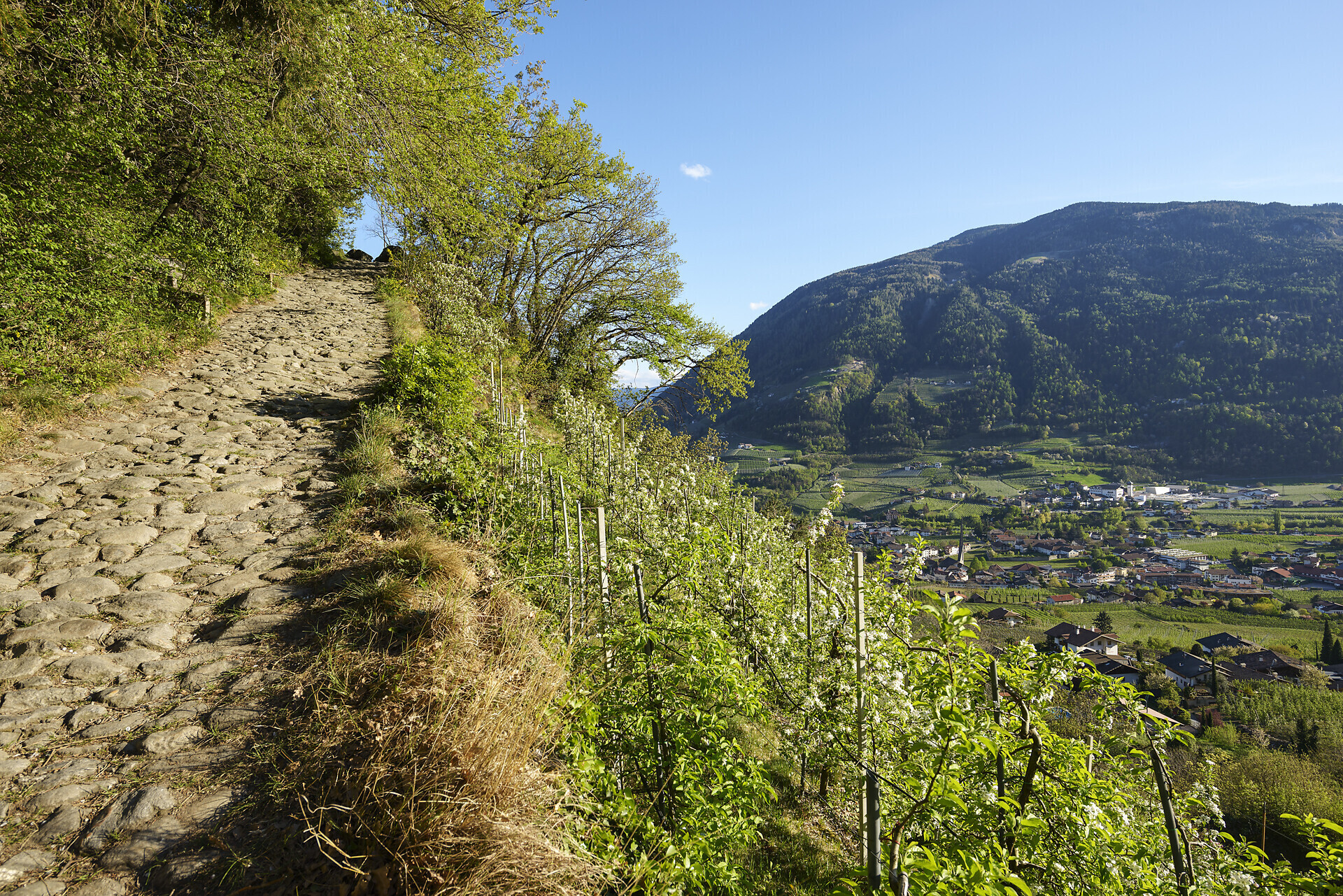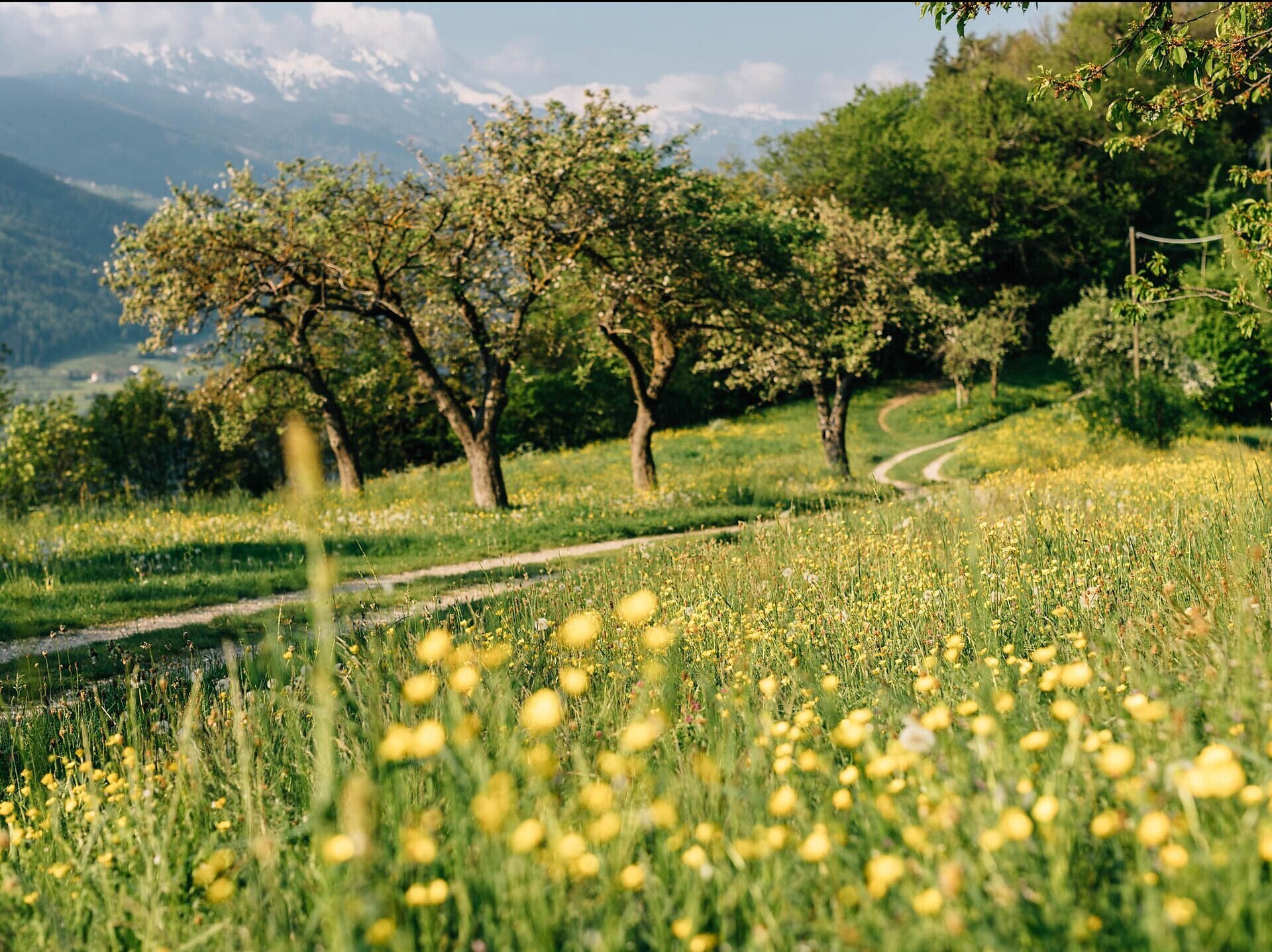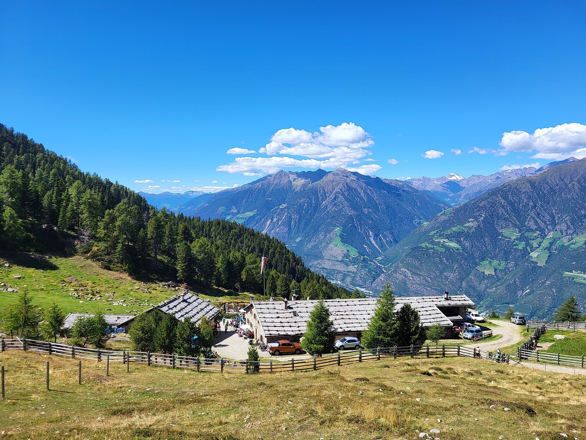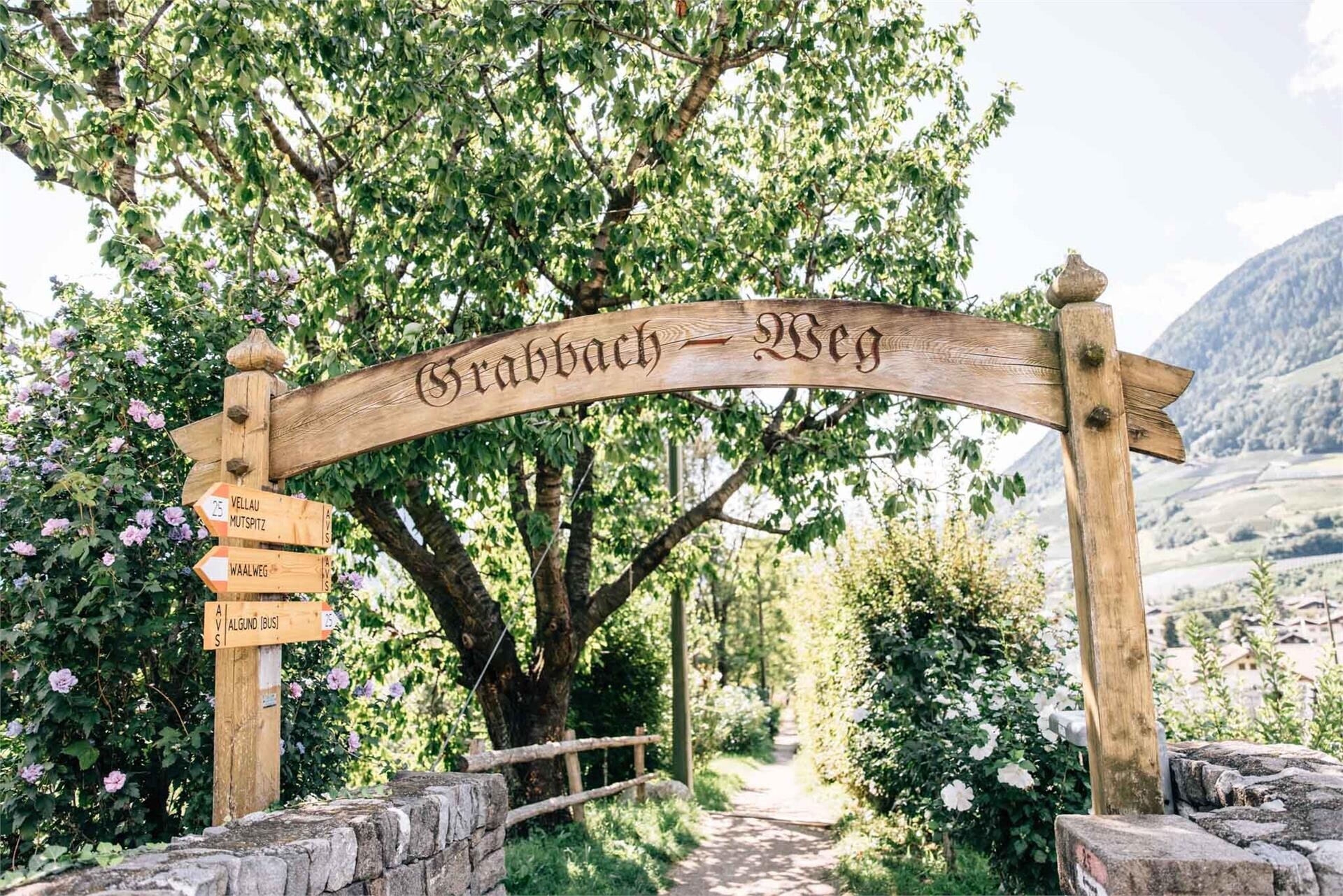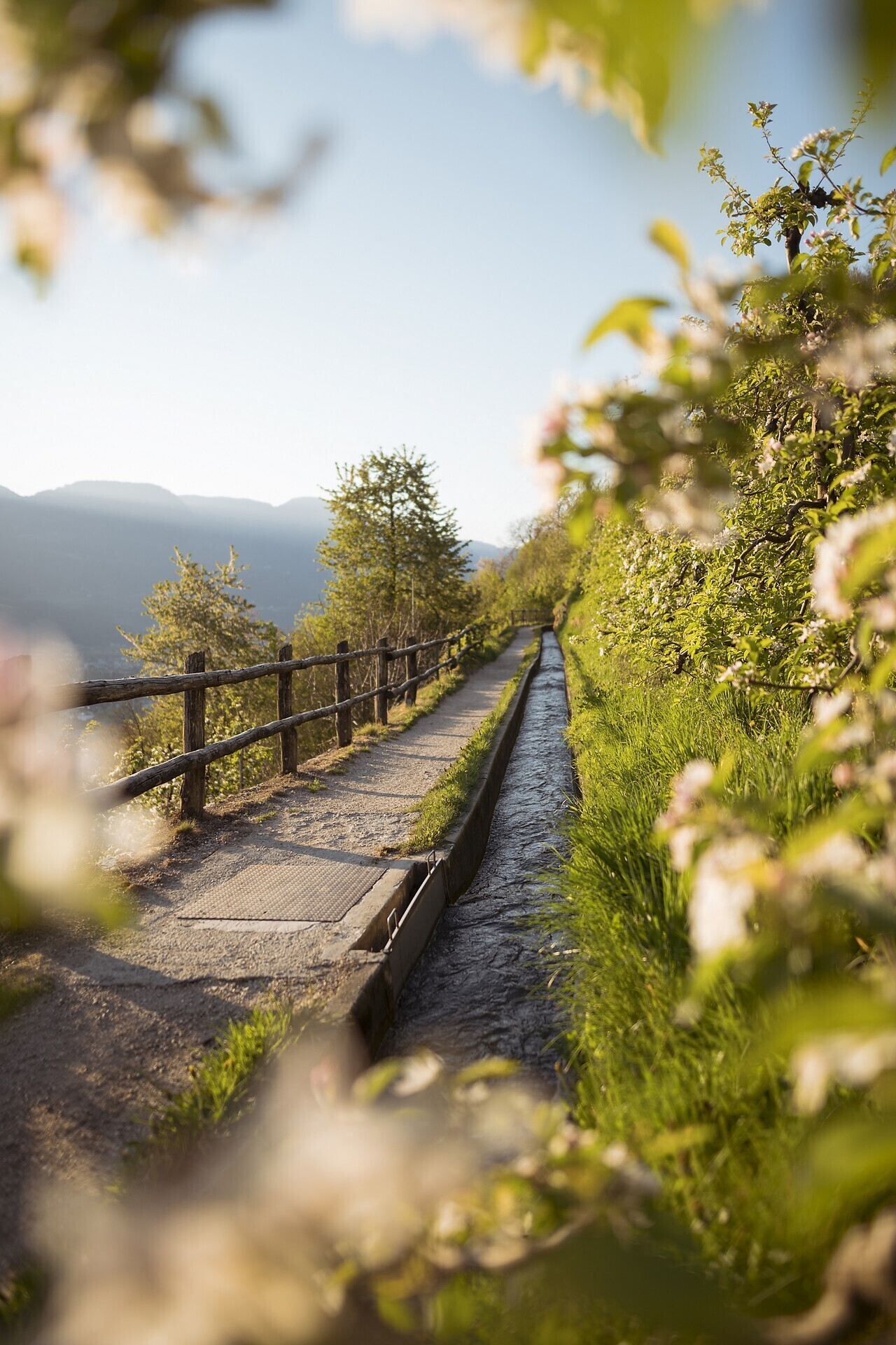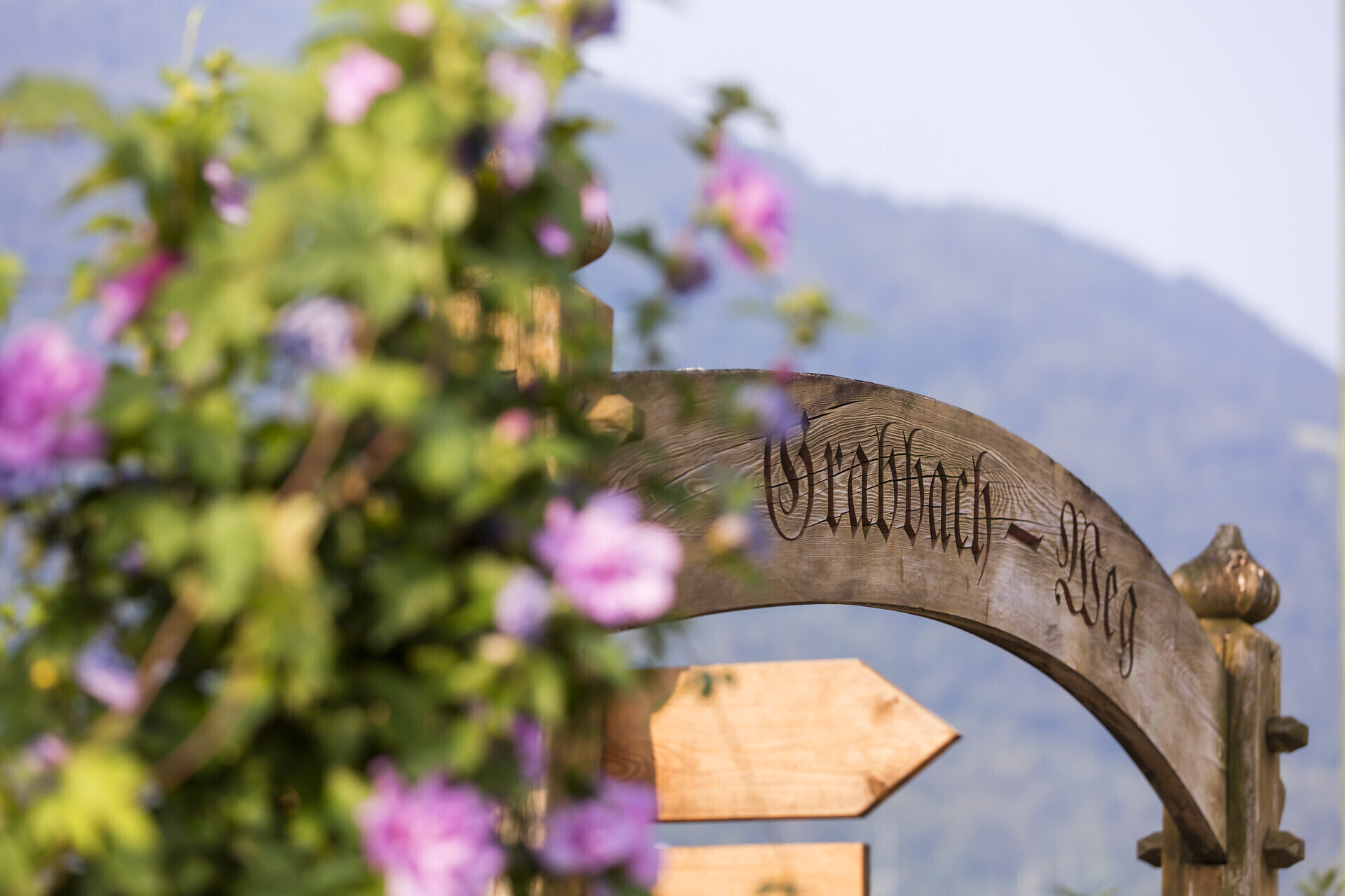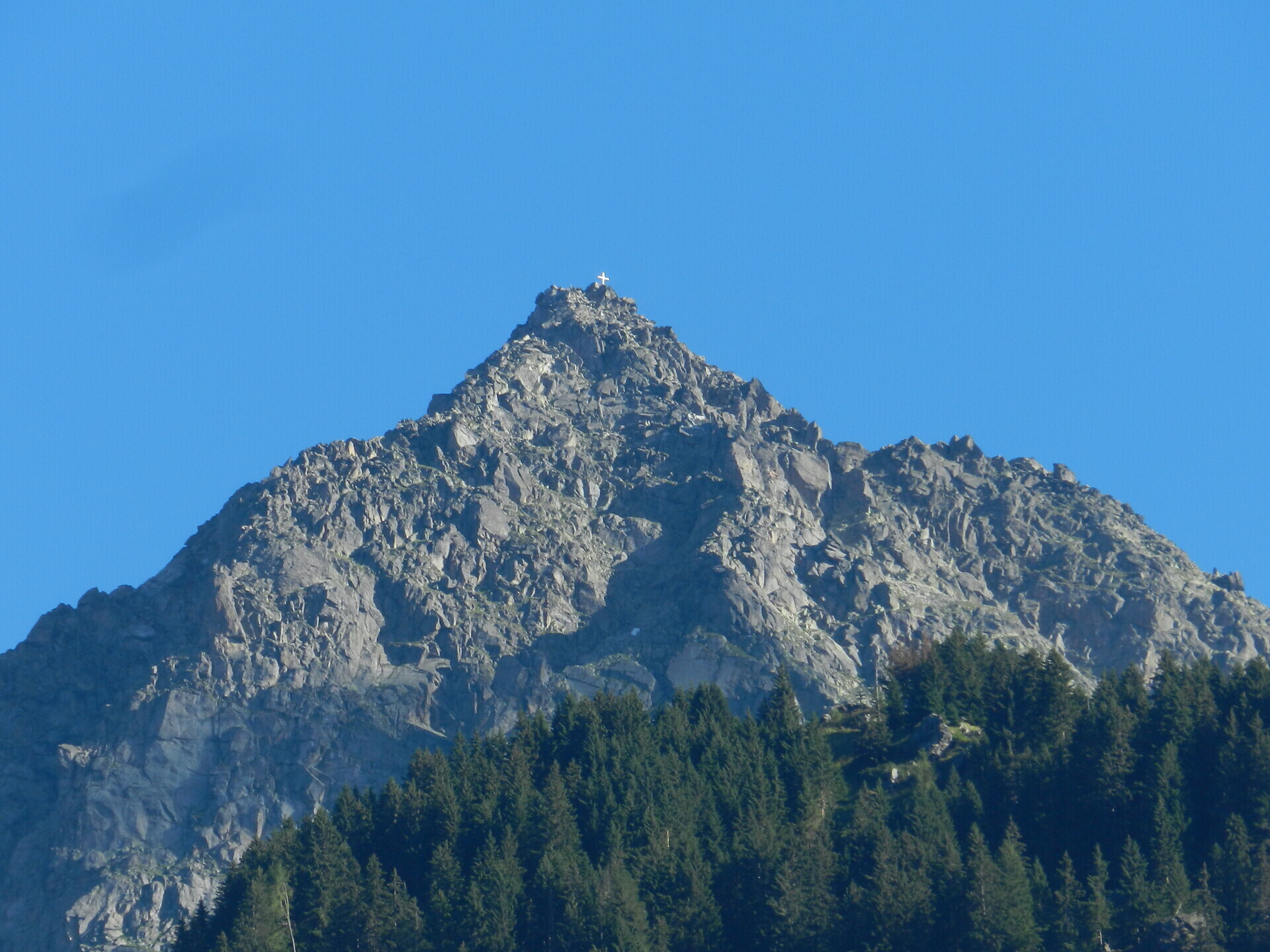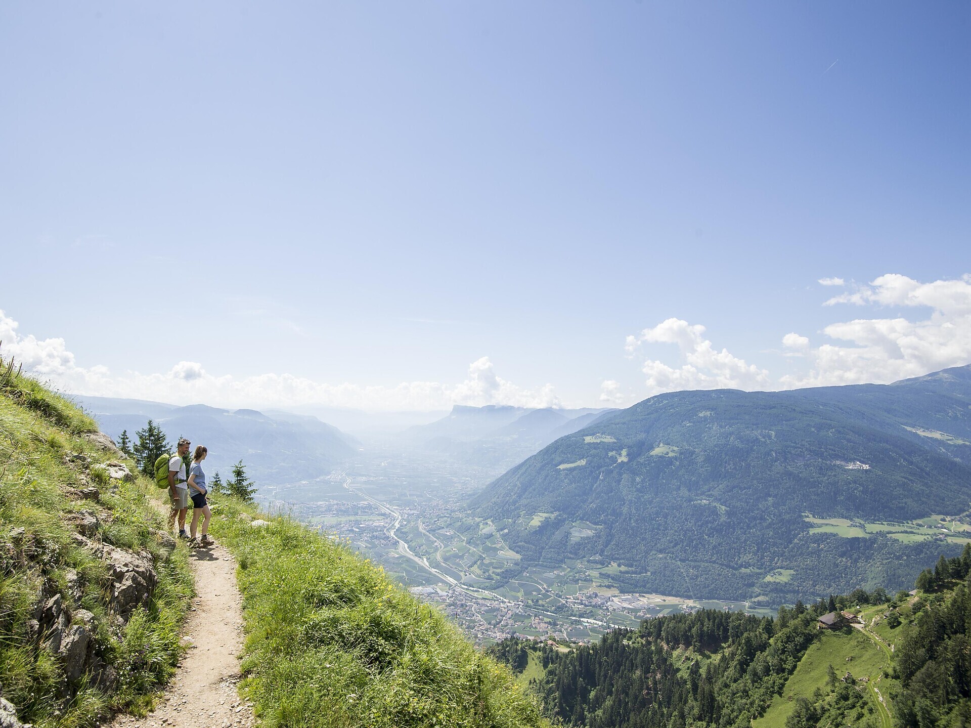


In Algund, your hiking holiday starts right outside the door – among apple orchards, alpine pastures and breathtaking panoramic views. From gentle walking paths like the Algund Waalweg canal trail to challenging summit tours to the Rötelspitze or along the Merano High Mountain Trail: the hiking area around Algund offers variety at all altitudes – from 300 to nearly 3,000 metres.
With many sunny days a year, rustic mountain huts serving South Tyrolean delicacies, the Texel Group Nature Park, guided tours offered by the tourist office, and nostalgic lifts like the gondola basket lift to Leiter Alm hut, Algund is the perfect starting point for days full of nature, enjoyment and movement.
Whether you're a beginner or an experienced mountain hiker – in Algund everyone will find their personal favourite route.
All hikes at a glance
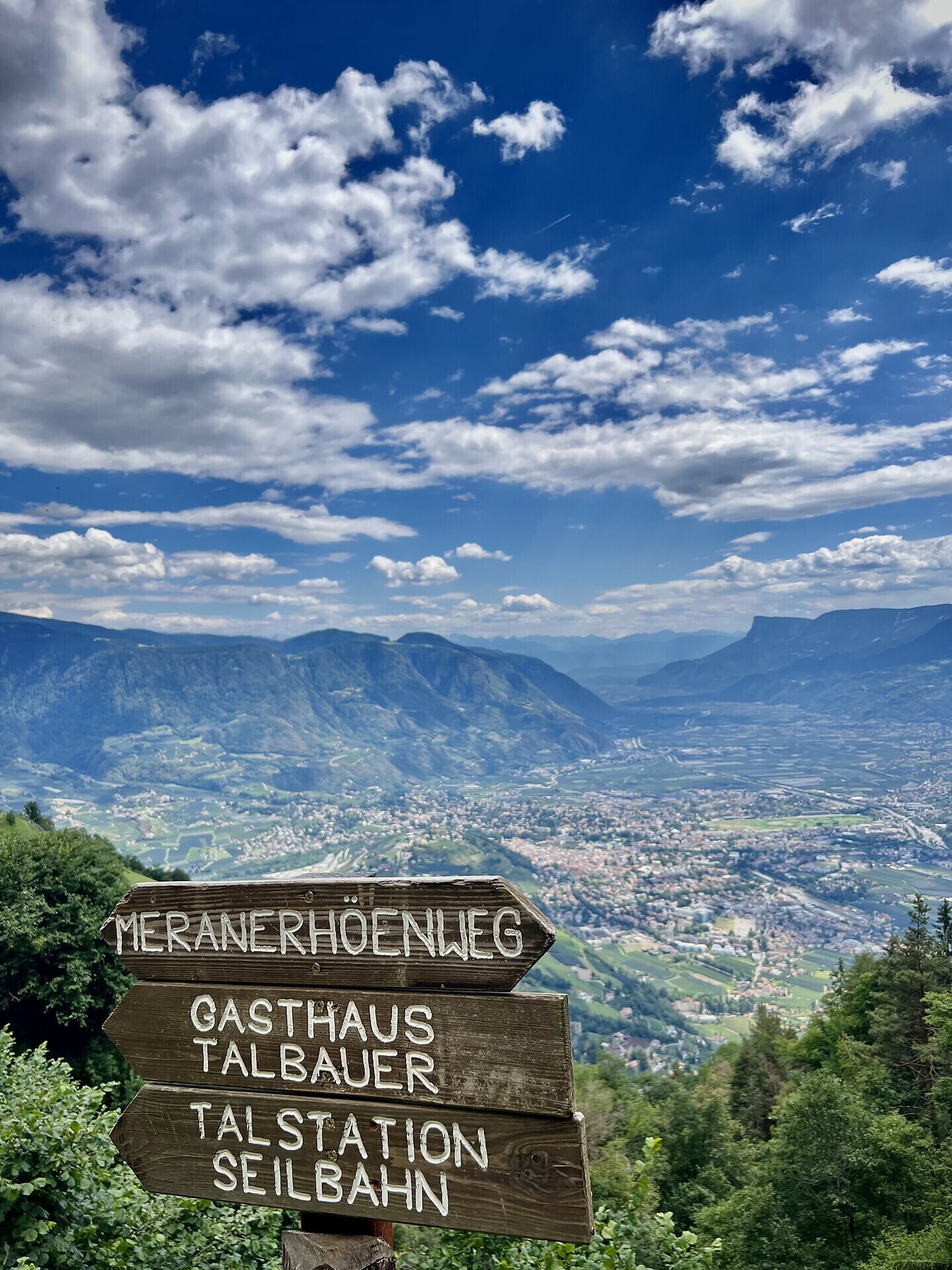
Ready to get going? In our interactive map, you’ll find all hiking tours in and around Algund – including detailed information, difficulty level, elevation profile, and GPX data for easy navigation.
Hike with care – for people, animals and nature
Those who hike in Algund enjoy not only stunning views but also enter sensitive natural areas. To ensure that our trails, meadows and forests remain as unspoiled as they are today, it’s essential to treat nature with respect.
This way, your hiking experience will be not only special, but also sustainable.
Find more helpful tips and rules for mindful hiking in our downloadable hiking guide.
Download flyerWith many sunny days a year, rustic mountain huts serving South Tyrolean delicacies, the Texel Group Nature Park, guided tours offered by the tourist office, and nostalgic lifts like the gondola basket lift to Leiter Alm hut, Algund is the perfect starting point for days full of nature, enjoyment and movement.
Whether you're a beginner or an experienced mountain hiker – in Algund everyone will find their personal favourite route.
All hikes at a glance
Ready to get going? In our interactive map, you’ll find all hiking tours in and around Algund – including detailed information, difficulty level, elevation profile, and GPX data for easy navigation.
Hike with care – for people, animals and nature
Those who hike in Algund enjoy not only stunning views but also enter sensitive natural areas. To ensure that our trails, meadows and forests remain as unspoiled as they are today, it’s essential to treat nature with respect.
This way, your hiking experience will be not only special, but also sustainable.
Find more helpful tips and rules for mindful hiking in our downloadable hiking guide.