
within 5 minutes to merano
Close to the Spa Town

The Spronser lakes are located at the centre of the Texel Mountain Nature Park, one of the largest high mountain lake districts in the entire Alps. They are filled with melted snow water and are a real highlight of the Texel Group Nature Park. Their clear waters reflect the surrounding landscape, which makes them a popular place for walkers and hikers. The ten little lakes, which lie at an altitude of between 2,117 mt. and 2,589 mt., are the highest mountain lakes in South Tyrol.
The lakes include the Kasersee 2,117 mt., Pfitschersee 2,126 mt., Mückensee 2,330 mt., Grünsee 2.338 mt., Langsee 2,377 mt., Schiefersee 2,501 mt., Kesselsee 2,512 mt., Schwarzsee 2,589 mt. and the two Milchseen at 2,540 mt.
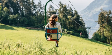
The starting point of this tour is Pfelders/Plan (1,628 m) in the Passeiertal valley. Take trail no. 6 up to the Faltschnal Alm mountain hut, cross the Faltschnaltal valley and continue until the Faltschnaljöchl pass and then until the Spronser Joch pass (2,581 m), the highest point of the tour with a view of (almost) all the Spronser Seen lakes. Descend along trail no. 6 past the crystal clear, colorful mountain lakes down to the Oberkaser Alm mountain hut (2,314 m). Trail no. 22 then leads past the Kaserlacke and the Pfitscherlacke lakes until the junction with trail no. 25B that you follow up until the Taufenscharte pass (about 100 metres of altitude difference). Descend along the rather steep trail with serpentines until you meet trail no. 24 (Meraner Höhenweg high alpine trail) and follow it until the Leiter Alm mountain hut, where you take the gondola basket lift to Vellau/Velloi and then the chair lift or bus back to Algund/Lagundo.
Take bus 213 or the Citybus from Algund to the Merano Railway Station; Bus 240 to Pfelders/Plan.
Take the Brenner motorway until you get to Bozen Süd, then the MEBO clearway until the exit for Meran Süd. Then, follow the signage for Jaufenpass / Timmelspass / Passeiertal via Riffian-St. Martin-St. Leonhard, Moos until you reach Pfelders in Passeier.
Public parking (Praderplatz square) in front of the Merano Railway Station
ATTENTION: prohibited on tuesdays and fridays


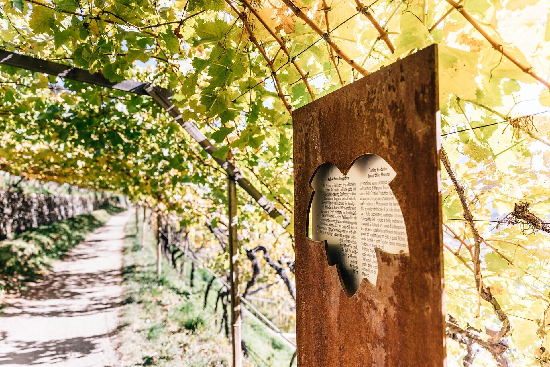
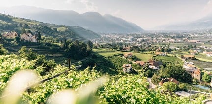
The vineyards along the Algunder Waal and the Schlundensteinweg are a special example of a cultural landscape shaped by the diligence of farmers. On the Algund Wine Trail, the history of the cultural vineyard landscape comes to life and is ...

High above Partschins/Parcines sits the well-known local mountain of Partschins/Parcines, the Zielspitze summit!
The three-thousand-metre peak is the first peak in ...