
within 5 minutes to merano
Close to the Spa Town

Follow the Grabbachweg trail until Café Konrad and continue along path no. 25A up to the Schlundenstein, a large rock from the Ice Age. From there take path no. 21 that intersects with the road to Vellau/Velloi. Continue along the beautiful old Oberplarser Waalweg canal trail (now flowing underground) until the Saxner Mühle mill. Cross the small bridge to Parcines, pass by the Niedermair restaurant and take the Vertigenstraße road to Partschins/Parcines. Return to the Töllgraben trench along the Franz-von-Goldegg road, continue through orchards to Oberplars/Plars di Sopra and follow the signs to return to the centre of Algund/Lagundo.
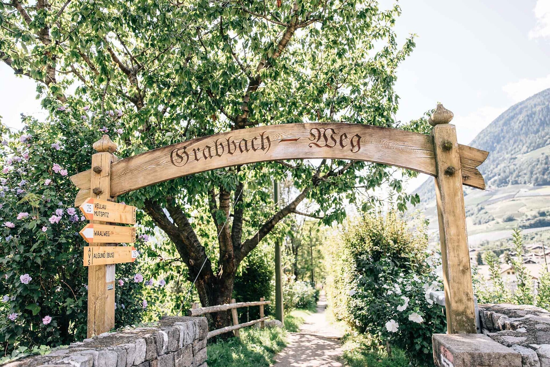
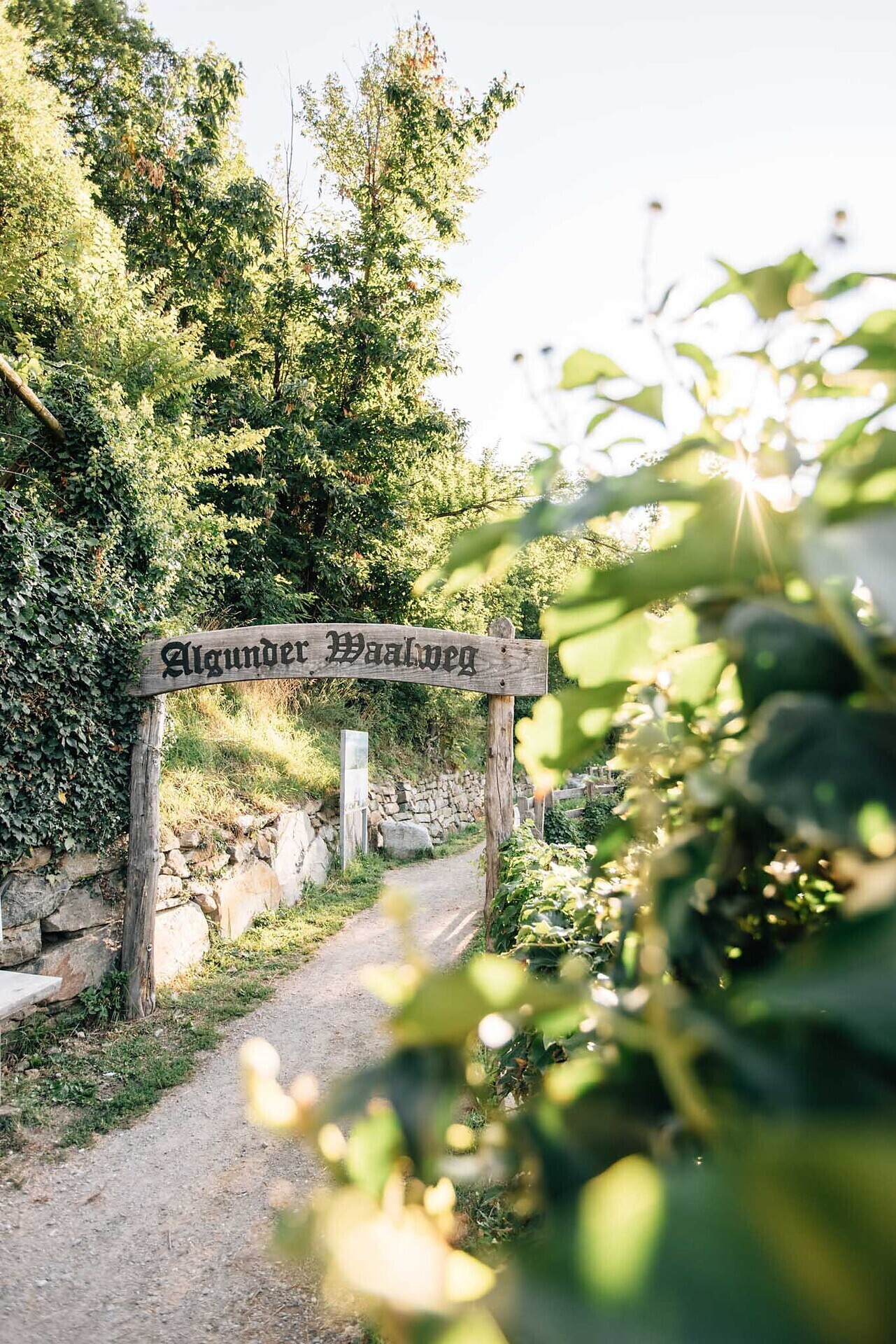
Waalwege are paths along the ancient irrigation channels. The Algunder Waalweg Trail is split into two parts with a lenght of 5 to 6 km. The hike leads along an historical irrigation canal. The canal trail is almost flat. It is therefore ideal ...
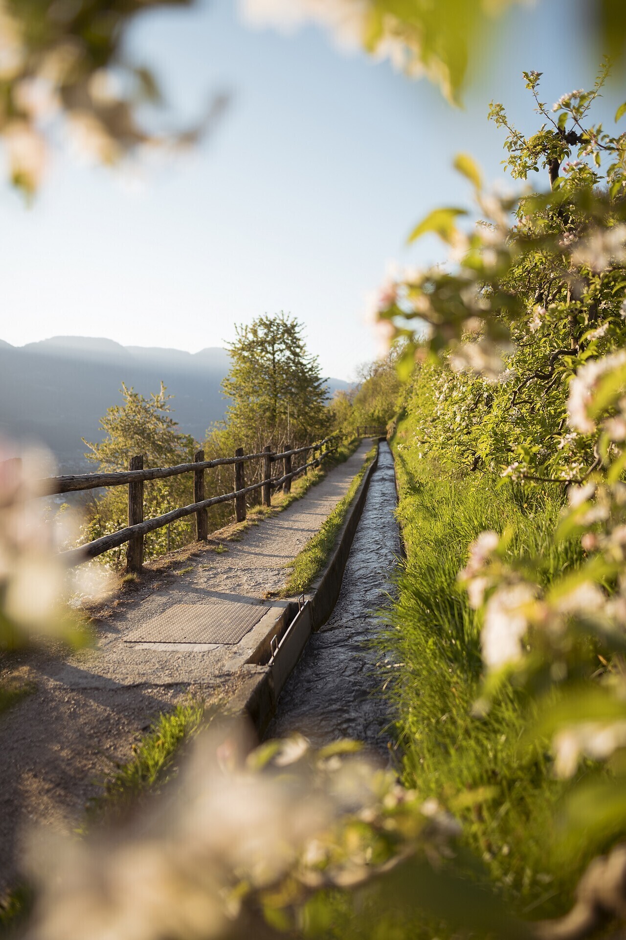
Twelve kilometers long, the Marlinger Waalweg trail is a popular hiking trail which runs along the former irrigation channels, the longest of its kind in South Tyrol. Starting at the Töllbrücke bridge, the 250 year-old path gently ascends through ...

The newly-opened Knottnkino³ circuit trail connects the three red porphyry rocks of Vöran. Starting from the Vöran-Burgstall upper cableway station, the trail leads to the three panoramic landmarks of Vöran: ...