

within 5 minutes to merano
Close to the Spa Town

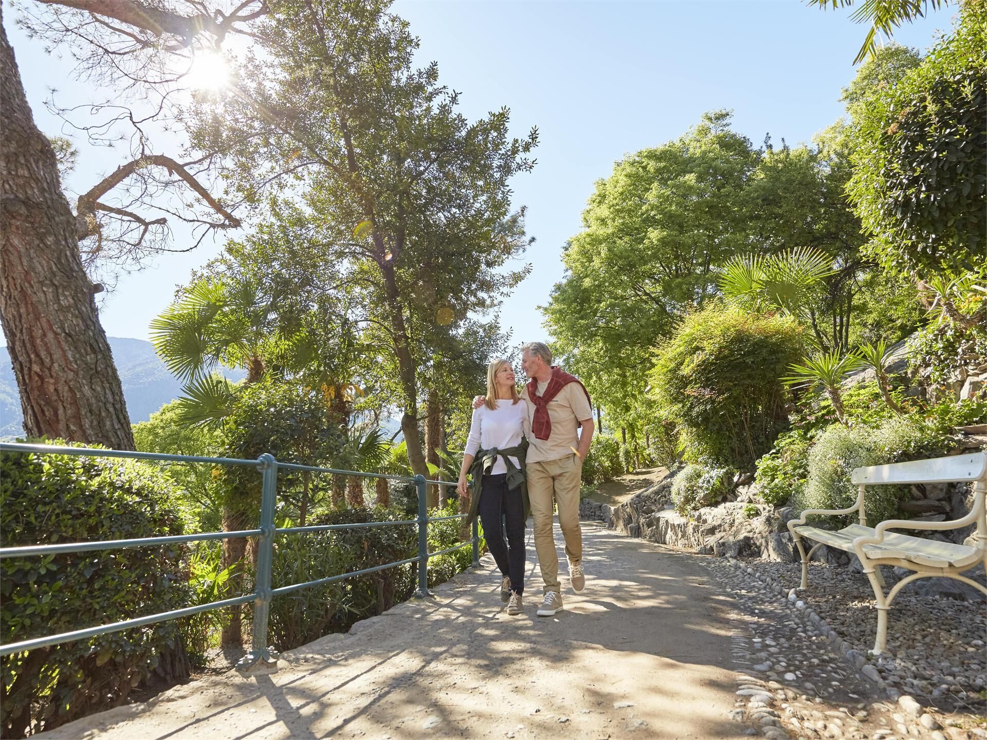
Franz Tappeiner, a doctor and medical researcher from Val Venosta who was a passionate proponent of tourism in Merano, created the promenade and donated it to the city. The four-kilometre-long path splits off from the Gilf Promenade and follows the curve of Monte Benedetto until it reaches Quarazze. In addition to typical local vegetation, cork oak, eucalyptus, lotus, pine, various species of palms including Chinese palms, bamboo, cactus, agave, magnolias and olive trees are planted along the path.
There are numerous access points from the town centre:
• the steps leading up from behind the Duomo (main cathedral) along the road that leads to Dorf Tyrol
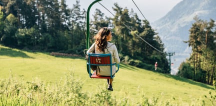
• from Via Galilei near the chairlift to Dorf Tyrol
• near the Silvana hill on Via Verdi - CLOSED UNTIL FURTHER NOTICE
• from the Gilf-Promenade past the Gunppowder Tower
• on the orographic right side of the Ponte Romano
Various inns and restaurants along the path.
Please note that the Tappeinerweg is exclusively a pedestrian zone. Riding bicycles or other vehicles is prohibited.
Bicycle parking spaces are located in Freiheitsstraße at the junction with Sparkassenstraße and in Galileistraße in front of the town hall. Take care not to park bicycles and e-rollers carelessly. They can pose a danger to blind and visually impaired people as they create obstacles to safely walking along paths and finding entrances. People in wheelchairs and parents with pushchairs can also be hindered by carelessly parked bicycles. Please use the bicycle parking spaces provided.
Please note: Sparkassenstraße and Galileistraße up to the Princes Castle are exclusively pedestrian zones from 10 am to 6.30 pm - bicycles must be pushed.
During the summer months, it's highly recommended to start your outdoor activities early in the morning. Mornings typically offer pleasant temperatures, allowing you to fully enjoy your excursion without the discomfort of intense heat. The air is crisp and invigorating, enhancing your senses and creating an ideal setting for immersing yourself in nature, thereby ensuring a more enjoyable and safer experience.
Moreover, the early hours boast fewer crowds, providing an opportunity to appreciate nature in tranquil serenity and fostering a deeper connection with the surroundings.
Extra tip: Enjoy an evening stroll along the floodlit Tappeinerweg trail - not only because of the more pleasant summer temperatures, but also because of the spectacular views. The path and access points are illuminated until midnight, making it possible to walk safely and comfortably after dark and enjoy the beauty of the surroundings. The Tappeinerweg is illuminated between the serpentines of the Galileistraße and the Kralingerweg. The illuminated access points include the Kralingerweg near the Steinernen Steg and the Tirolersteig behind the parish church of St Nicholas. Please note that both access points are not barrier-free.




The newly-opened Knottnkino³ circuit trail connects the three red porphyry rocks of Vöran. Starting from the Vöran-Burgstall upper cableway station, the trail leads to the three panoramic landmarks of Vöran: ...