
within 5 minutes to merano
Close to the Spa Town
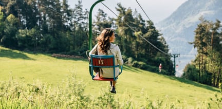
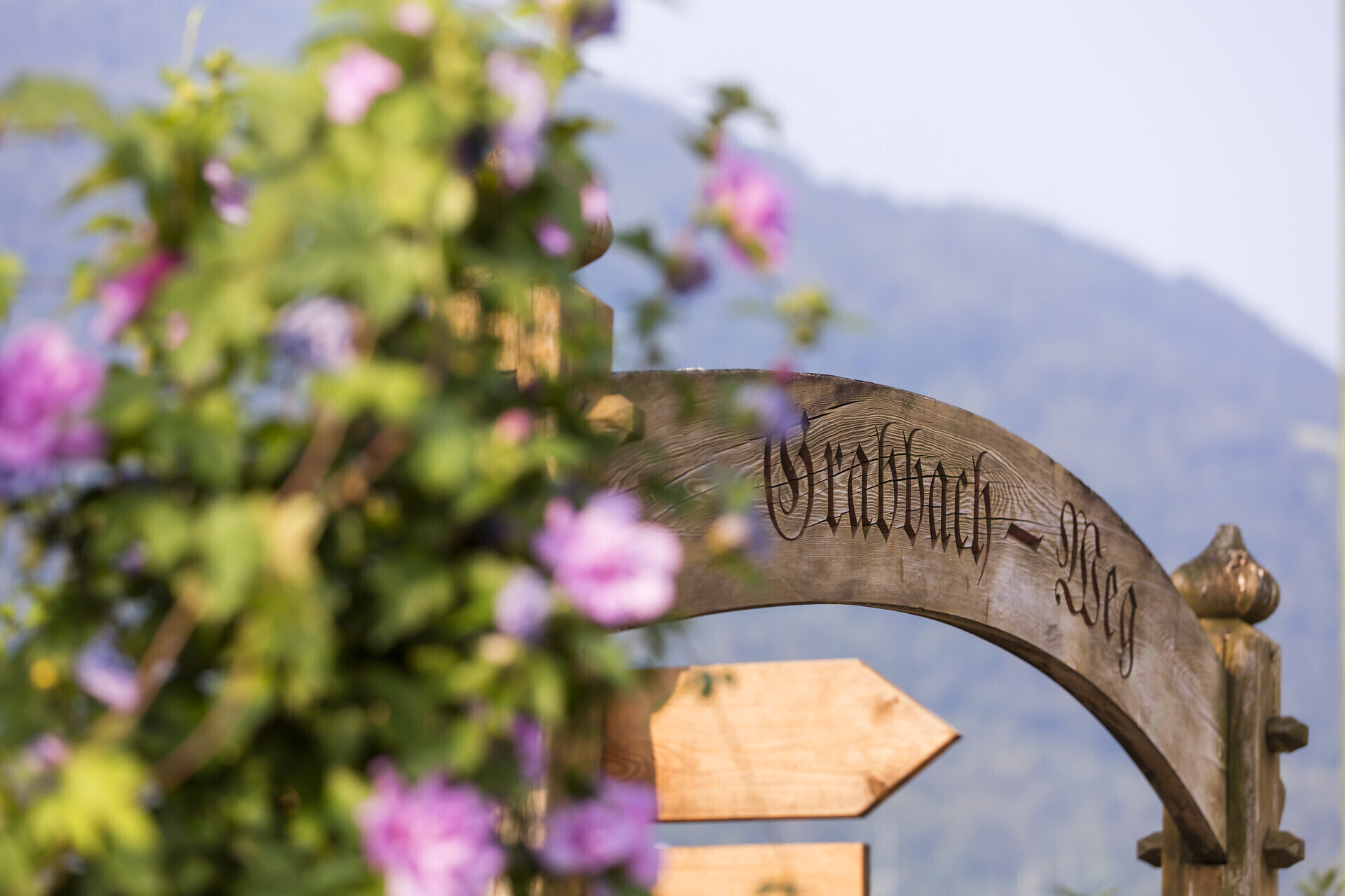
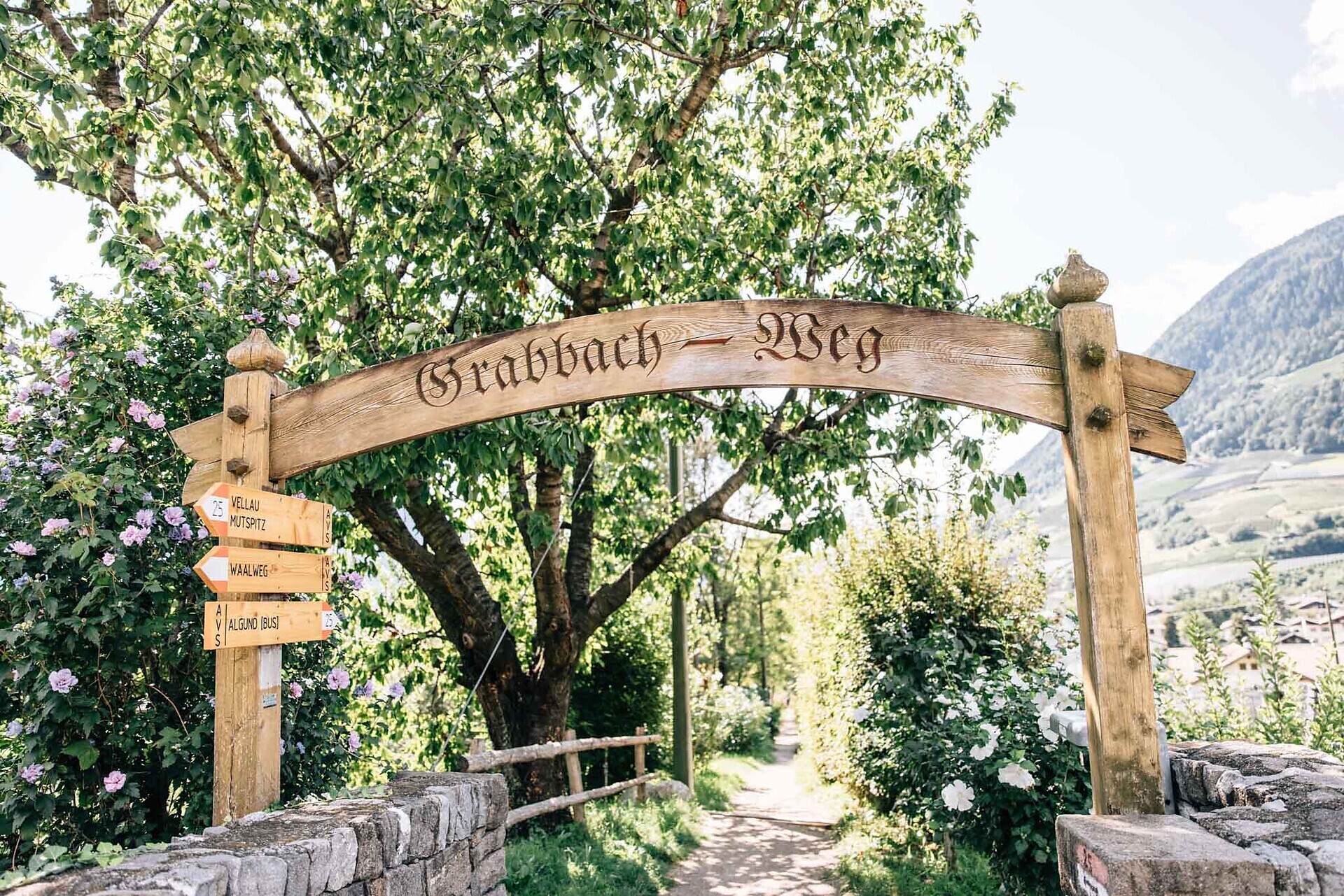
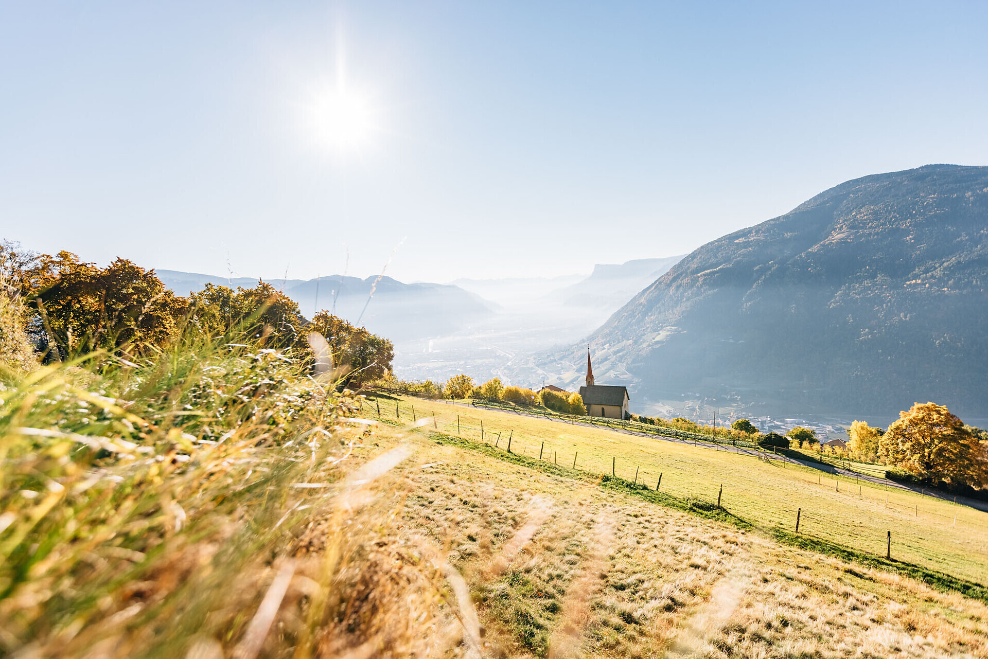
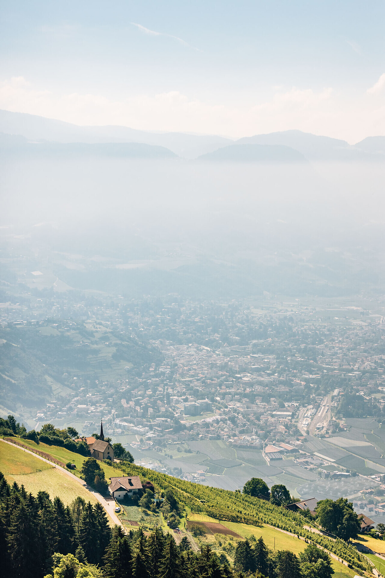
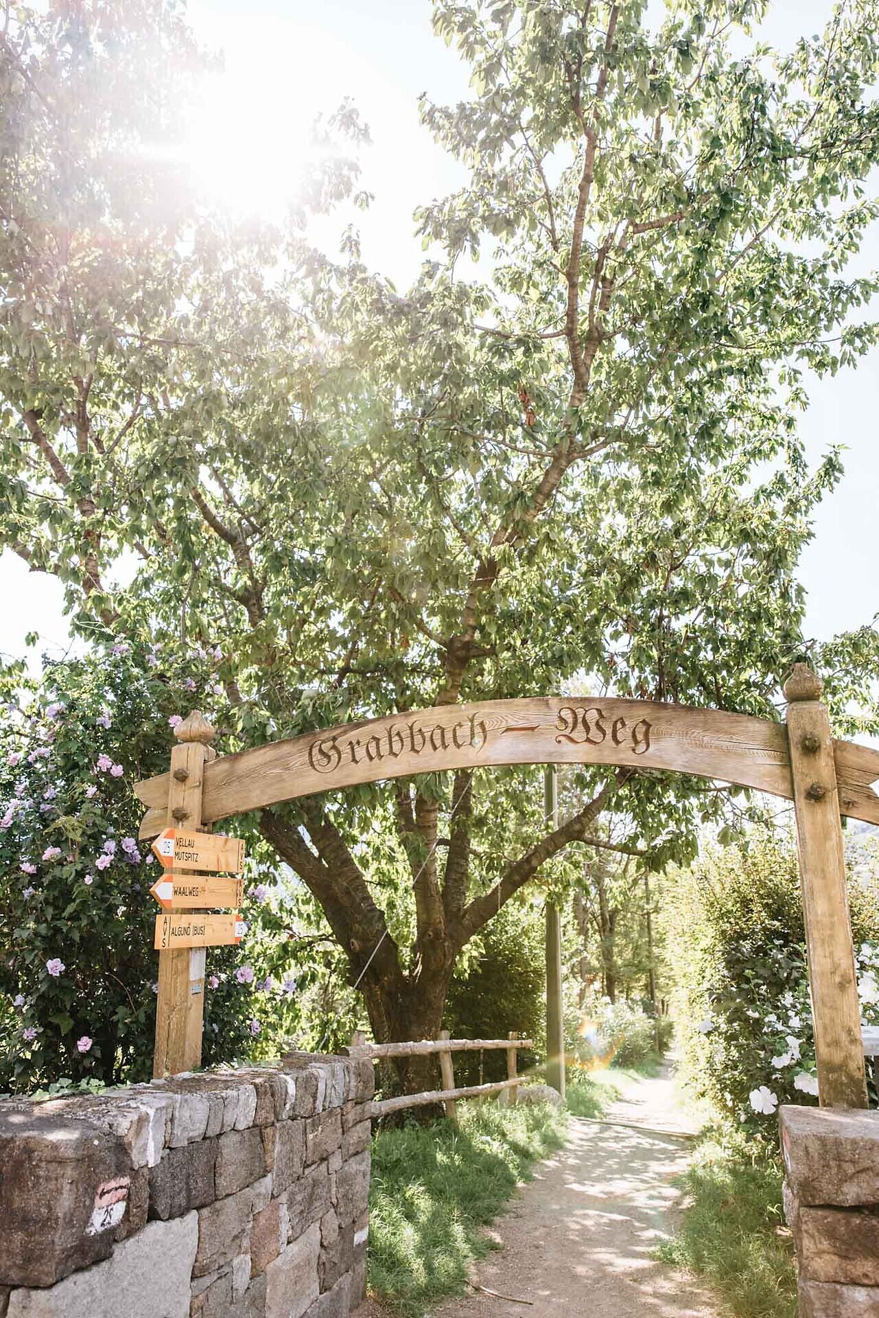
The hike starts opposite the cemetery in Algund/Lagundo and takes you along trail no. 25B to the Grabbach stream. Follow the Grabbachweg trail no. 25 up to the Blumenthalerhof farm and then the bends to the Gasthaus Ebeneich restaurant. Continue through orchards to the Birbamegg Hof farm and finally through the forest until Vellau/Velloi with the idyllic mountain church, the highest point of the hike. For the descent, go westwards to the mountain station of the chairlift to Vellau/Velloi and then down along the Saxnerweg trail until you reach the Oberplars Waalweg canal trail no. 21B. Continue eastwards along the canal trail, cross the road to Vellau/Velloi and follow trail no. 21 past the Schlundenstein, a large rock from the Ice Age, until the Leiter am Waal restaurant. Proceed eastwards along the Algund Waalweg canal trail until Café Konrad. Then take the Burgweg trail no. 20 to reach the valley station of the chairlift to Vellau/Velloi in Mitterplars/Plars di Mezzo and descend to the centre of Algund/Lagundo.
With the bus 235 from Vellau to AlgundTake the Highway Bozen/Meran to Algund.
Parking in the center of Algund, opposite the town hall (at additional costs).

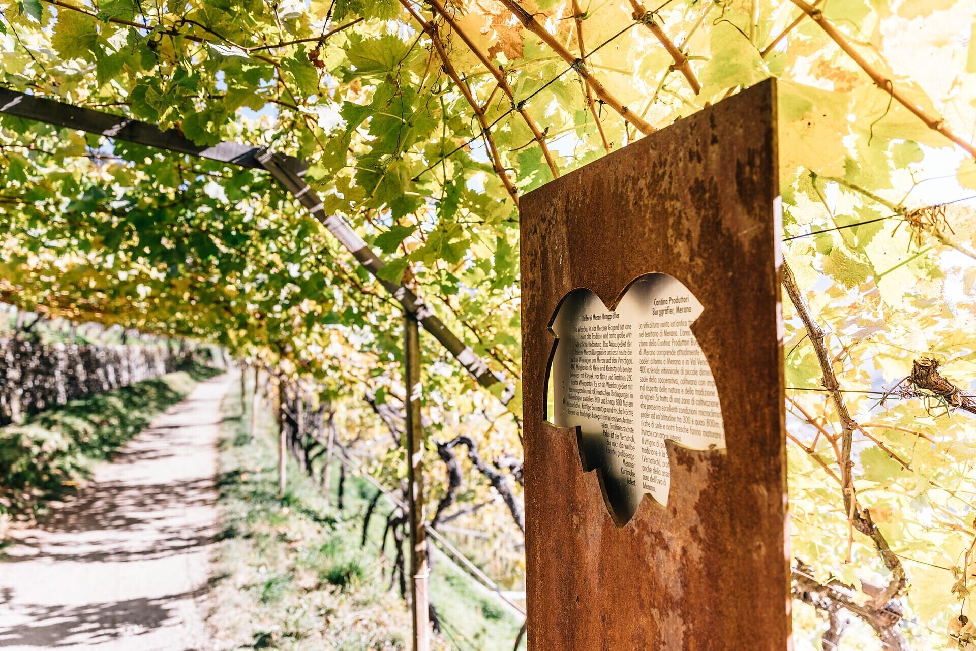
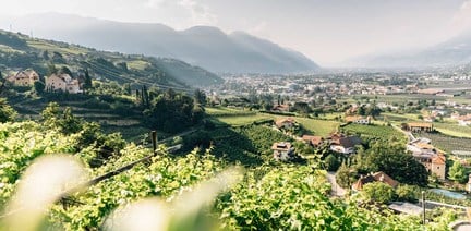
The vineyards along the Algunder Waal and the Schlundensteinweg are a special example of a cultural landscape shaped by the diligence of farmers. On the Algund Wine Trail, the history of the cultural vineyard landscape comes to life and is ...

The Spronser lakes are located at the centre of the Texel Mountain Nature Park, one of the largest high mountain lake districts in the entire Alps. They are filled with melted snow water and are a real highlight of the Texel Group Nature Park ...

High above Partschins/Parcines sits the well-known local mountain of Partschins/Parcines, the Zielspitze summit!
The three-thousand-metre peak is the first peak in ...