Nature & Adventure path in Marling
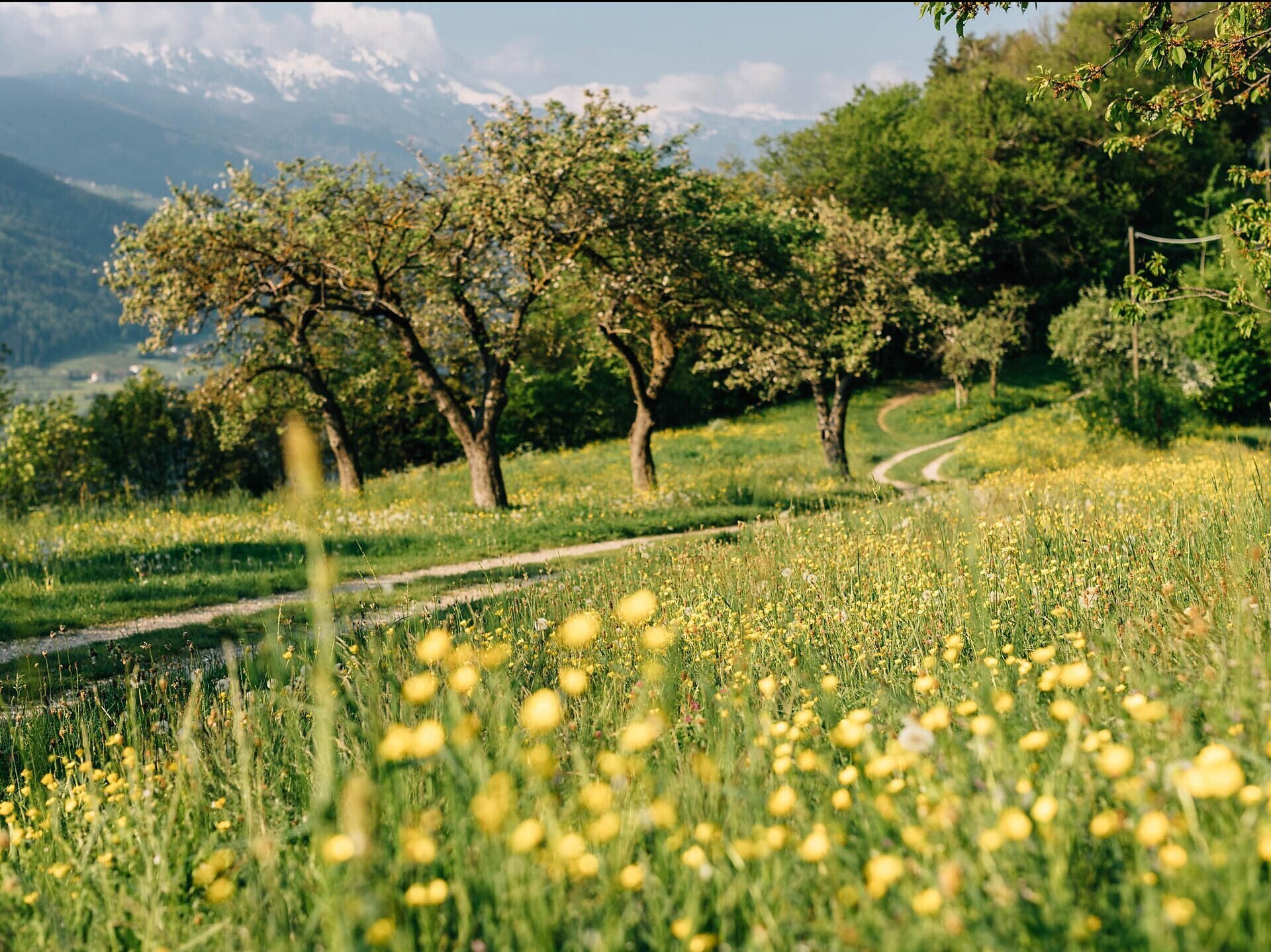
The Eichhörnchenweg trail is about 1 km long and offers 23 nature and adventure stations easily accessible for the entire family.
The Eichhörnchenweg trail trail in Marling/Marlengo functions as an educational nature trail and is identified with the emblem of a squirrel. The one km family-friendly circuit has 23 interactive stations which allow visitors to learn about the local environment while also experiencing adventures for themselves. The circuit is designed as an educational nature trail comprised of games, sports and relaxation, and to help hikers learn about forest life and wood in the process. A high rope facility within the Natur- & Erlebnisweg trail and a natural laboratory is fun for all age groups, encouraging visitors to play and experiment with wood.
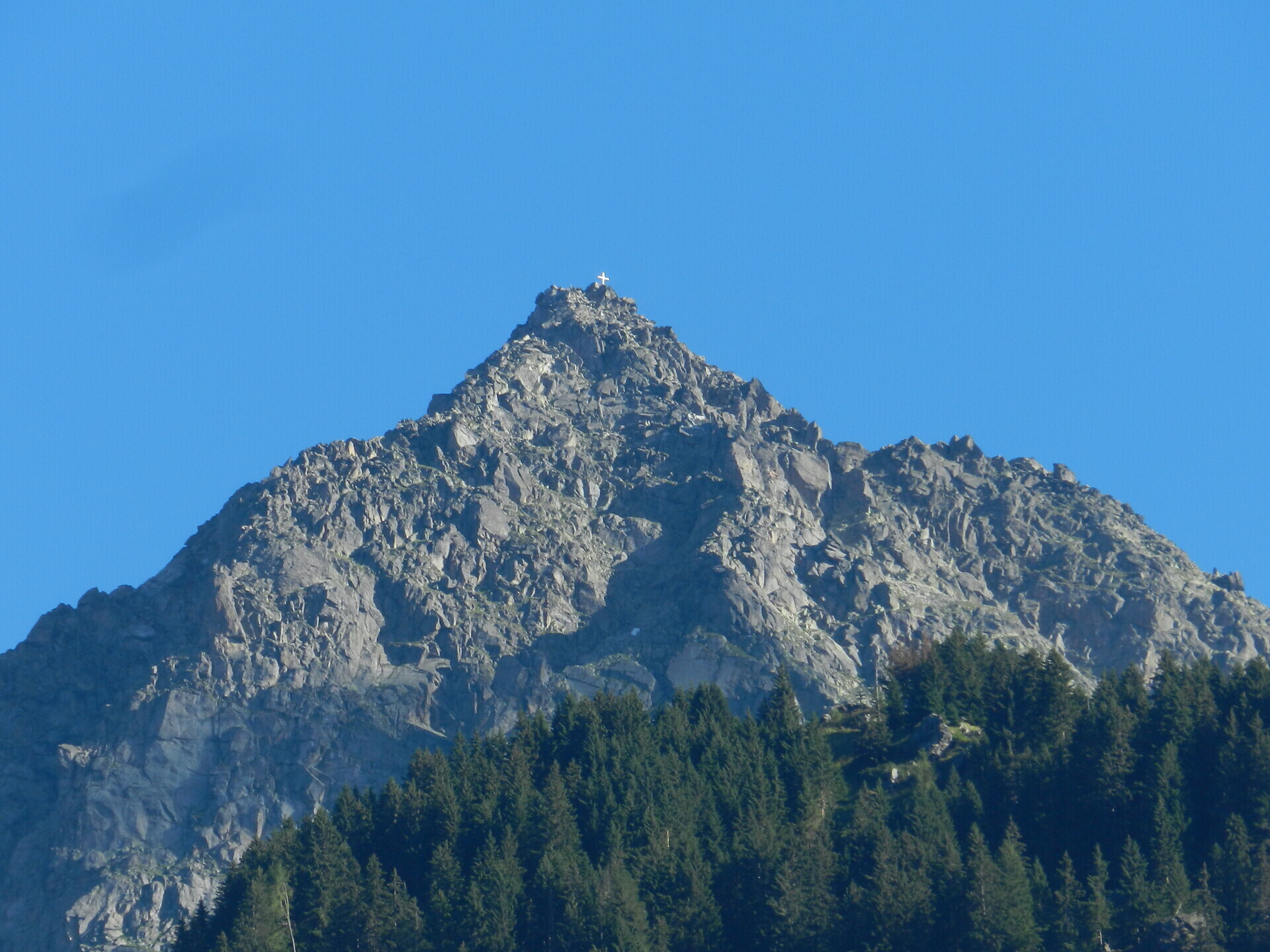
The adventure path can be reached within about 20 minutes from the village centre when walking in the direction of the irrigation channel and following the sign-posts of the "squirrel". The access to the adventure path is located at the car park above the Hotel Restaurant Waldschenke at the Marling/Marlengo irrigation channel. The round path is about 1 km long and offers 23 nature and adventure stations easily accessible for the entire family. Since the path can be freely accessed, the community does not assume any liability.
From Meran/Merano or the valley Vinschgau/Val Venosta into the centre of Marling/Marlengo. Then up the St. Felix Weg/Via S. Felice street until the hotel and restaurant Waldschenke. Public parking present.
On the public car park next to the hotel Waldschenke can be parked for free.
The bus line 212 goes directly into the centre of Marling/Marlengo.
Good to know:
- emergency call 112
- weather report: weather.provinz.bz.it
- timetable: www.suedtirolmobil.info/en
No special equipment necessary.
Fancy a hiking holiday in Algund?
We will gladly help you to plan your holiday in Algund.
From Algund/Lagundo to Vellau/Velloi along the Grabbachweg and the Saxnerweg trails
Duration: 4h | Length: 12,69 km | Highest point: 964 m
Spronser Seen lakes: At the heart of the Texelgruppe Nature Park
Duration: 5h 13 | Length: 14,98 km | Highest point: 2580 m
The Spronser lakes are located at the centre of the Texel Mountain Nature Park, one of the largest high mountain lake districts in the entire Alps. They are filled with ...
Peak Zielspitz/Cima Zielspitz (3.006 m)
Duration: 8h 45 | Length: 18,61 km | Highest point: 3006 m
High above Partschins/Parcines sits the well-known local mountain of Partschins/Parcines, the Zielspitze summit!
The three-thousand-metre peak is the first peak in ...