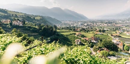

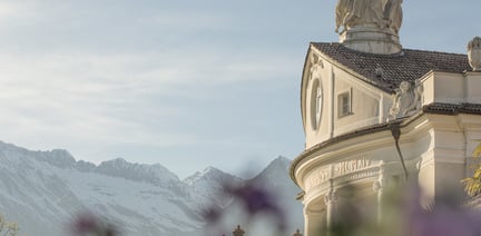
within 5 minutes to merano
Close to the Spa Town

Panoramic circular hike from Aschbach via Naturnser Alm to Vigiljoch and back – varied and scenic.
A scenic circular hike from the mountain hamlet of Aschbach across Naturnser Alm to the sunny plateau of Vigiljoch. The route combines quiet forest trails, open alpine meadows and wide panoramic views over the Vinschgau Valley.
Starting point
Aschbach cable car mountain station
End point
Aschbach cable car mountain station
Aschbach mountain station – trail 27 (Goldbrunnen-Siebenbrunnen) – Naturnser Alm – Vigiljoch – Aschbach mountain station
Take the Aschbach cable car from Rabland up to the charming mountain village of Aschbach (1,362 m). From the mountain station, follow trail 28, then turn right onto trail 27 (Goldbrunnen-Siebenbrunnen) leading up to Naturnser Alm (1,922 m) hut, a perfect panoramic rest stop.
The return route continues slightly uphill on trail 9A, then along trail 9 and trail 30 to reach Vigiljoch (1,790 m). From there, follow trail 28 back to the Aschbach cable car mountain station.
Highlights
• Maria Schnee chapel and the Church of the Sacred Heart of Jesus in Aschbach
• Church of St. Vigilius on Vigiljoch (first documented in 1278)
Timetable search: https://www.suedtirolmobil.info/en/
The starting points of our hiking tours can be reached comfortably and in an environmentally friendly way by bus and train. With the South Tyrol Guest Pass, all public transport throughout South Tyrol can be used free of charge – no need to search for parking. Tip: timetables and connections are available at www.suedtirolmobil.info.
Parking options in Partschins are limited. In order to protect the local natural area and support sustainable travel, we recommend using public transport. Thank you for helping to protect this area!
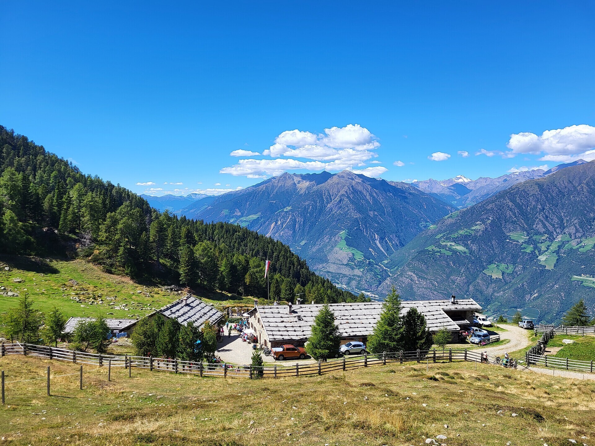


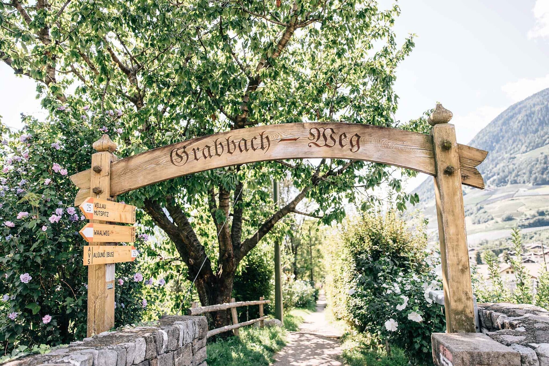
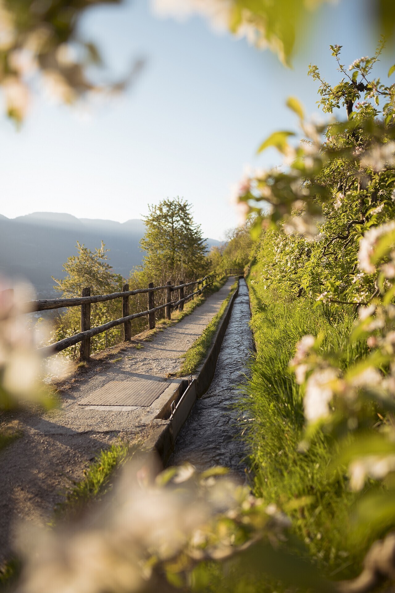
Twelve kilometers long, the Marlinger Waalweg trail is a popular hiking trail which runs along the former irrigation channels, the longest of its kind in South Tyrol. Starting at the Töllbrücke bridge, the 250 year-old path gently ascends through ...

The newly-opened Knottnkino³ circuit trail connects the three red porphyry rocks of Vöran. Starting from the Vöran-Burgstall upper cableway station, the trail leads to the three panoramic landmarks of Vöran: ...