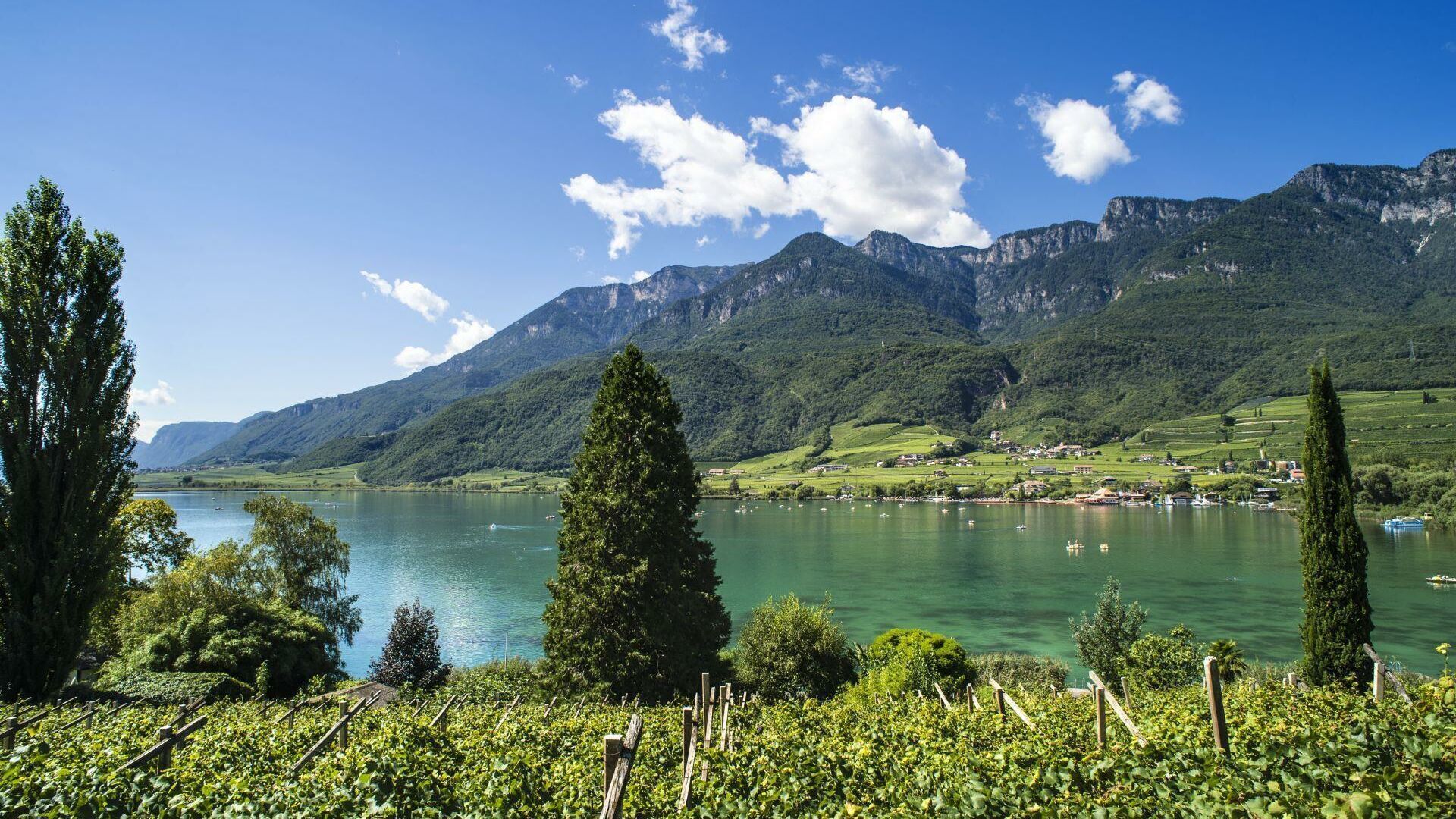
within 5 minutes to merano
Close to the Spa Town

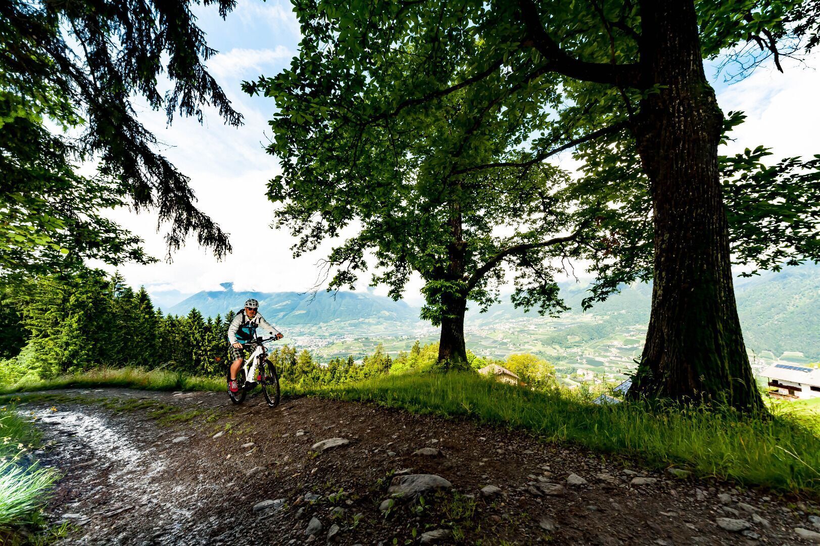
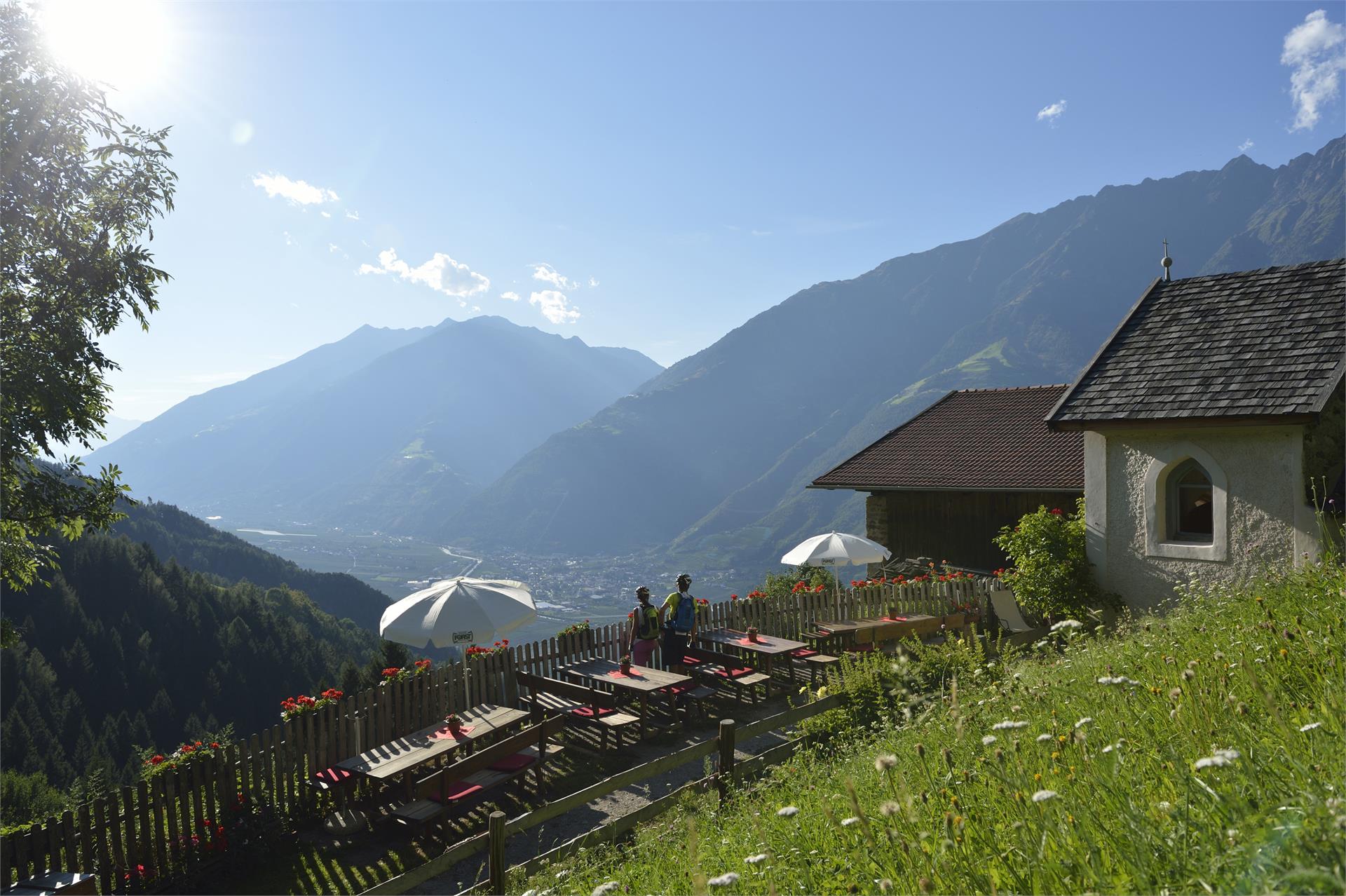
From Algund via Mitterplars to Töll - entrance to the new cycle path. Ride towards the bridge, then follow the Quadrathofstrasse, which will lead you up a steep hill. After 2.4 km turn in the direction of Aschbach (left) at the crossroads, pass two restaurants: at 3 km Gasthaus Niederhof and at 4.3 km Gasthof Bründl. The road leads you through steep forests uphill, passing the former Gasthof Mahlbach (ruins), until the roads ends at 7.3 km at a barrier. Ride on via the forest road, which soon becomes less steep, until you come to 9.2 km. At a fork at 9.8 km, you have reached the highest point (1,416 metres). Turn right, follow path # 27 to Aschbach until you come to 10.9 km, where the forest road ends. After pushing your bike for about 3 to 4 minutes along the hiking path, you come back to a forest road leading downhill to Aschbach (1,362 metres / 12.4 km / N46º 38631 E011º04.421). The Aschbacherhof is a good place to rest and eat and offers you wonderful panoramic views. Be careful on the road leading down to the valley. There are lots of unexpected cars turning corners. Drive via Mitterplars to Algund.
The access to the Brand trail is at the parking lot “Kreuzbrünnl” following the signposts “Uphill Naturnser Alm”. After about 1,5 km turning left into a forest road ...