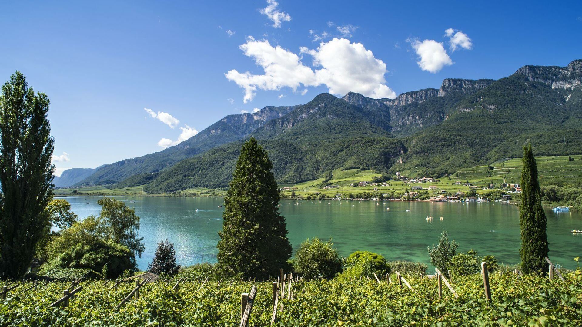
within 5 minutes to merano
Close to the Spa Town

| Start at the outdoor pool in Algund/Lagundo and turn right to take the cycle path to Naturns/Naturno. In Naturns/Naturno, cross the bridge and continue until the sports field, where the ascent to the Naturnser Nörderberg mountain begins. Passing by a few mountain farms, you continue uphill until you reach the forest road leading to the Kreuzbrünnl car park and to the Naturnser Alm mountain hut. Proceed along trail no. 9A branching off to the right directly behind the mountain hut (Please note: We recommend against taking trail no. 30!). After a short ascent, an old cart path leads along the high plateau to the junction with trail no. 9. Follow this partly steep trail until Vigiljoch/Monte San Vigilio. Take the forest road at the small church to descend towards Aschbach/Rio Lagundo and continue along the asphalt road down to Töll/Tel and back to Algund/Lagundo. |
Start at the outdoor pool in Algund/Lagundo and turn right to take the cycle path to Naturns/Naturno. In Naturns/Naturno, cross the bridge and continue until the sports field, where the ascent to the Naturnser Nörderberg mountain begins. Passing by a few mountain farms, you continue uphill until you reach the forest road leading to the Kreuzbrünnl car park and to the Naturnser Alm mountain hut. Proceed along trail no. 9A branching off to the right directly behind the mountain hut (Please note: We recommend against taking trail no. 30!). After a short ascent, an old cart path leads along the high plateau to the junction with trail no. 9. Follow this partly steep trail until Vigiljoch/Monte San Vigilio. Take the forest road at the small church to descend towards Aschbach/Rio Lagundo and continue along the asphalt road down to Töll/Tel and back to Algund/Lagundo.


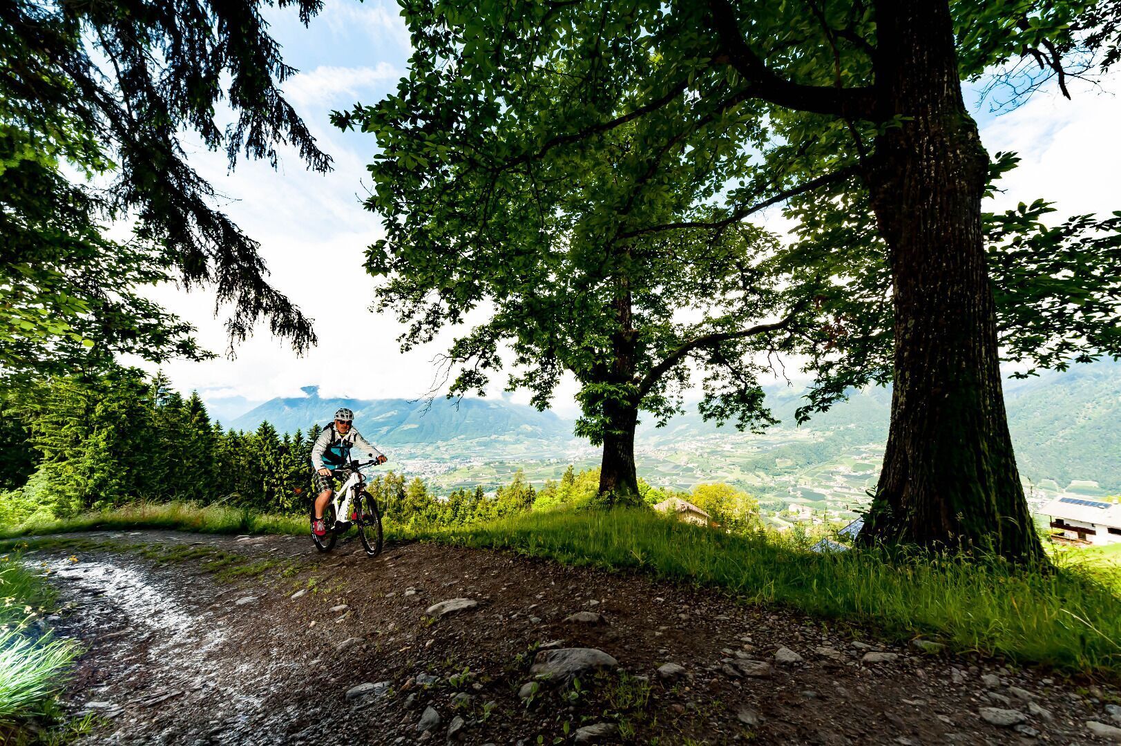
The access to the Brand trail is at the parking lot “Kreuzbrünnl” following the signposts “Uphill Naturnser Alm”. After about 1,5 km turning left into a forest road ...