300 days of sunshine a year
Sunny prospects in Algund

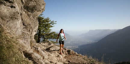
The circuit trail route leads along historic water channels around the Meran basin. This easy hike connects eleven trails.
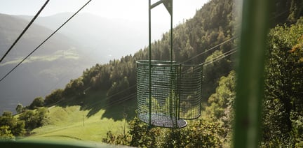
The Merano irrigation channels trails (Waalwege) represent a union of eleven trails around Meran/Merano in South Tyrol. Waalwege trails are narrow walking paths that run along historic water canals. These channels were once used to irrigate the fields and date back to the 13th century.
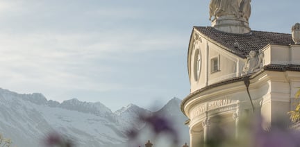
Vines, apple trees, pines, cypresses, firs and larches line these special Waalwege canal trails, which in South Tyrol can only be found around Meran and in the Vinschgau valley. Castles, palaces and chapels along the way offer insights into the culture of the region. Meanwhile, traditional inns invite you to take a break.
The circular tour on the Merano Canal Trails is approx. 80 km long, going round the entire Meran basin. Remaining at nearly the same elevation throughout, the circular tour runs along the Etschtal valley’s mountains. This makes the entire route and also the individual stages ideal for leisure hikers and families.
The Merano Canal Trail can be hiked all year round and connects eleven irrigation canals (Waalwege) with one another: the Algunder Waalweg, the Kuenser Waalweg, the Waalweg Riffian, the Maiser Waalweg, the Schenner Waalweg, the Brandiswaalweg in Lana, the Tschermser Waalweg, the Marlinger Waalweg, the Partschinser Waalweg, the Rablander Waalweg and the Wallburgweg in Naturns/Naturno.
From Meran or Vinschgau valley, drive towards Töll. At the turnoff at the Töll bridge, turn left towards Algund and continue driving until you reach the car park at the Algunder Waalweg irrigation channel trail.
Parking is available at the Töllgraben car park east of Töll.
Take the Vinschger Bahn railway from Meran to Töll-Brücke. Proceed from the train stop to the parking area on foot. Also accessible via the Meran-Algund-Partschins bus line as well as the Schlanders-Meran line.