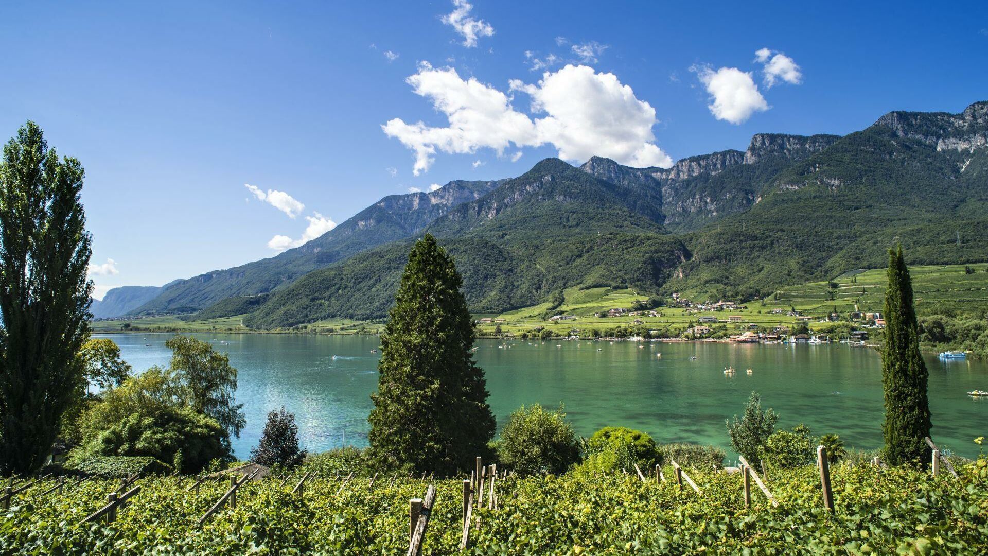
Only 2 km from the spa town
Merano just around the corner

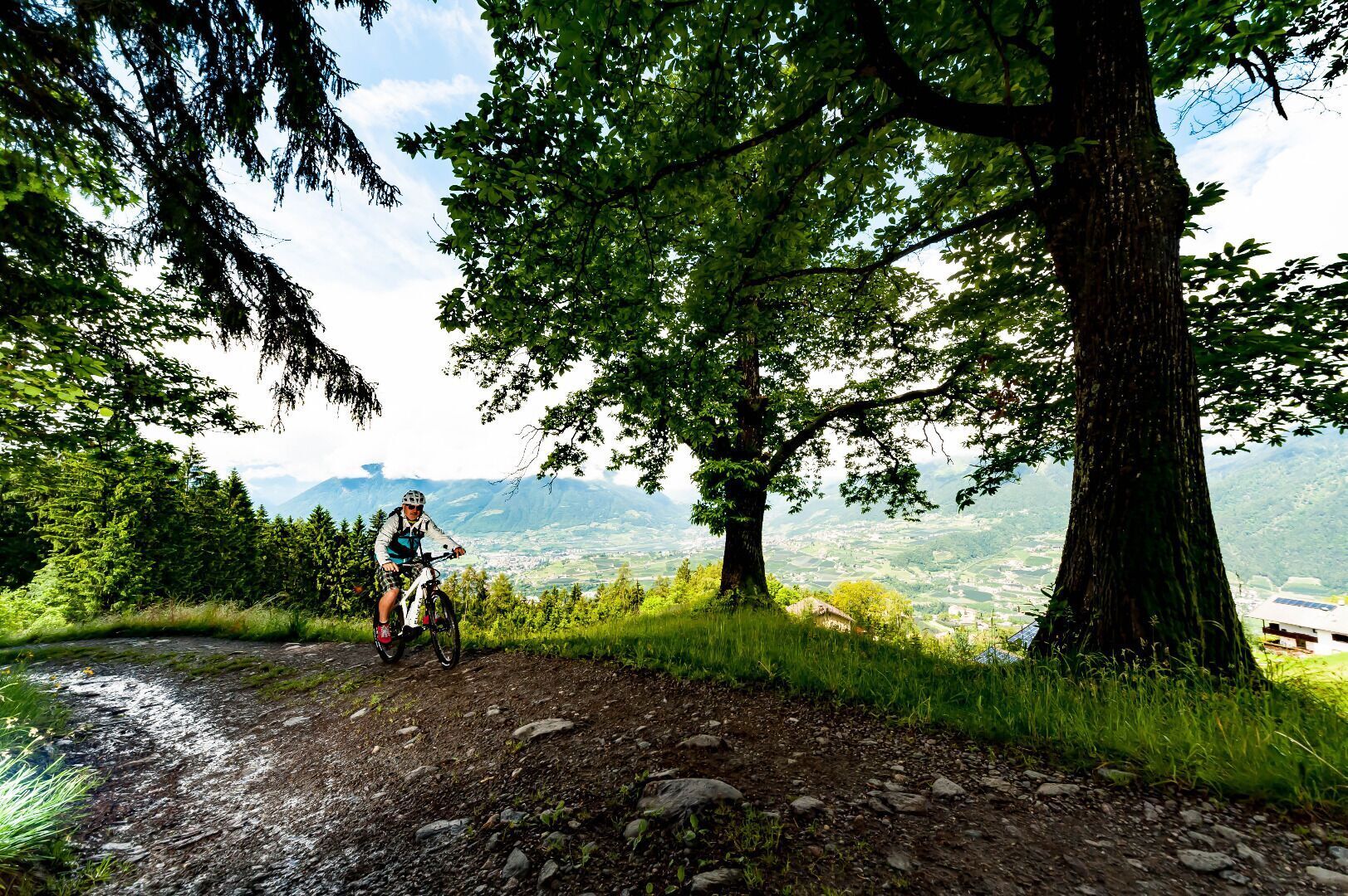
The car park at the town hall in Algund/Lagundo is a good starting point for the Leiter Alm mountain hut tour. Initially, follow the cycle path towards Töll/Tel-Vinschgau valley for a short distance and then branch off to Vellau/Velloi on the main road. Continue uphill until the Oberplatzer inn. From there follow the gravel road leading to the Leiter Alm mountain hut 1,150 meters above the starting point.
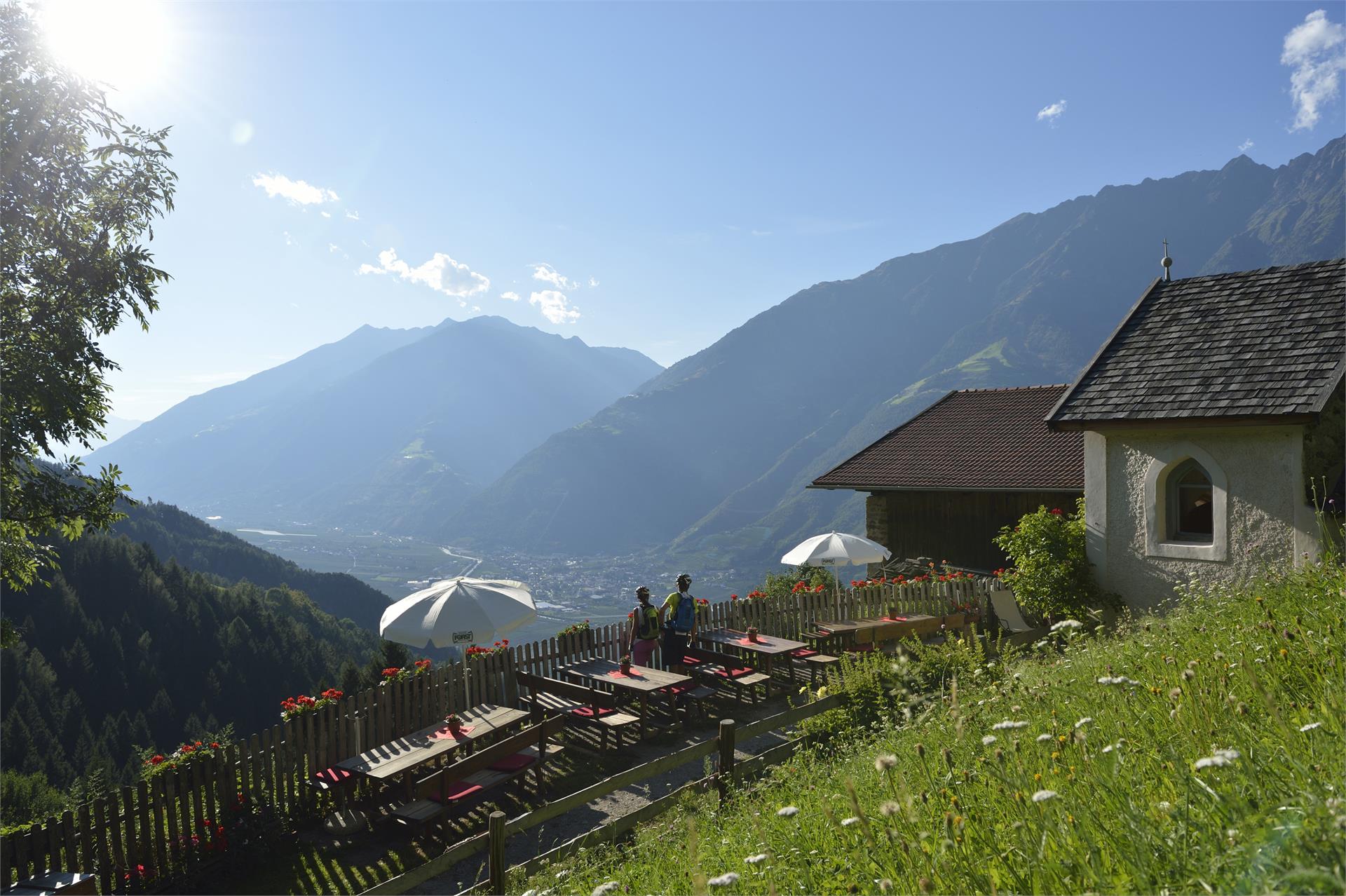
The access to the Brand trail is at the parking lot “Kreuzbrünnl” following the signposts “Uphill Naturnser Alm”. After about 1,5 km turning left into a forest road ...