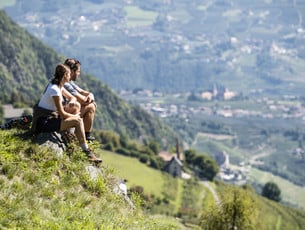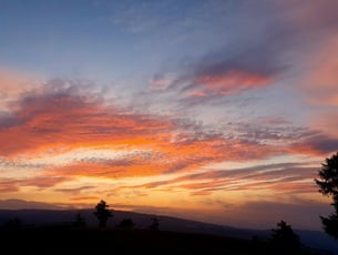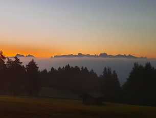

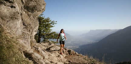


Join our hiking guides on special hiking tours and unique sunrise hikes or sunset hikes, that you won't soon forget.
Look forward to special views, inspiring conversations and travelling tales about exciting mountain adventures and an unforgettable time in the midst of the South Tyrolean mountains.
High up with our hiking guides Georg and Monika.
In our calendar of events you will find these, as well as numerous other exciting events in and around the garden village of Algund!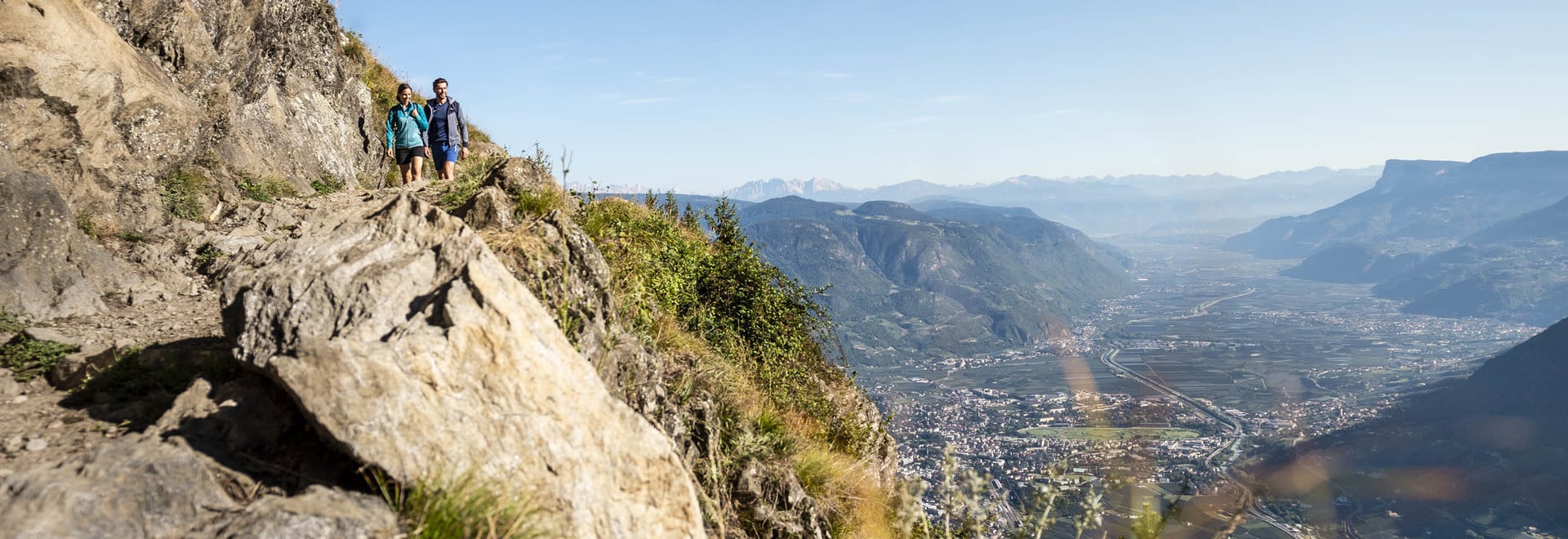