within 5 minutes to merano
Close to the Spa Town

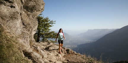
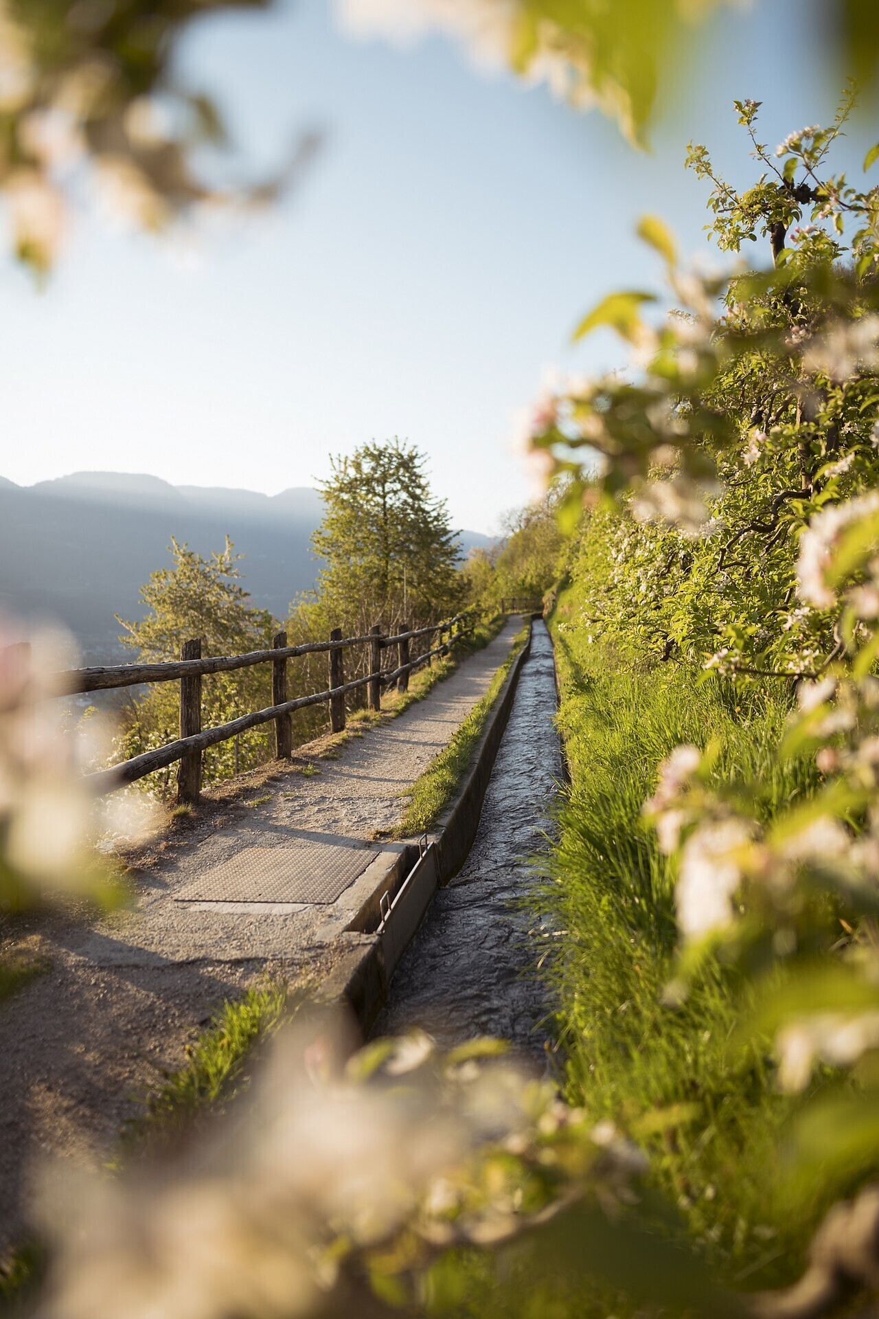
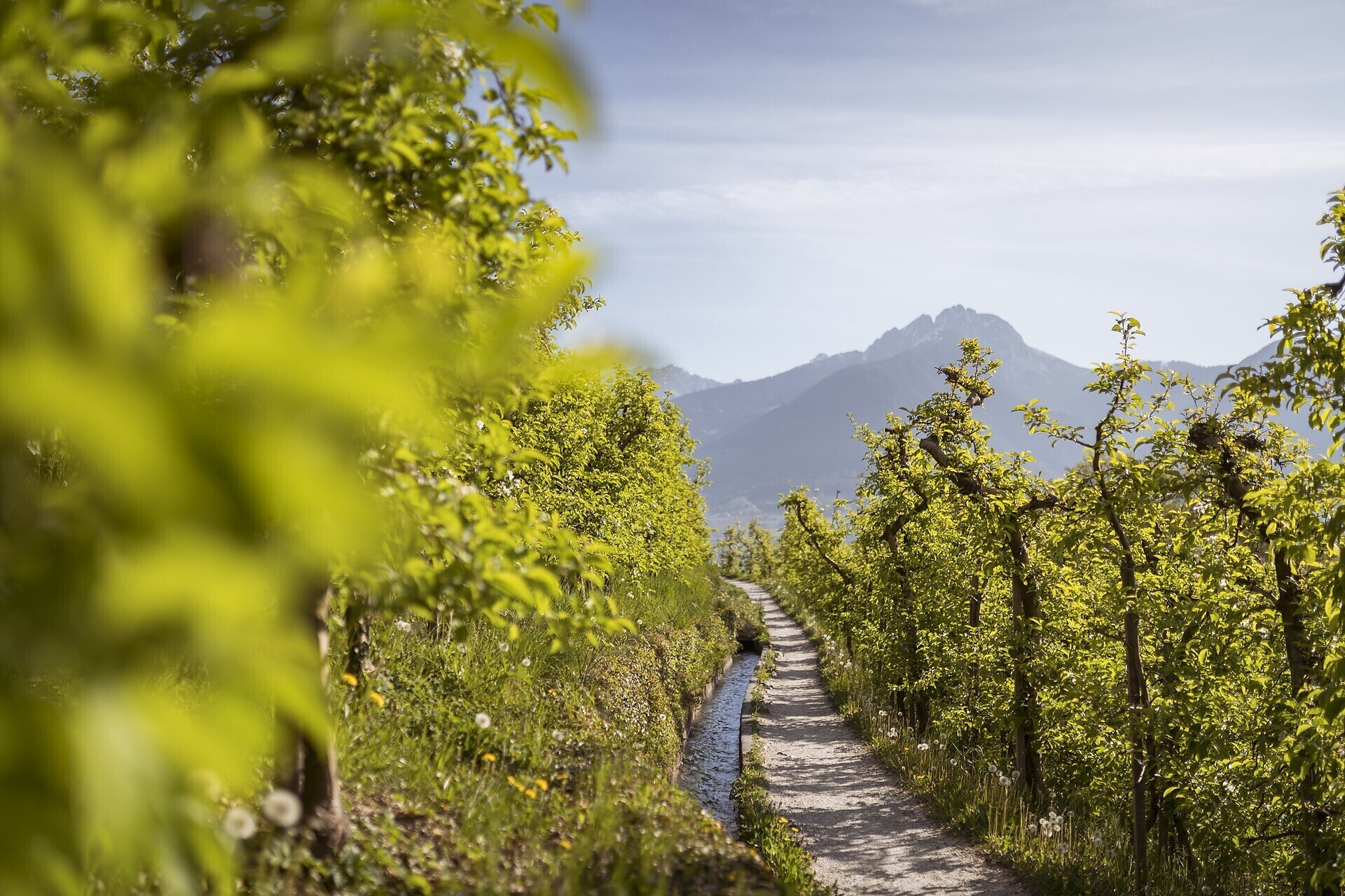
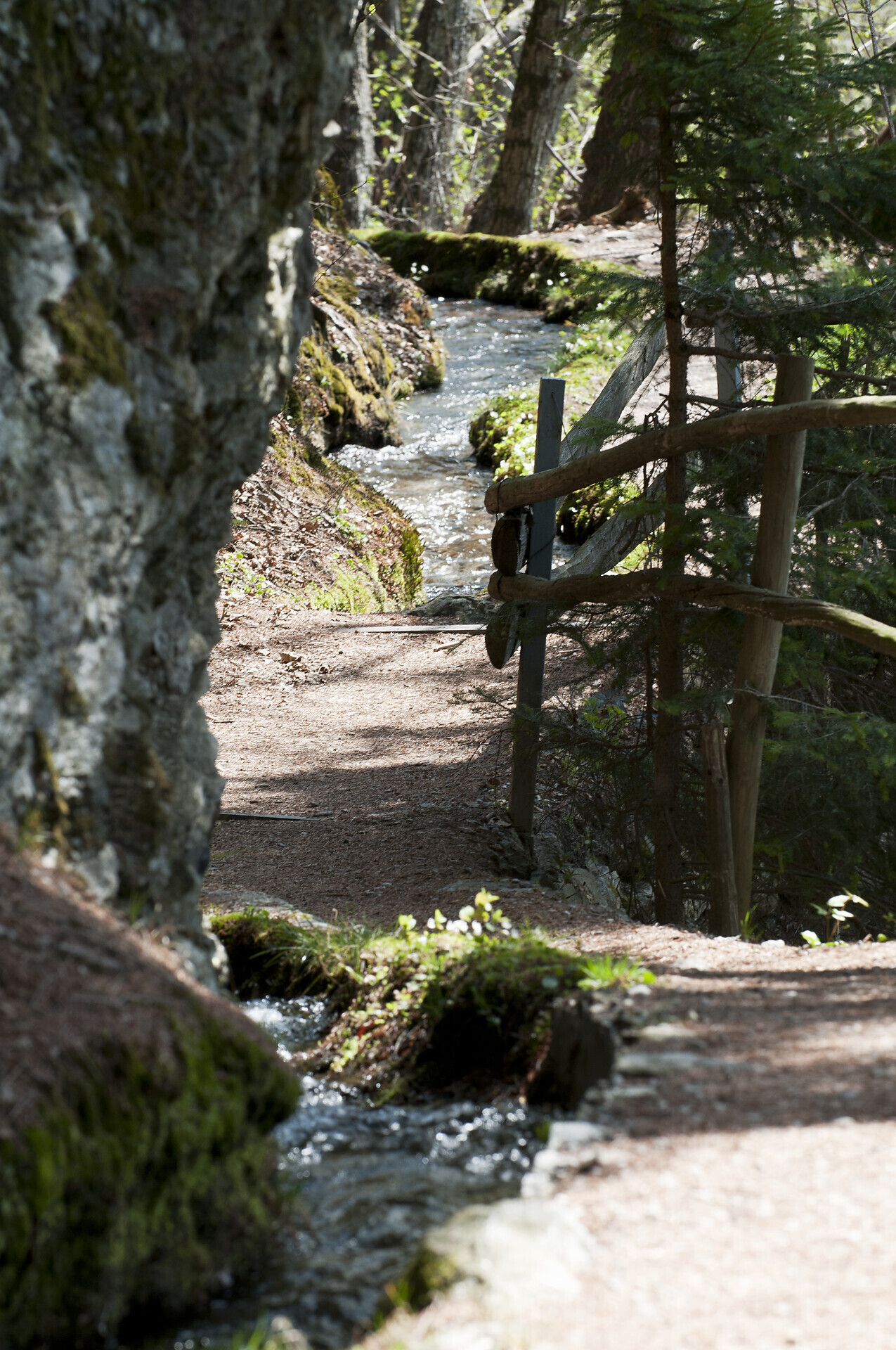
Twelve kilometers long, the Marlinger Waalweg trail is a popular hiking trail which runs along the former irrigation channels, the longest of its kind in South Tyrol. Starting at the Töllbrücke bridge, the 250 year-old path gently ascends through apple orchards and woods to firmer and more level ground. After pausing to admire the medieval Lebenberg Castle, hikers continue slightly downhill along the slope of Marling mountain to the village of Lana.
Spectacular views of the surrounding mountains can be seen along the entire length of the Marlinger Waalweg trail. The agricultural landscape lining the irrigation channels is also impressive, with meadows and forests alternating with vineyards and orchards. Along the Marlinger Waalweg trail there are also impressive views of the Merano basin, the Val Passiria/Passeier Valley, and the imposing Texelgruppe mountain range.
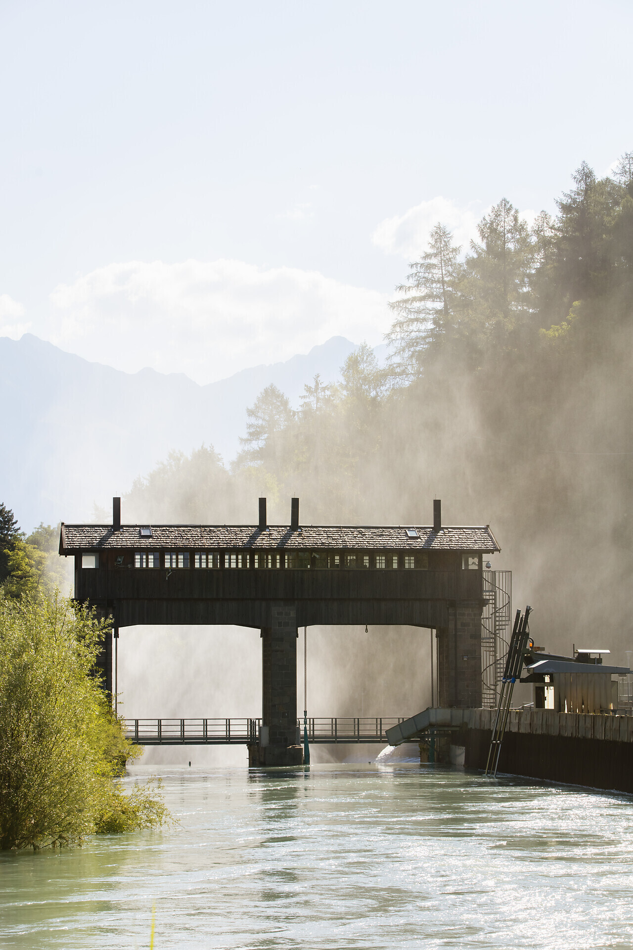
Töll/Tel, the starting point of this tour, is easily reachable by bus no. 213 Algund/Lagundo-Partschins/Parcines. Turn right at the hydroelectric power station in Töll/Tel to reach the Marling Waalweg canal trail that leads along the so-called Marlinger Berg mountain above the villages of Forst/Foresta, Marling/Marlengo and Tscherms/Cermes to Lana. Take the bus to return to Algund/Lagundo.
Parking lot next to the Forster Steg at the outdoor swimmingpool.
By train to Merano and by bus line 212 to Algund, bus stop Forster Steg.
The Marlinger Waalweg trail is well-connected to the public transport network, allowing visitors to move around without need for a car.

The Spronser lakes are located at the centre of the Texel Mountain Nature Park, one of the largest high mountain lake districts in the entire Alps. They are filled with ...

High above Partschins/Parcines sits the well-known local mountain of Partschins/Parcines, the Zielspitze summit!
The three-thousand-metre peak is the first peak in ...