within 5 minutes to merano
Close to the Spa Town

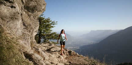
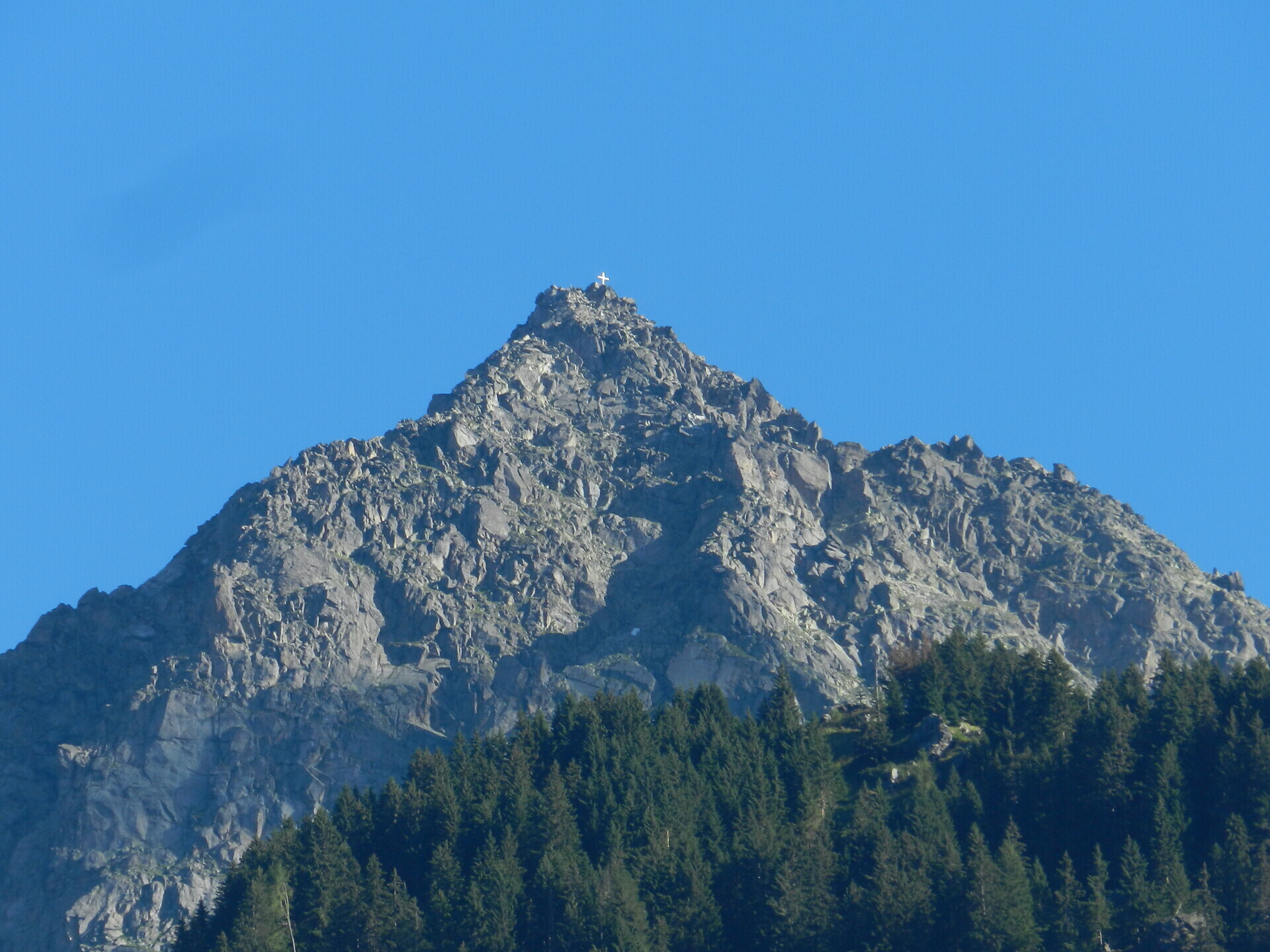
High above Partschins/Parcines sits the well-known local mountain of Partschins/Parcines, the Zielspitze summit!
The three-thousand-metre peak is the first peak in the ridge between the Zieltal and Schnalstal valleys and at the same time the southernmost foothill of the Texel Group Nature Park.
Tour Start
Texelbahn cableway mountain station
Tour End
Texelbahn cableway mountain station
From the Texelbahn cableway mountain station on the Merano High Path Trail n° 24 to the refuge Nasereit (1,525 m). Continue on trail n° 8 into the Zieltal valley to “Ginglegg” (1,891 m), from here follow trail n° 3 to the ruined “Königshofalm” (2,348 m) and then turn left towards the Zielpitze summit (3,006 m). The descent follows the same route.
Variant: experienced and vertigo-free mountaineers with good physical condition can choose the more difficult variant from the mountain station of the Texelbahn cableway via trail. n° 2 through the “Schindeltal” valley. This ascent is very arduous and requires absolute freedom from vertigo and surefootedness in the summit area!
Attention:snowfields in early summer can make the hike considerably more difficult.
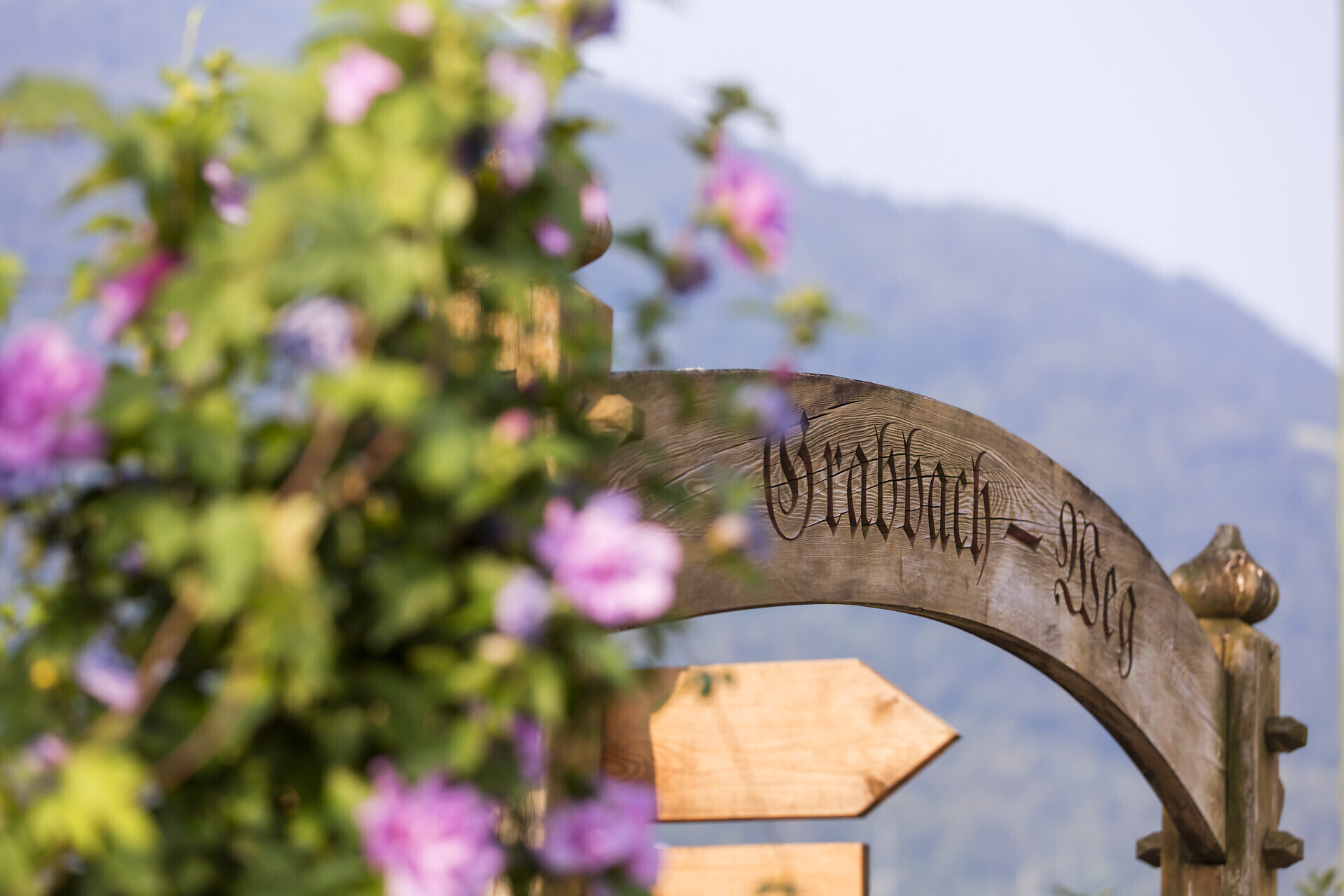
Texelbahn cableway valley station, Via Ziel, Rabland/Rablà
All-day, in the designated parking area. Campers only between 7.00 a.m. – 7.00 p.m.
The car park at the Partschins cemetery is reserved for cemetery visitors and funerals. We ask you to respect this!
From Meran/o: train n° 250 to Rabland/Rablà – and from there bus n° 266 to the Texelbahn cableway valley station.
From Vinschgau valley/Val Venosta: train n° 250 to Rabland/Rablà, and from there bus n° 266 to the Texelbahn cableway valley station.
From Naturns/Naturno direct bus line n° 266


The Spronser lakes are located at the centre of the Texel Mountain Nature Park, one of the largest high mountain lake districts in the entire Alps. They are filled with ...
The Tschigat is a striking peak in the Texel Group. The pyramid formed from gneiss offers a magnificent view of many mountain peaks. The tour to the Tschigat is not just ...