within 5 minutes to merano
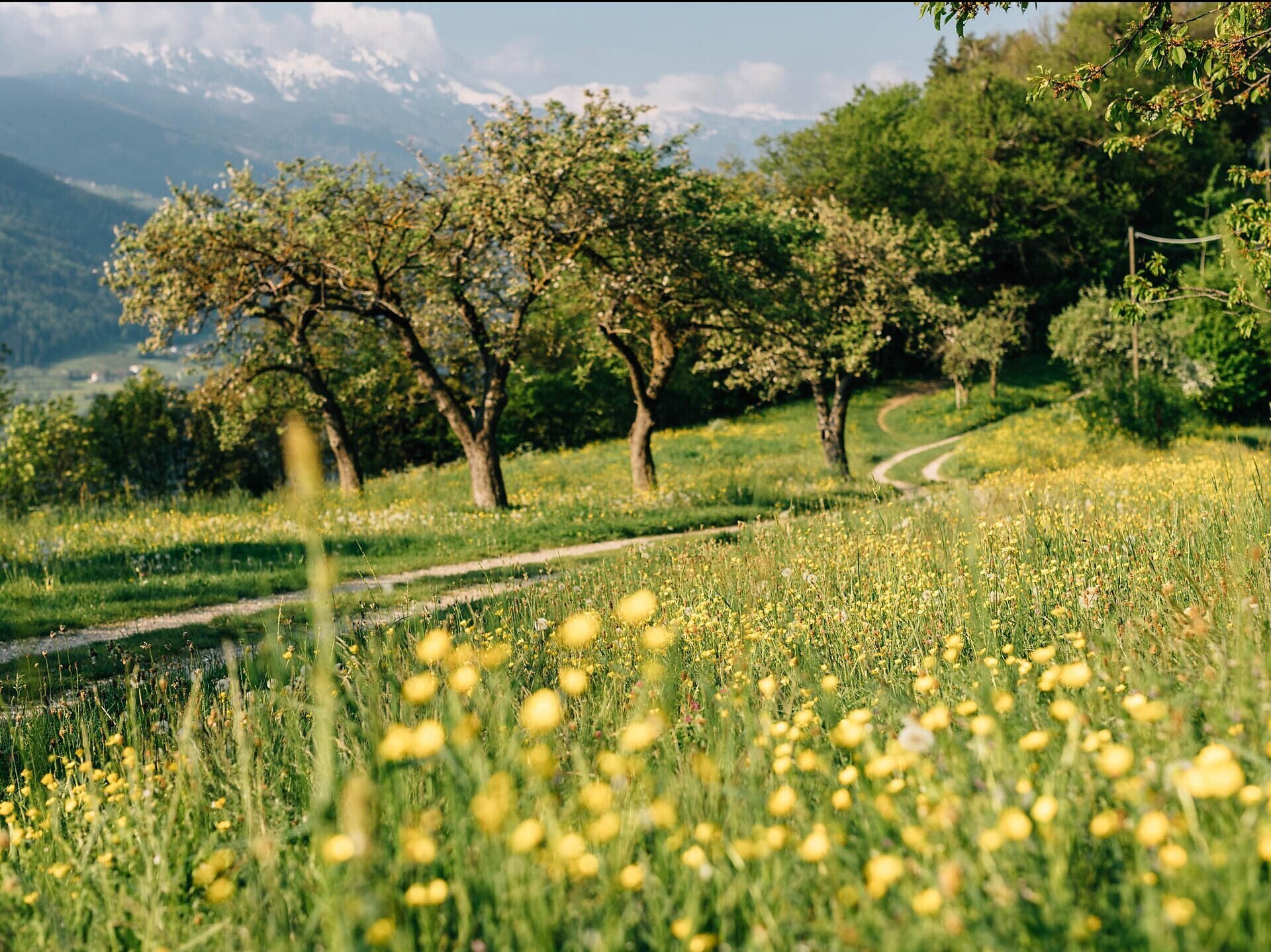
Close to the Spa Town

From the valley station of the Rabland/Rablà-Aschbach/Rio Lagundo cable car, trail no. 28 leads up to the mountain station in Aschbach/Rio Lagundo. The route is partly a bit steep and winds its way through the forest, passes by mountain farms and from time to time crosses the asphalt road, which leads up to Aschbach/Rio Lagundo, a hamlet belonging to the municipality of Algund/Lagundo. After 830 metres of altitude difference, the tour ends at the mountain station of the cable car. Return to the starting point by cable car.


The Felsenweg (Rock Trail) is a well-maintained hiking trail close to the edge of the mountain, a rather easy and flat path but you need to be ...
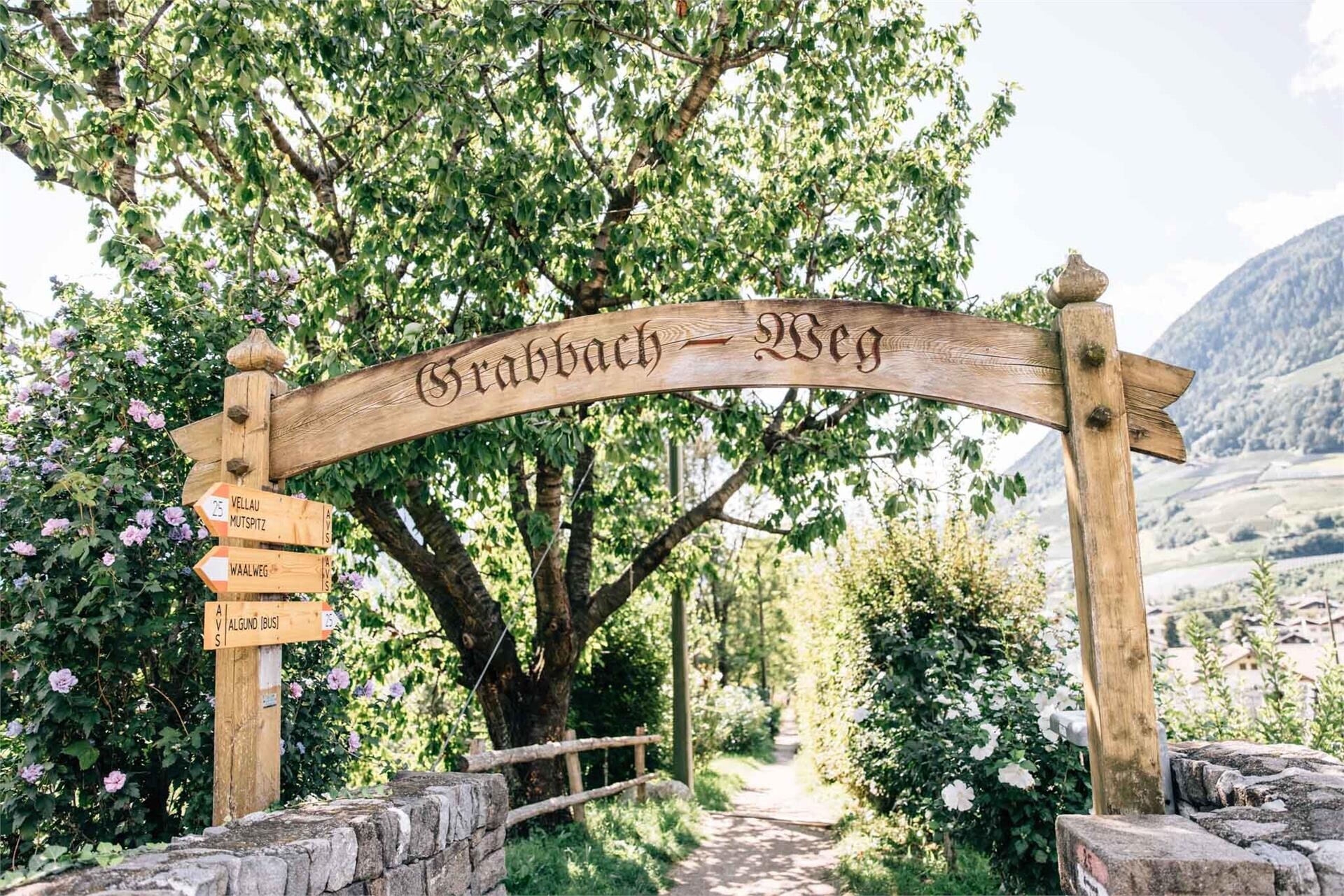
Follow the Grabbachweg trail until Café Konrad and continue along path no. 25A up to the Schlundenstein, a large rock from the Ice Age. From there take path no. 21 that ...