within 5 minutes to merano
Close to the Spa Town

Start in the village centre of Algund/Lagundo and walk to the outdoor pool. After passing the wooden bridge over the Adige river, you reach Forst/Foresta, a district of Algund/Lagundo. Follow the Brauhausstraße westwards until the Alperia power station and then the old signposts for Marlinger Waalweg/Marlinger Höhenweg by climbing the steps up to the old Vinschgauerstraße street (almost no traffic). Cross the street and take the clearly visible trail up to the Marling Waalweg canal trail. Follow the canal trail eastwards until you get to the trail leading to the Marlinger Höhenweg high alpine trail. Follow this path up to the Rastbühel Hof farm and then continue eastwards along the wide access road to the former Josefsberg hotel complex. Descend along the asphalt access road (no. 9) to reach the Marling Waalweg canal trail. Follow the canal trail westwards until the hydroelectric power plant in Tel. Take the same route to return to the centre of Algund/Lagundo.


The Felsenweg (Rock Trail) is a well-maintained hiking trail close to the edge of the mountain, a rather easy and flat path but you need to be ...
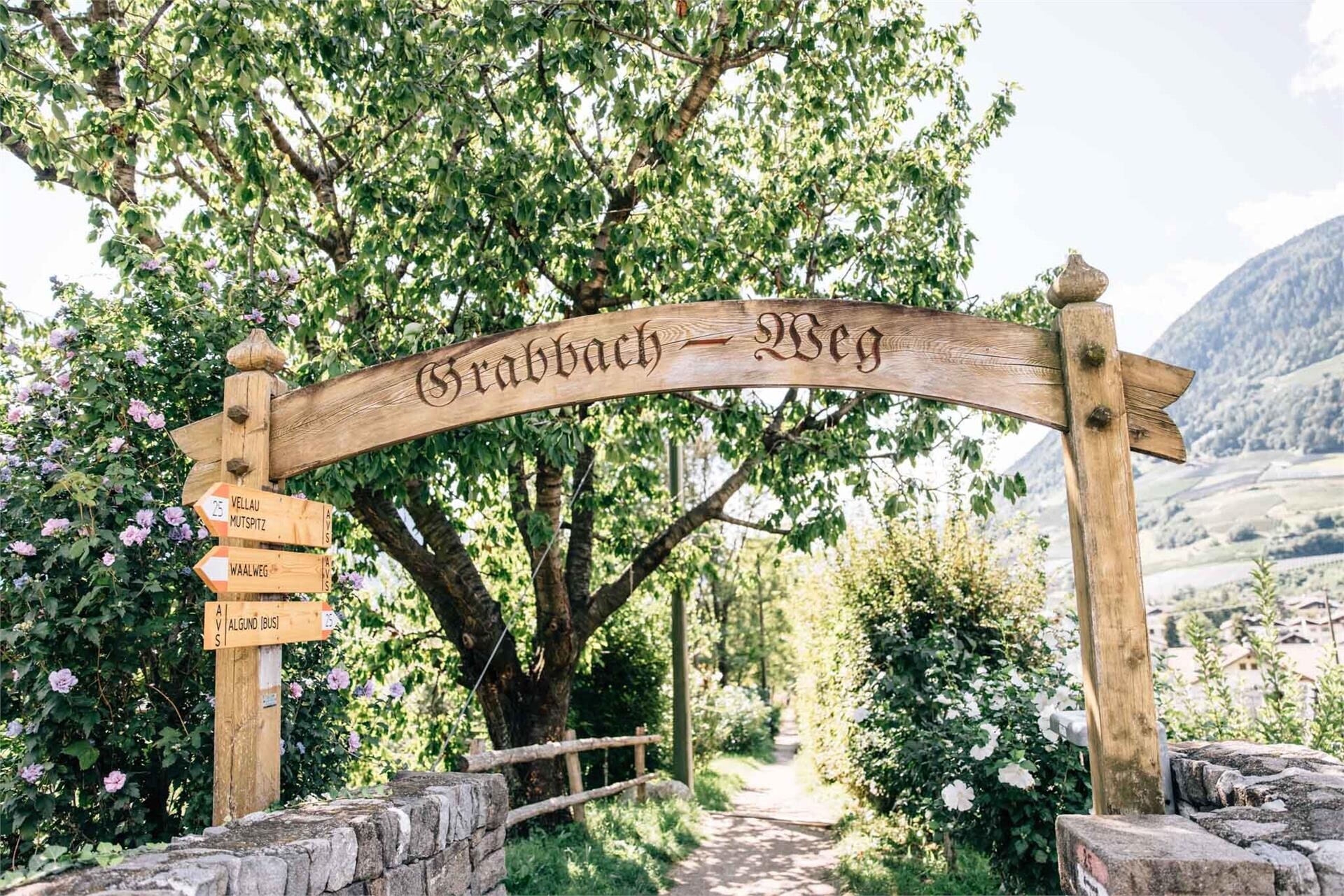
Follow the Grabbachweg trail until Café Konrad and continue along path no. 25A up to the Schlundenstein, a large rock from the Ice Age. From there take path no. 21 that ...