within 5 minutes to merano
Close to the Spa Town


The Eichhörnchenweg trail in Marling/Marlengo functions as an educational nature trail and is identified with the emblem of a squirrel. The one km family-friendly circuit has 23 interactive stations which allow ...

A short and easy hike for the whole family in Quadrat!

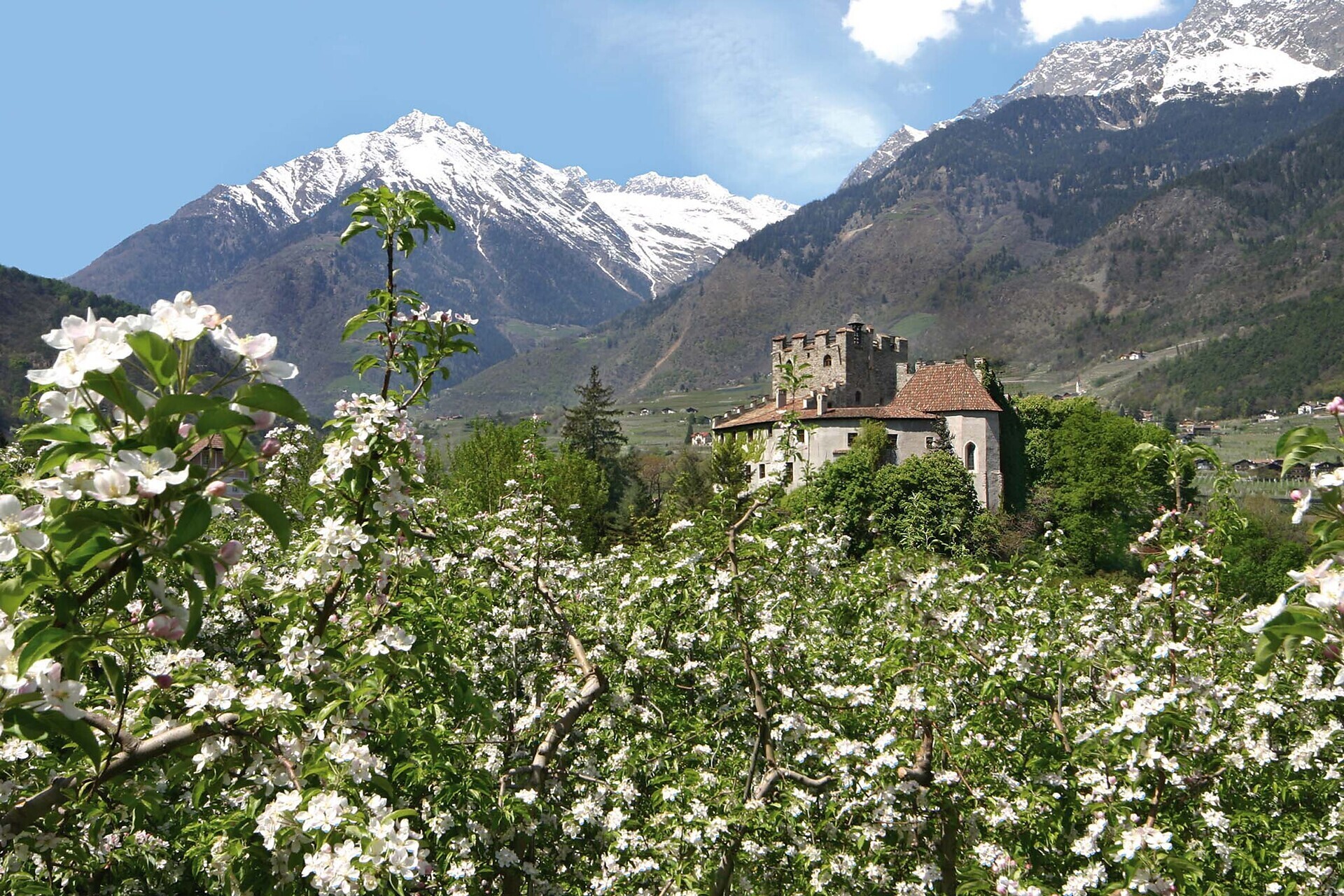
Franz Tappeiner, a doctor and medical researcher from Val Venosta who was a passionate proponent of tourism in Merano, created the promenade and donated it to the city. The four-kilometre-long path splits off from the Gilf Promenade and follows ...
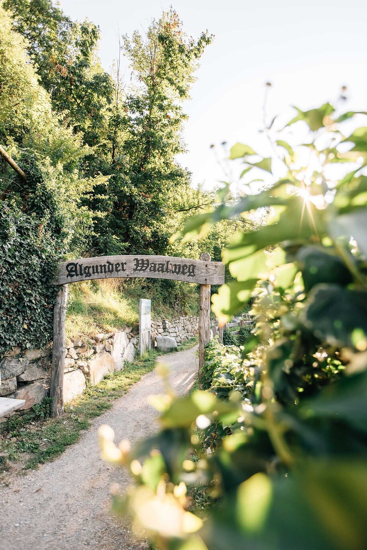
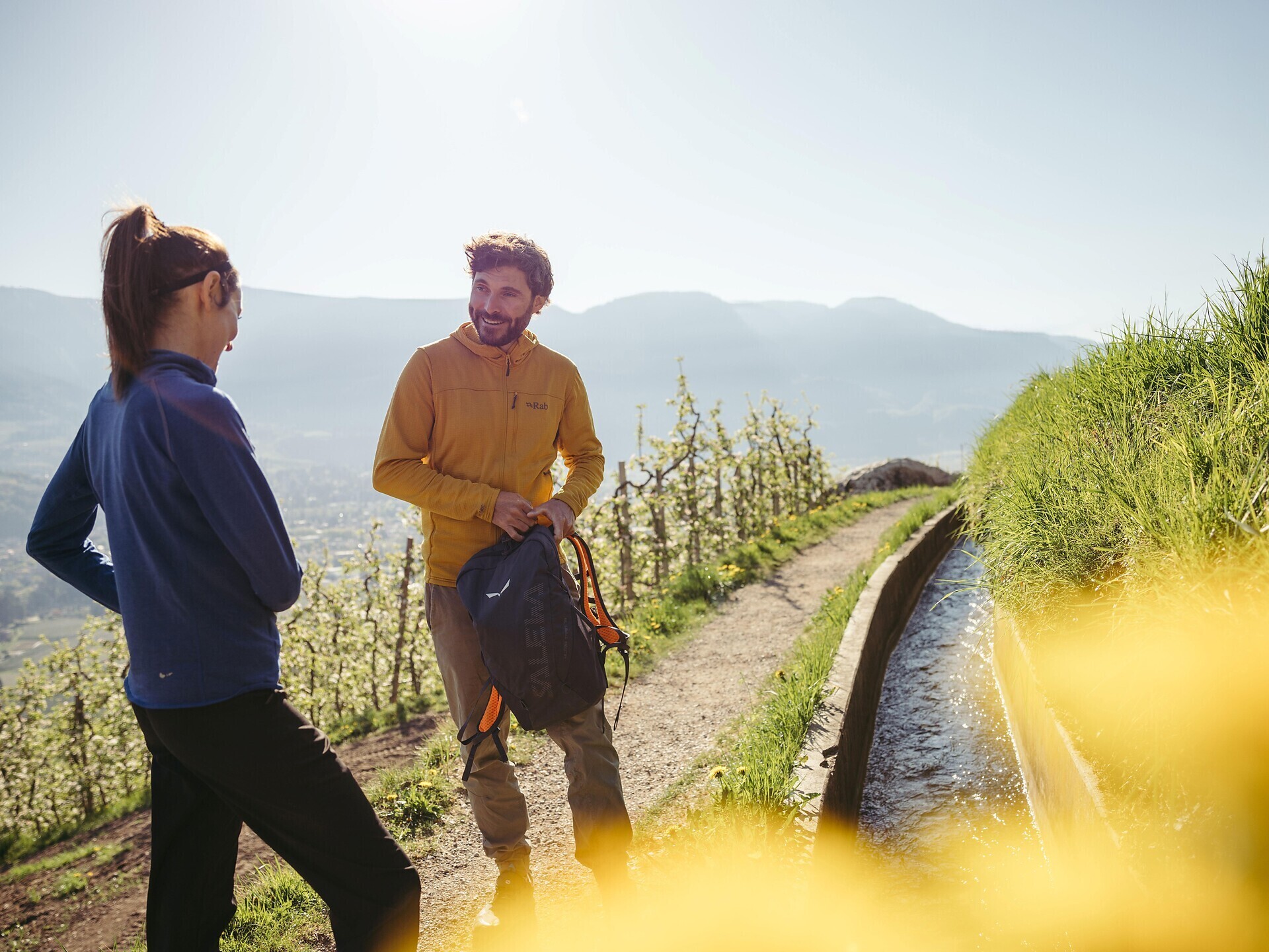
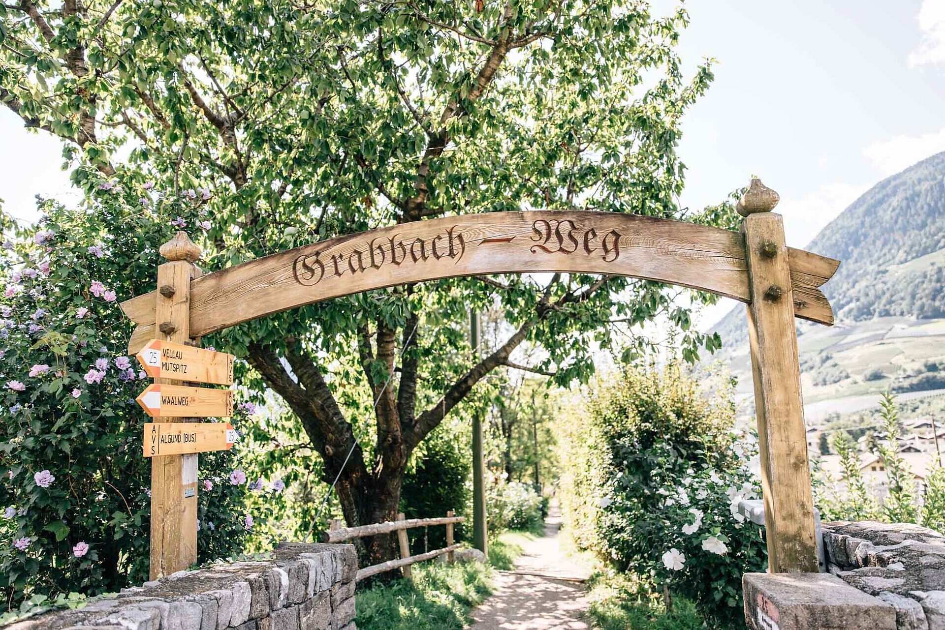
Waalwege are paths along the ancient irrigation channels. The Algunder Waalweg Trail is split into two parts with a lenght of 5 to 6 km. The hike leads along an historical irrigation canal. The canal trail is almost flat. It is therefore ideal ...
The Waalweg trail -Hiking along the irrigation channel
Spectacular views of the surrounding mountains can be seen along the entire length of the Marlinger Waalweg trail. The agricultural landscape lining the irrigation channels is also ...
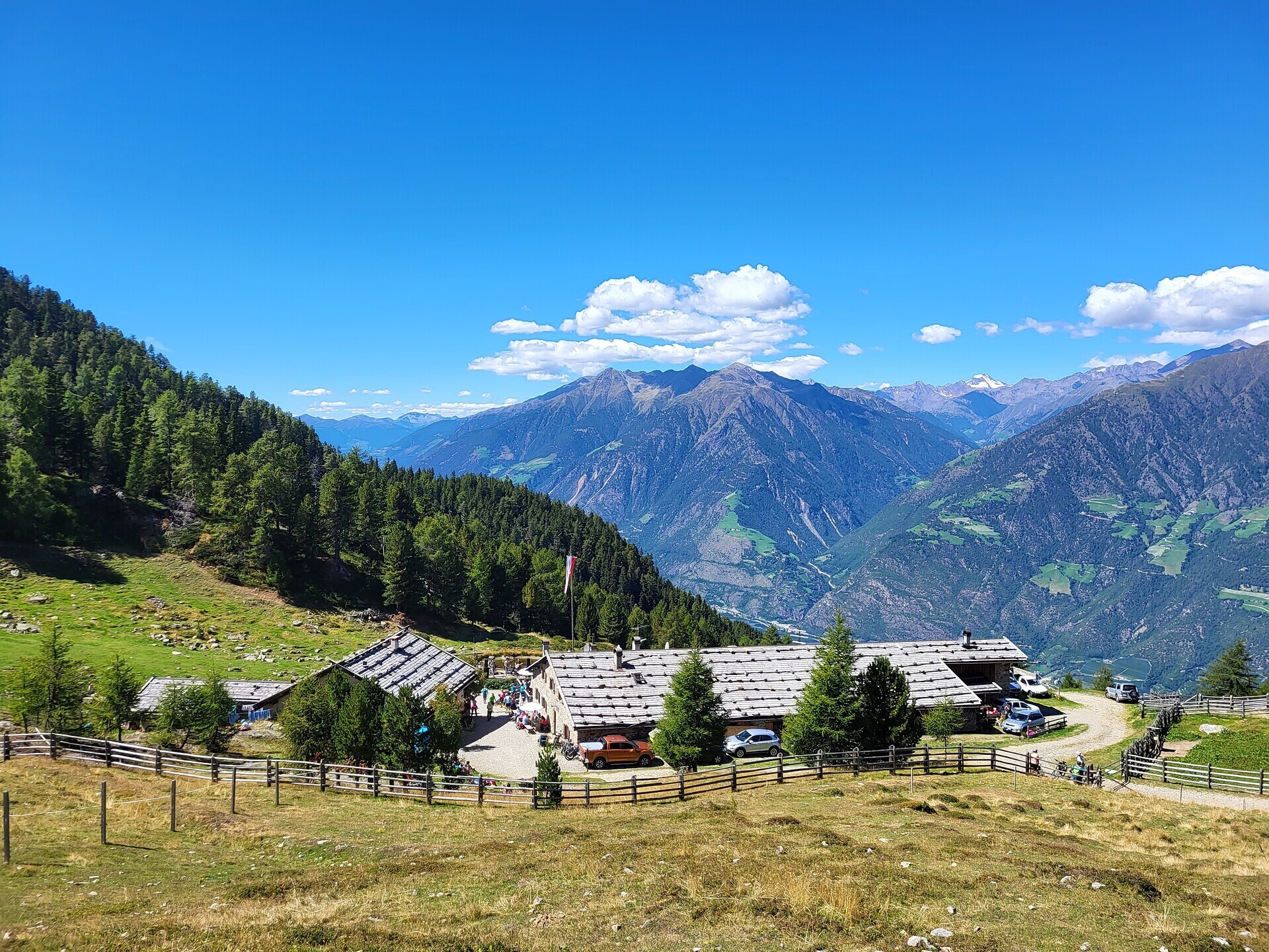
A scenic circular hike from the mountain hamlet of Aschbach across Naturnser Alm to the sunny plateau of Vigiljoch. The route combines quiet forest trails, open alpine meadows and wide panoramic views over the Vinschgau Valley.

The newly-opened Knottnkino³ circuit trail connects the three red porphyry rocks of Vöran. Starting from the Vöran-Burgstall upper cableway station, the trail leads to the three panoramic landmarks of Vöran: ...

High above Partschins/Parcines sits the well-known local mountain of Partschins/Parcines, the Zielspitze summit!
The three-thousand-metre peak is the first peak in ...
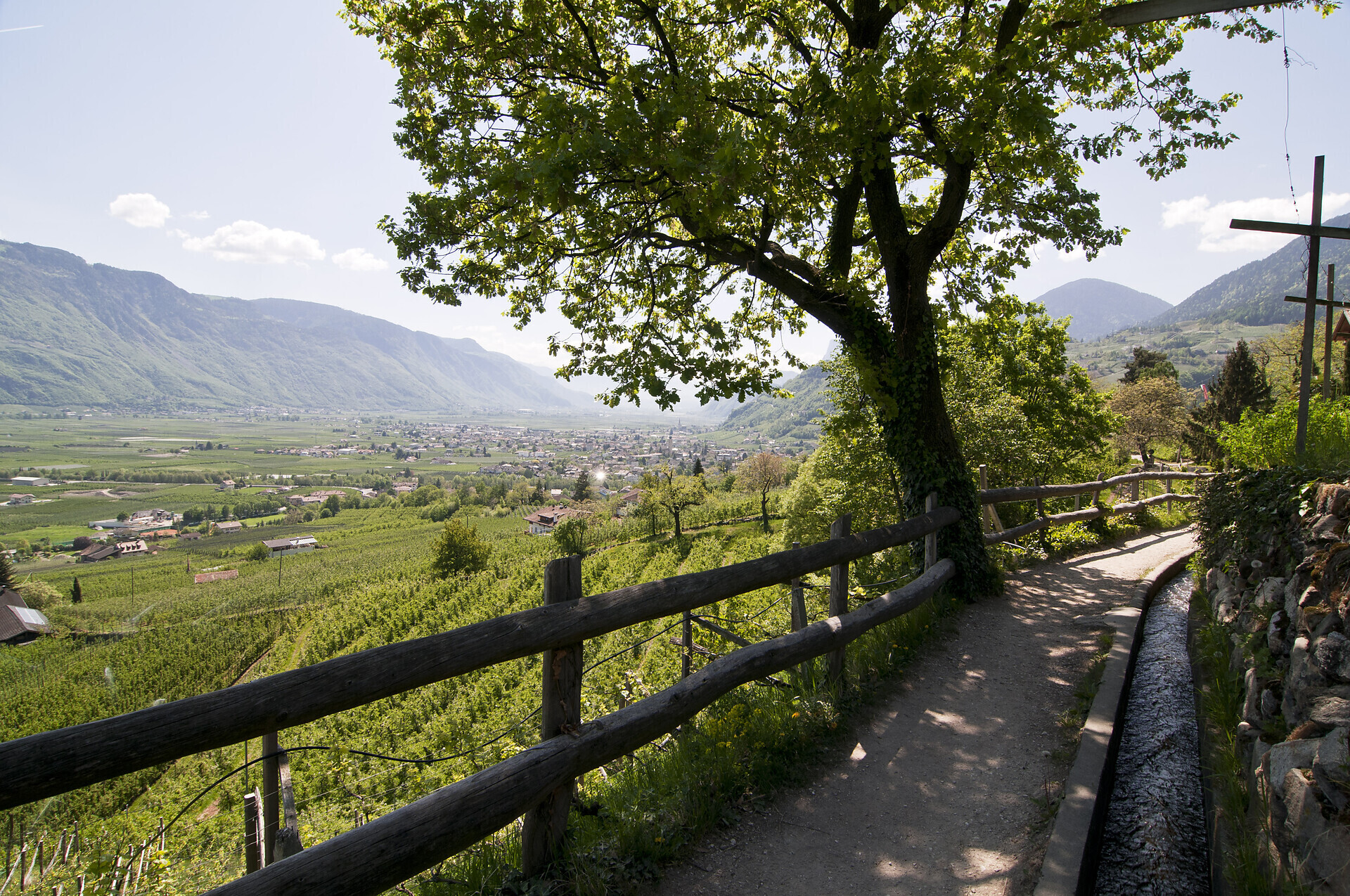
The Merano irrigation channels trails (Waalwege) represent a union of eleven trails around Meran/Merano in South Tyrol. Waalwege trails are narrow walking paths that run along ...
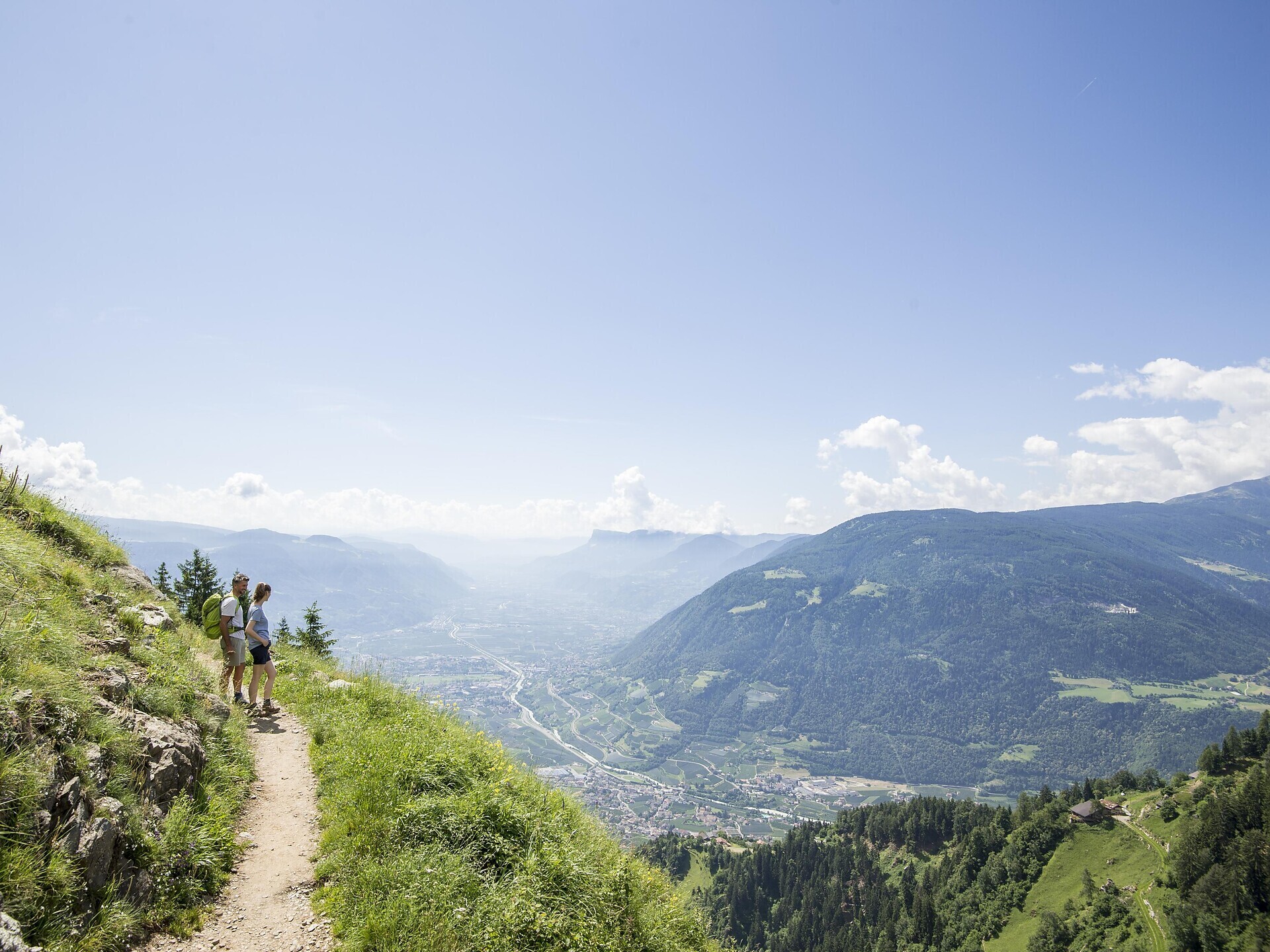
The Merano High Mountain Trail, considered one of the most beautiful hikes in the entire Alpine region, is an approx. 100-km circular hike. It can be circumnavigated in both directions in ...