within 5 minutes to merano
Close to the Spa Town


The Eichhörnchenweg trail trail in Marling/Marlengo functions as an educational nature trail and is identified with the emblem of a squirrel. The one km ...

A short and easy hike for the whole family in Quadrat!
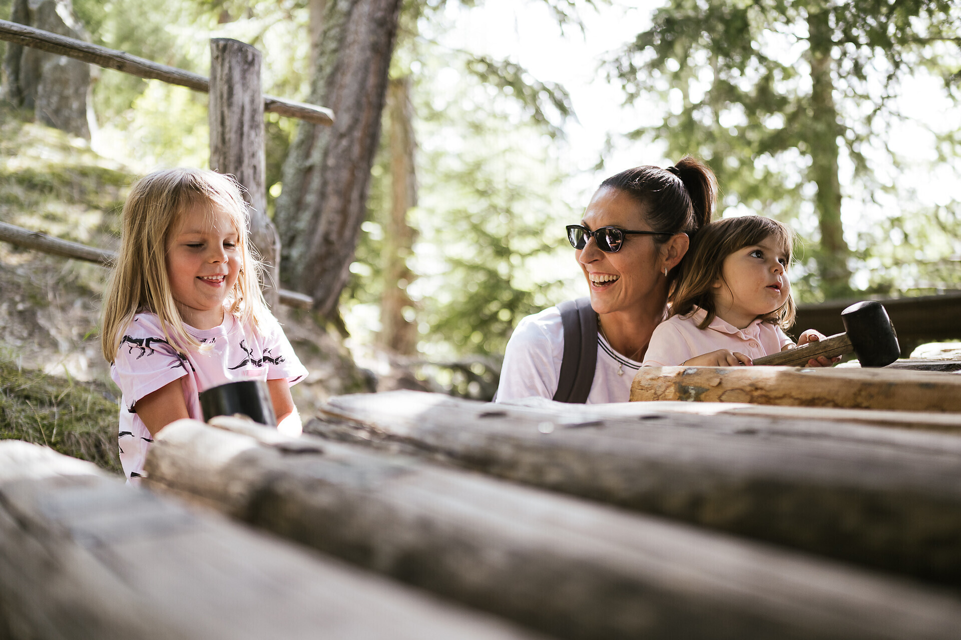
This easy circular hike for families starts at the mountain station of the Aschbach/Rio Lagundo cable car where you take hiking trail n. 27A towards the Eggerhöfe farms ...

Franz Tappeiner, a doctor and medical researcher from Val Venosta who was a passionate proponent of tourism in Merano, created the promenade and donated it to the city. The four-kilometre-long path splits off from the Gilf Promenade and follows ...

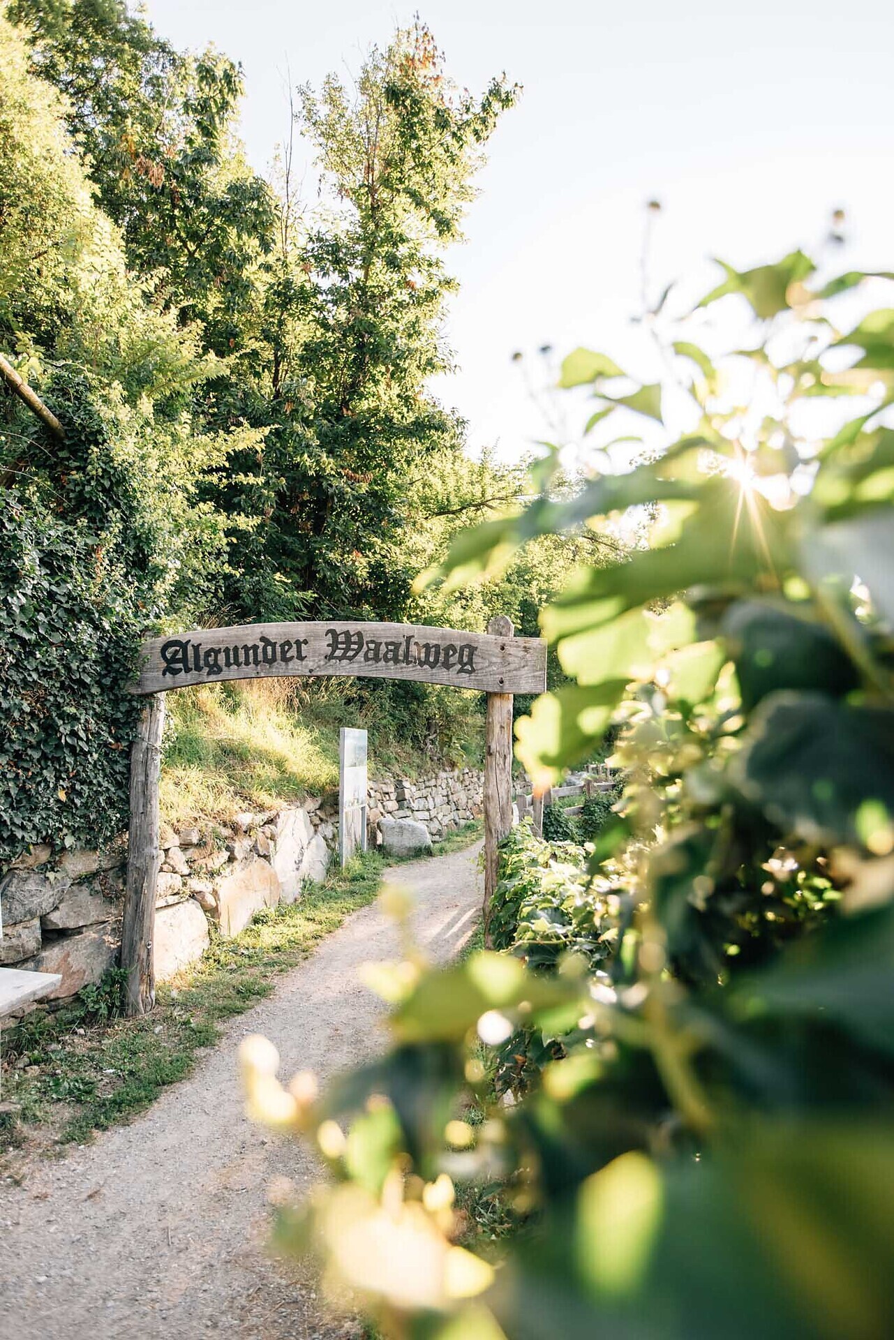
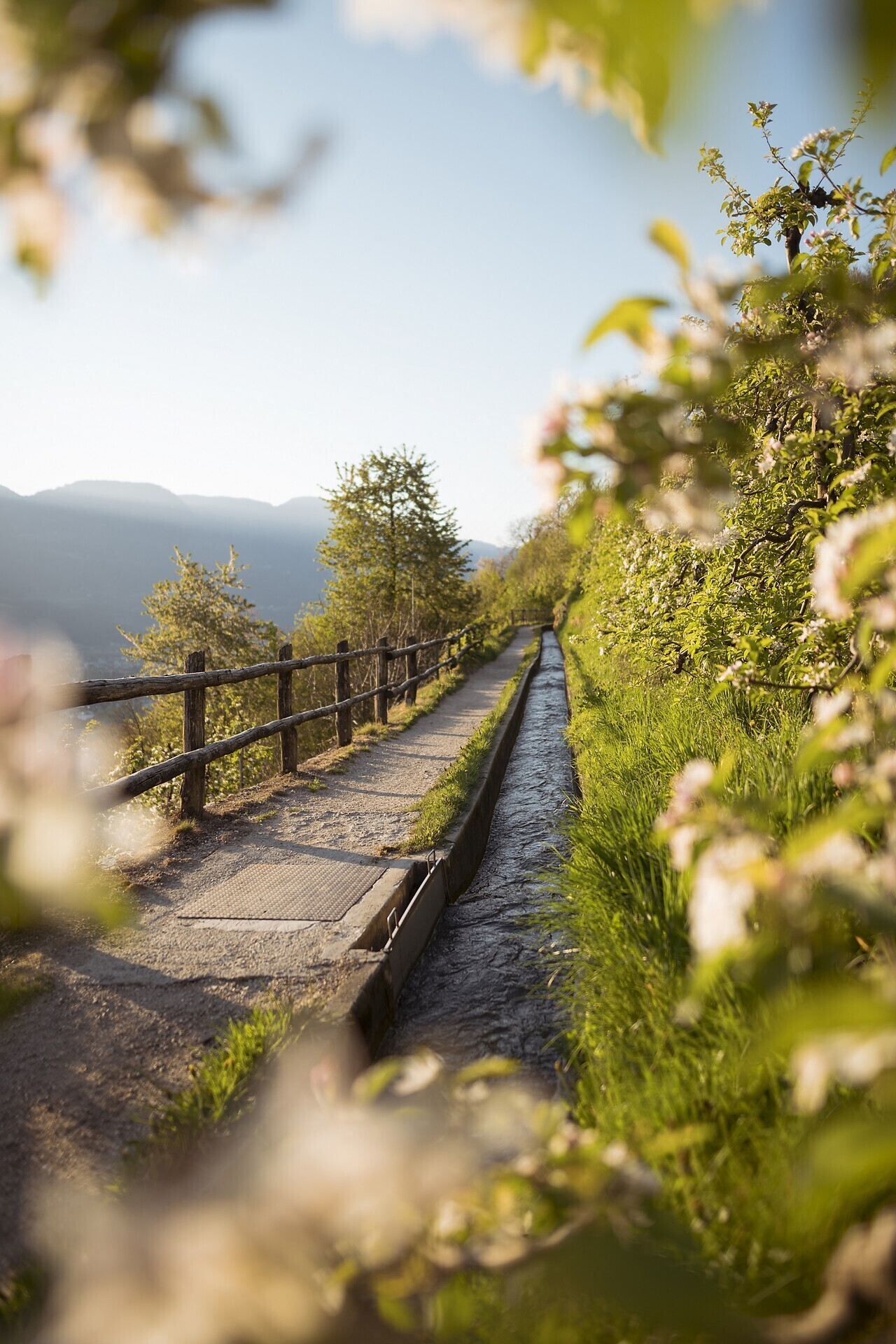
Waalwege are paths along the ancient irrigation channels. The Algunder Waalweg Trail is split into two parts with a lenght of 5 to 6 km. The hike leads along an ...

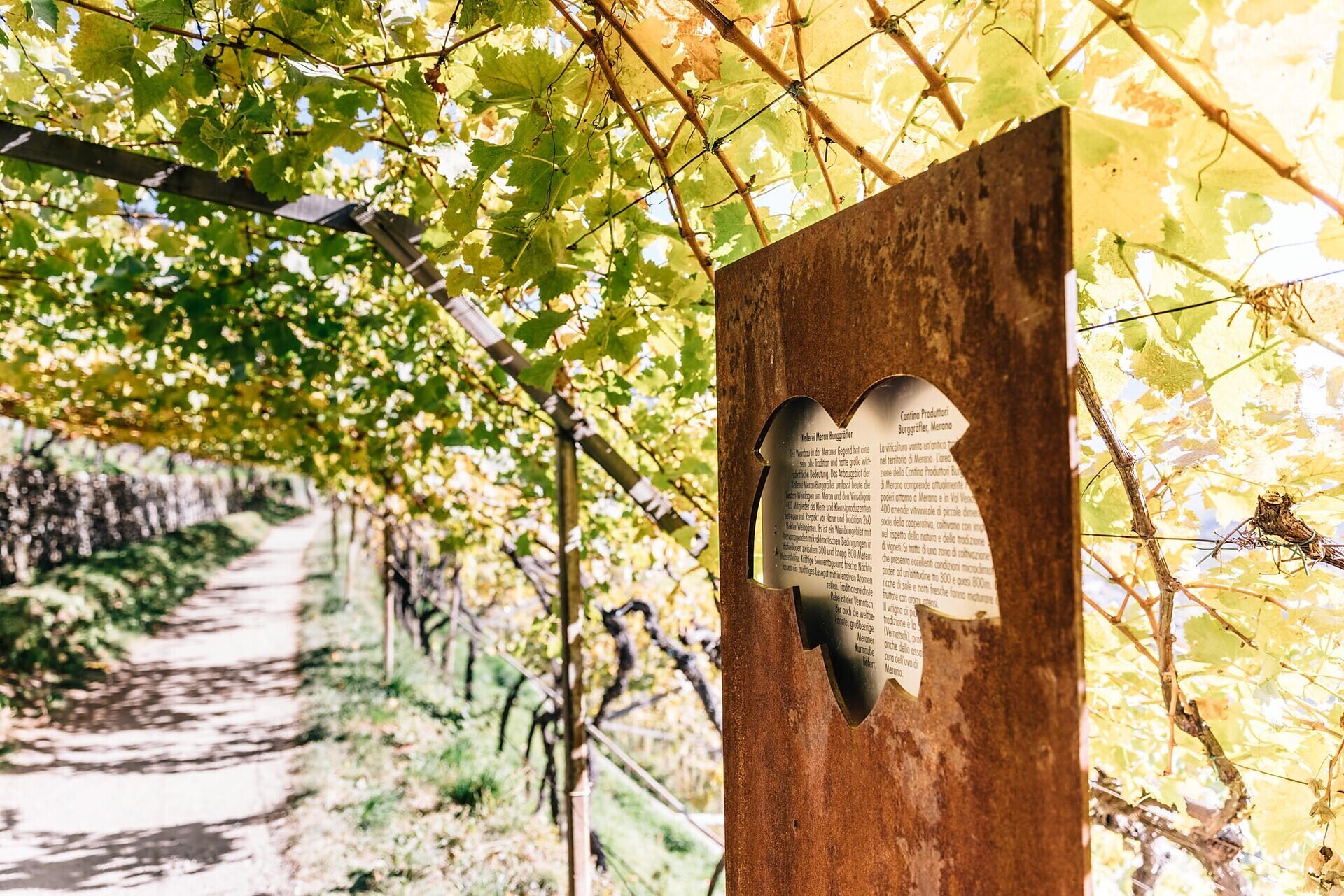
The vineyards along the Algunder Waal and the Schlundensteinweg are a special example of a cultural landscape shaped by the diligence of farmers. On the Algund ...

The Felsenweg (Rock Trail) is a well-maintained hiking trail close to the edge of the mountain, a rather easy and flat path but you need to be ...
Aschbach, a fraction of Algund, is a small mountain village at 1,360 meters. It is located southwest of Algund and can be reached by cable car in only 7 minutes. In a ...


Especially on warm days, the Marling mountain road is an ideal hiking path particularly on warm days, along the North-Eastern slope of the Marling mountain.

Start in the village centre of Algund/Lagundo and walk to the outdoor pool. After passing the wooden bridge over the Adige river, you reach Forst/Foresta, a district of ...
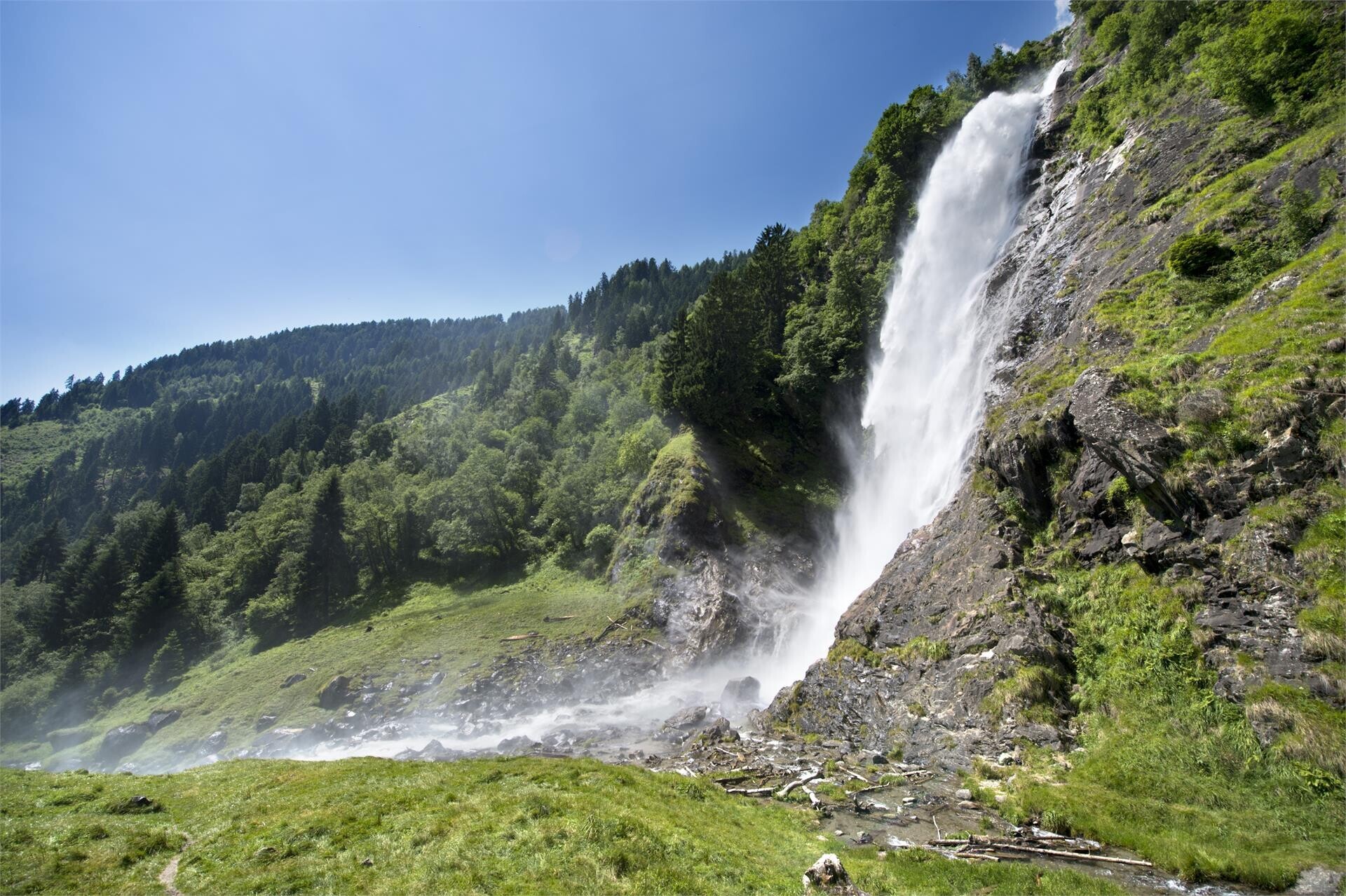
Considered one of the most spectacular in the Alps, the Parcines waterfall cascades down the rock face from a height of almost 100 m. It is particularly impressive in ...


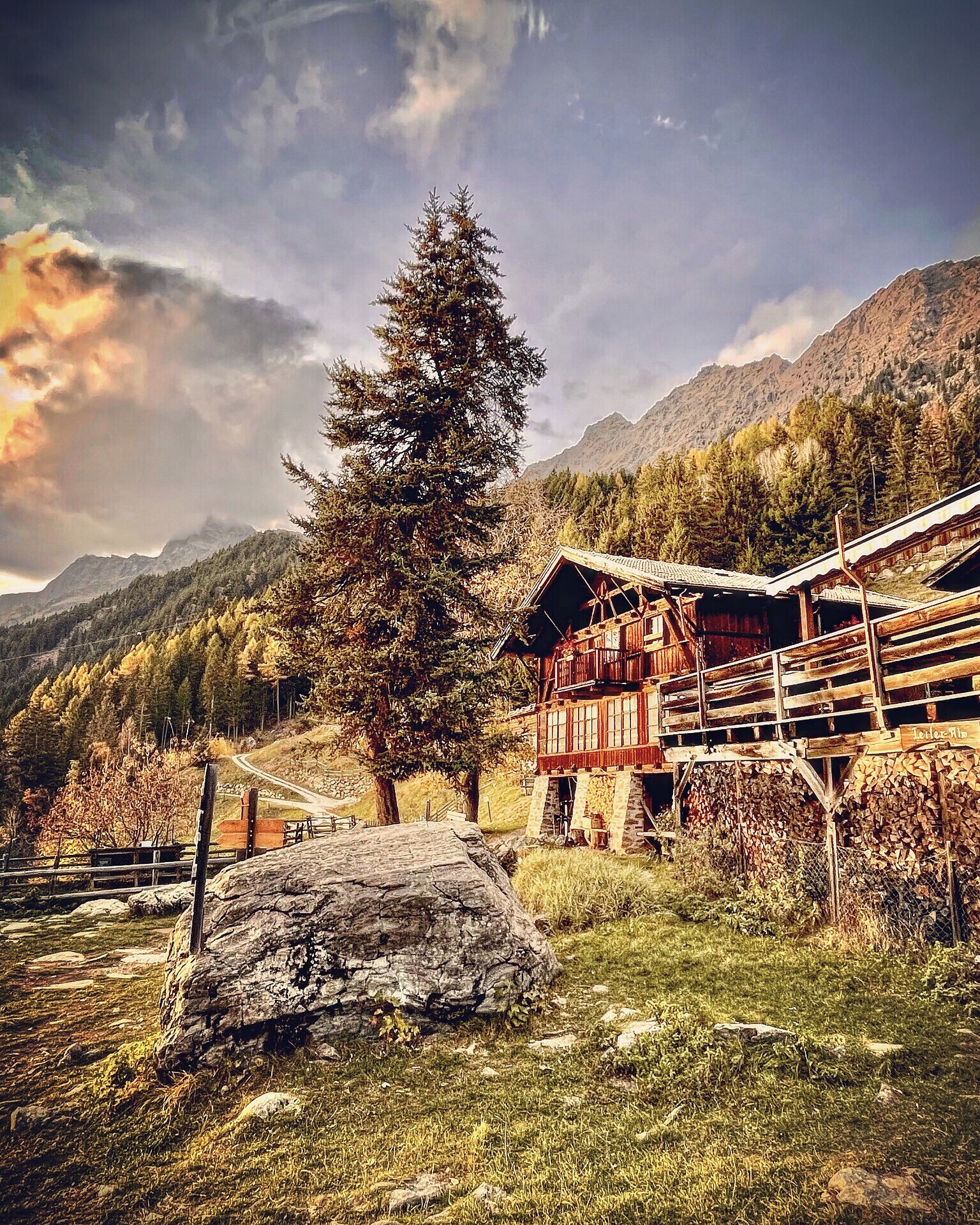
Friendly atmosphere, Tyrolean dishes, camp bed, board games - the "Hochganghaus" invites you to take a break. For families and hikers who enjoy the beauty of the ...
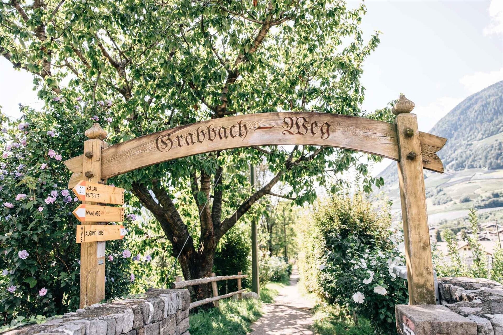
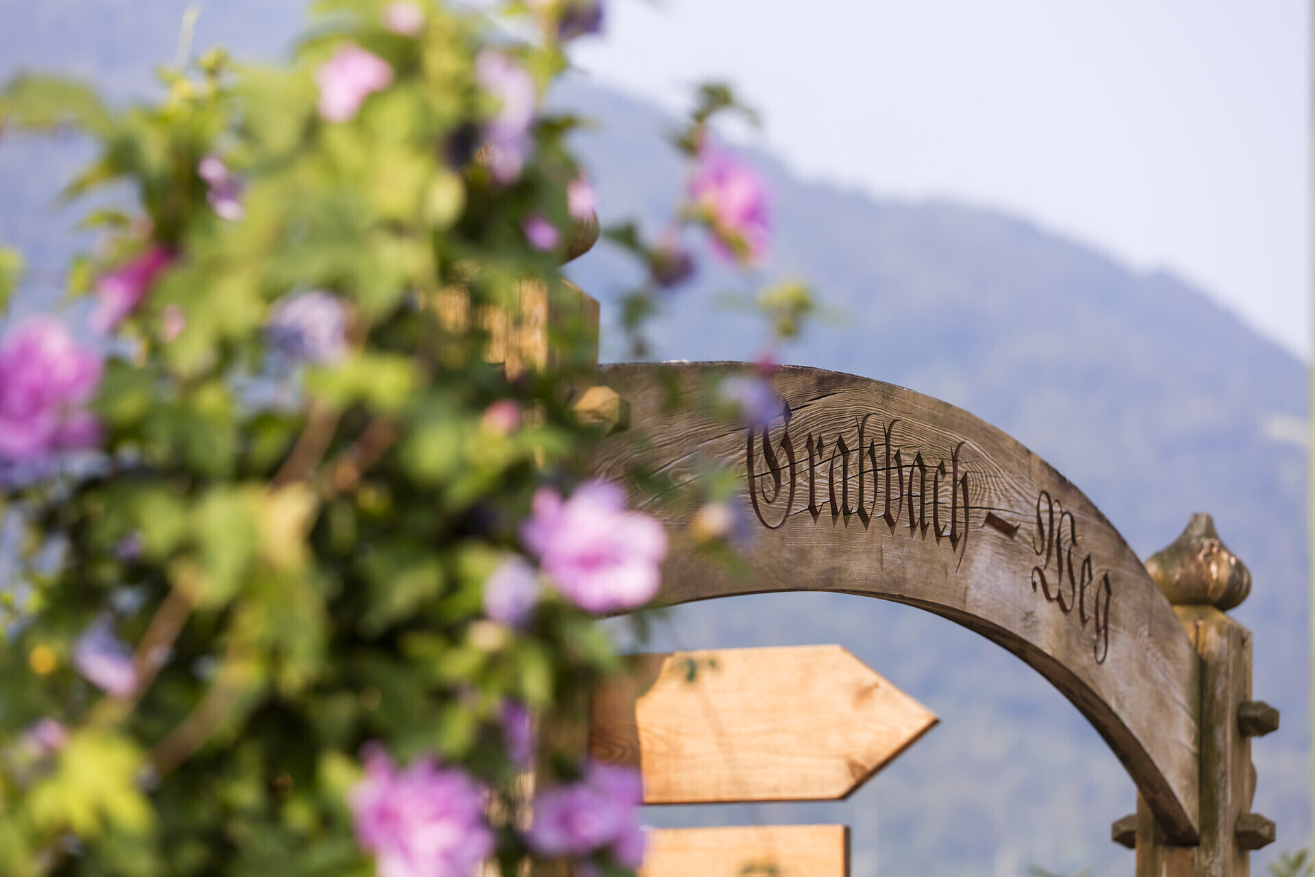
Follow the Grabbachweg trail until Café Konrad and continue along path no. 25A up to the Schlundenstein, a large rock from the Ice Age. From there take path no. 21 that ...
Twelve kilometers long, the Marlinger Waalweg trail is a popular hiking trail which runs along the former irrigation channels, the longest of its kind in South Tyrol ...


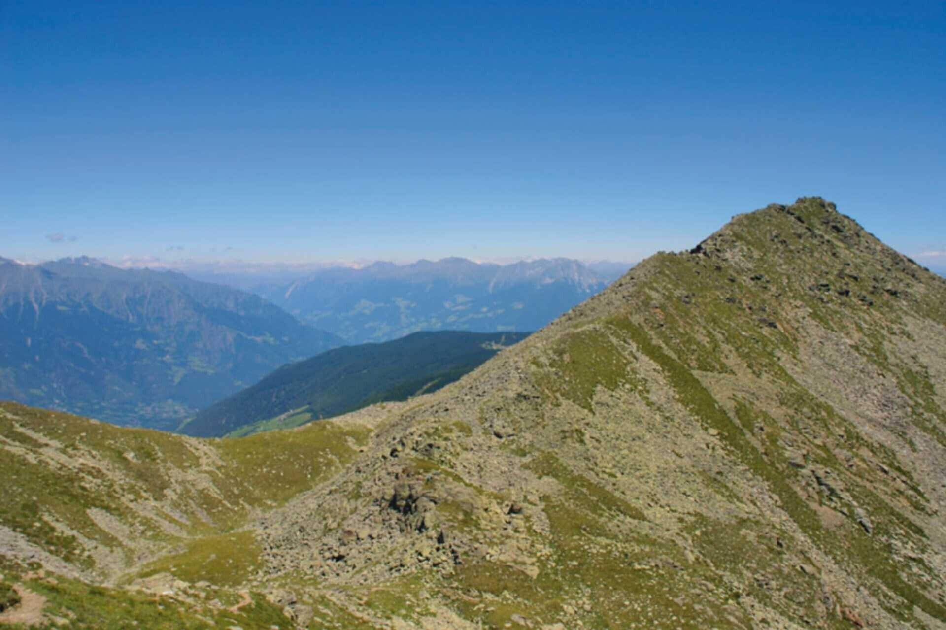
Beautiful mountain hike with a wonderful view of the Merano region and the surrounding mountain scenery. There are some alpine pastures along the way ...

The newly-opened Knottnkino³ circuit trail connects the three red porphyry rocks of Vöran. Starting from the Vöran-Burgstall upper ...


The Spronser lakes are located at the centre of the Texel Mountain Nature Park, one of the largest high mountain lake districts in the entire Alps. They are filled with ...
The Tschigat is a striking peak in the Texel Group. The pyramid formed from gneiss offers a magnificent view of many mountain peaks. The tour to the Tschigat is not just ...

High above Partschins/Parcines sits the well-known local mountain of Partschins/Parcines, the Zielspitze summit!
The three-thousand-metre peak is the first peak in ...

The Merano irrigation channels trails (Waalwege) represent a union of eleven trails around Meran/Merano in South ...
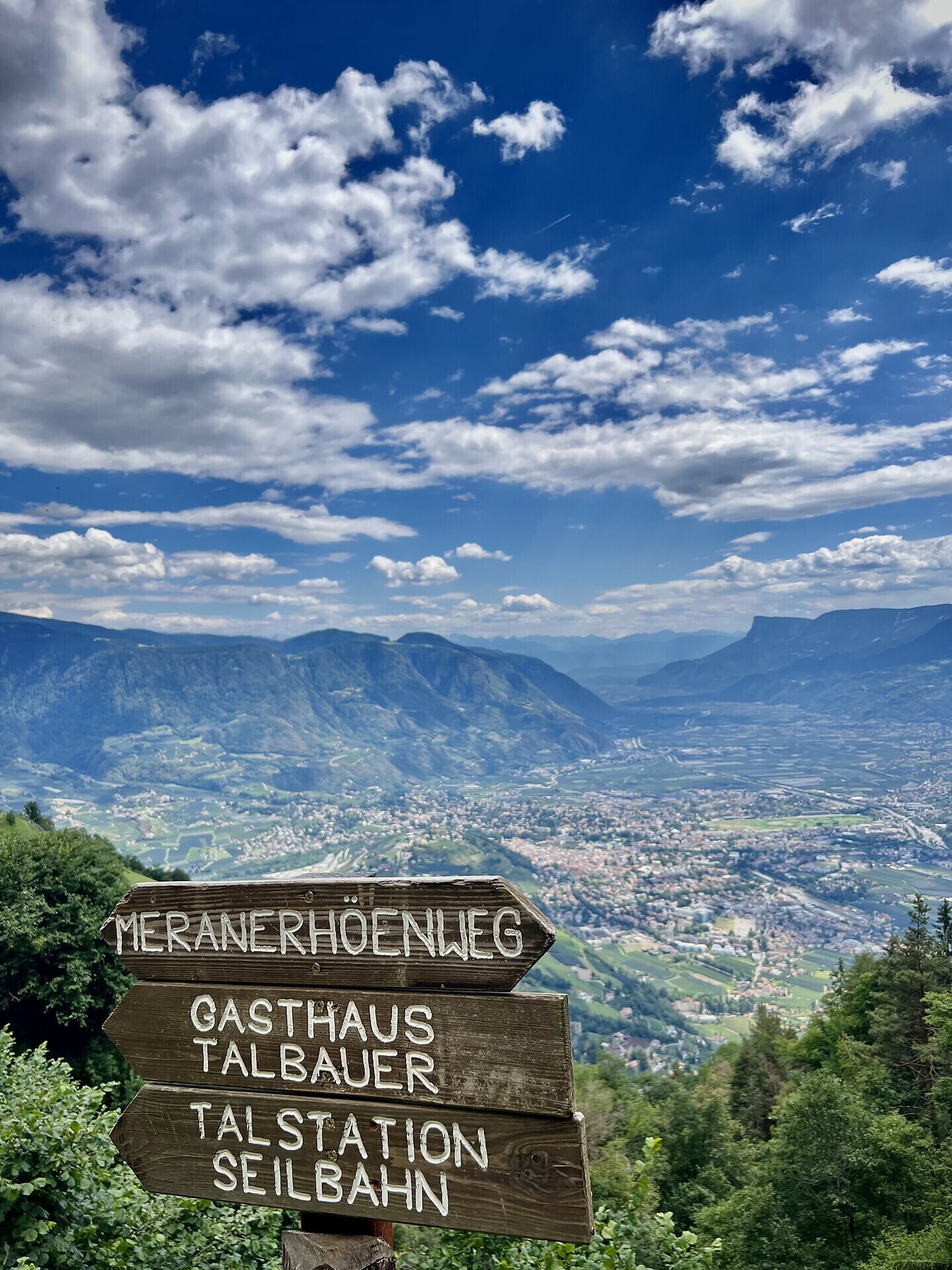
The Meran High Mountain Road is one of the most beautiful high-Alpine circular trails in Europe. At a length of 100 kilometres, it surrounds South Tyrol’s largest nature ...