





Every day a new advantage
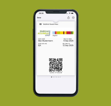
The Südtirol GuestPass + GuestCard Algund advantage card is included in the overnight price of all participating establishments and is valid 365 days a year. Among other things, it provides:
New from 2025: The GuestPass digitally on your smartphone
Free use of all public means of transportation in South Tyrol
Free use of selected cable cars
All advantages
It's worth booking here!
Easy and secure booking
All accommodations at a glance
Best price guarantee
Free-of-charge support
Do you have any questions or need any assistance for booking an accommodation? We are here for you!
Look & book an accomodation
 
 
Adults
 
Children
 
Age child 5
 
Age child 4
 
Age child 3
 
Age child 2
 
Age child 1
 
All types
 
 
Mountain & summit tours

Hiking in Algund near Merano

Your gateway to South Tyrol’s hiking paradise

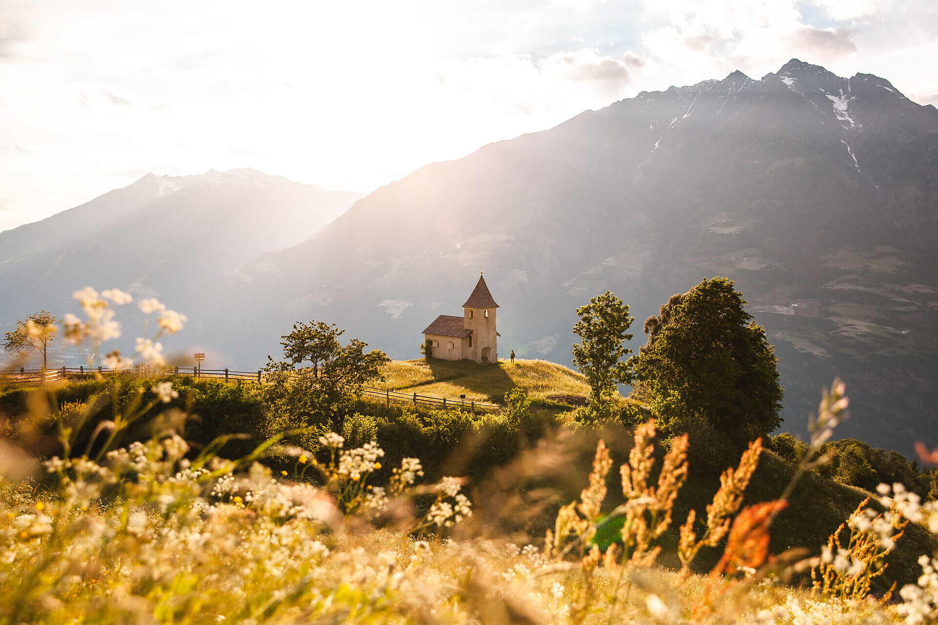
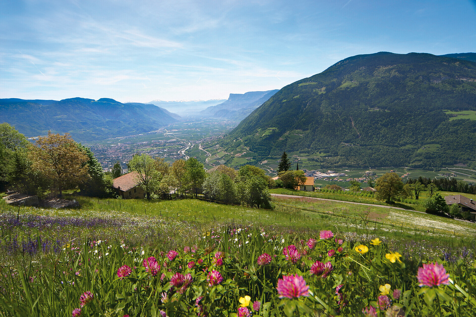
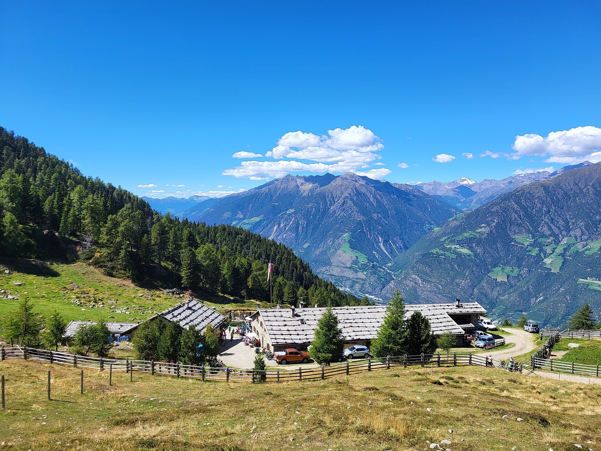
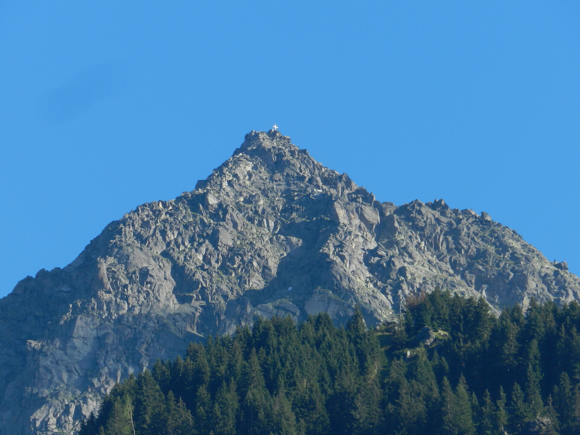
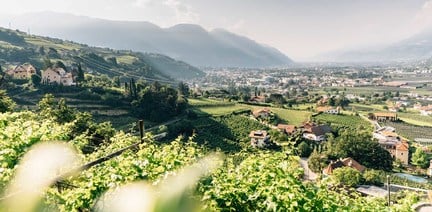
In Algund, your hiking holiday starts right outside the door – among apple orchards, alpine pastures and breathtaking panoramic views. From gentle walking paths like the Algund Waalweg canal trail to challenging summit tours to the Rötelspitze or along the Merano High Mountain Trail: the hiking area around Algund offers variety at all altitudes – from 300 to nearly 3,000 metres.

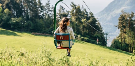
With many sunny days a year, rustic mountain huts serving South Tyrolean delicacies, the Texel Group Nature Park, guided tours offered by the tourist office, and nostalgic lifts like the gondola basket lift to Leiter Alm hut, Algund is the perfect starting point for days full of nature, enjoyment and movement.

Whether you're a beginner or an experienced mountain hiker – in Algund everyone will find their personal favourite route.


All hikes at a glance

Ready to get going? In our interactive map, you’ll find all hiking tours in and around Algund – including detailed information, difficulty level, elevation profile, and GPX data for easy navigation.


Hike with care – for people, animals and nature

Those who hike in Algund enjoy not only stunning views but also enter sensitive natural areas. To ensure that our trails, meadows and forests remain as unspoiled as they are today, it’s essential to treat nature with respect.
This way, your hiking experience will be not only special, but also sustainable.

Find more helpful tips and rules for mindful hiking in our downloadable hiking guide.
Download flyer
Nature
Easy

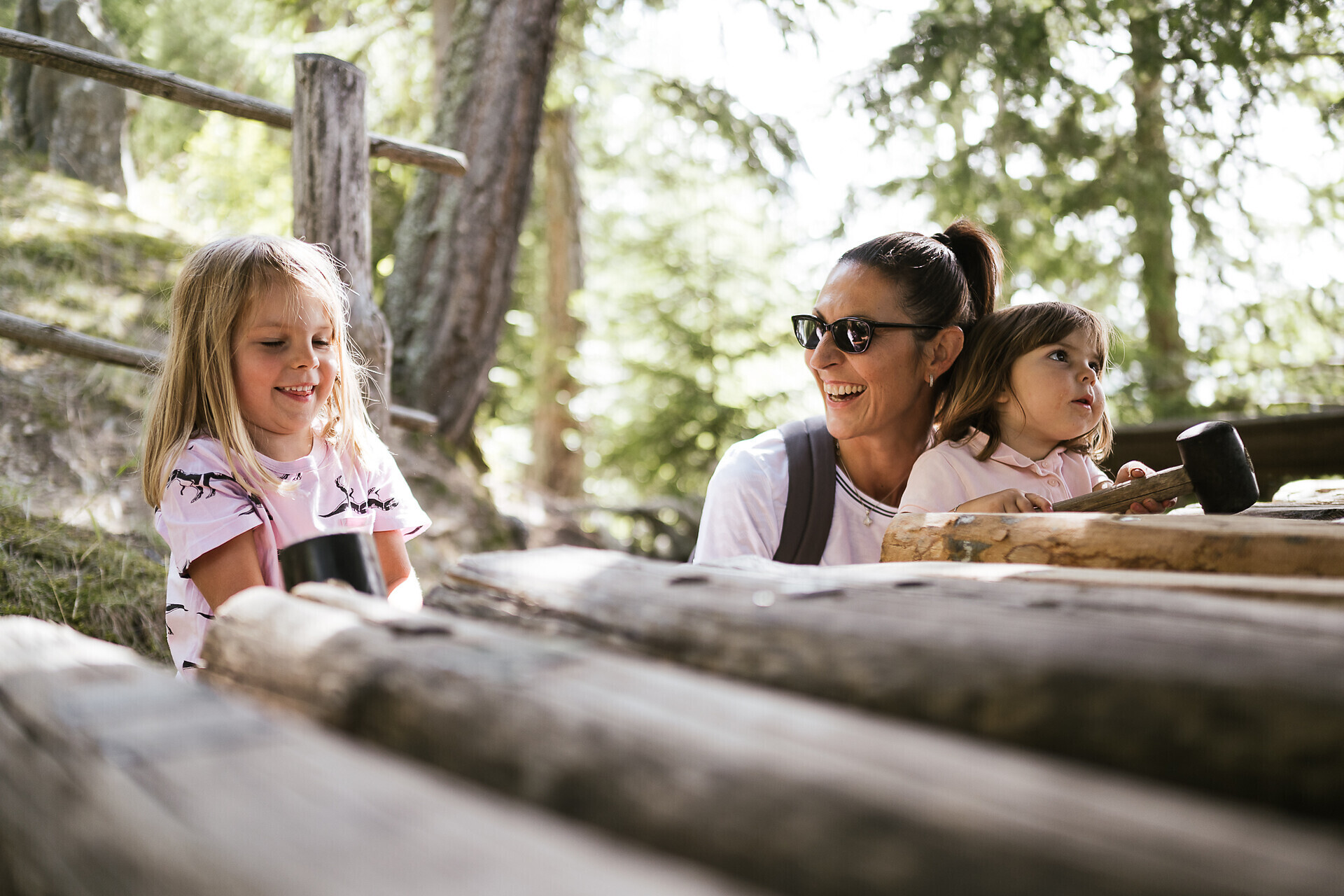
Nature & Adventure path in Marling

Duration: 0h 30 | Length: 1,1 km | Highest point: 553 m

The Eichhörnchenweg trail in Marling/Marlengo functions as an educational nature trail and is identified with the emblem of a squirrel. The one km family-friendly circuit has 23 interactive stations which allow ...

Familien-Wanderweg
Media

Family trail Quadrat

Duration: 0h 47 | Length: 2,64 km | Highest point: 917 m

General description

A short and easy hike for the whole family in Quadrat!


Route ...
Walderlebnispfad
Easy

Walderlebnispfad Aschbach adventure trail

Duration: 1h | Length: 3,2 km | Highest point: 1429 m

Castle
Easy

Burgweg - Ochsentodweg - Castle Tirol - Castel Brunnenburg - Algund-

| Length: 3,3 km | Highest point: 633 m

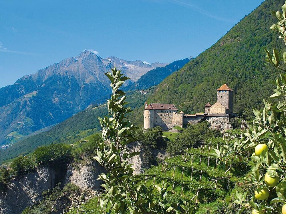
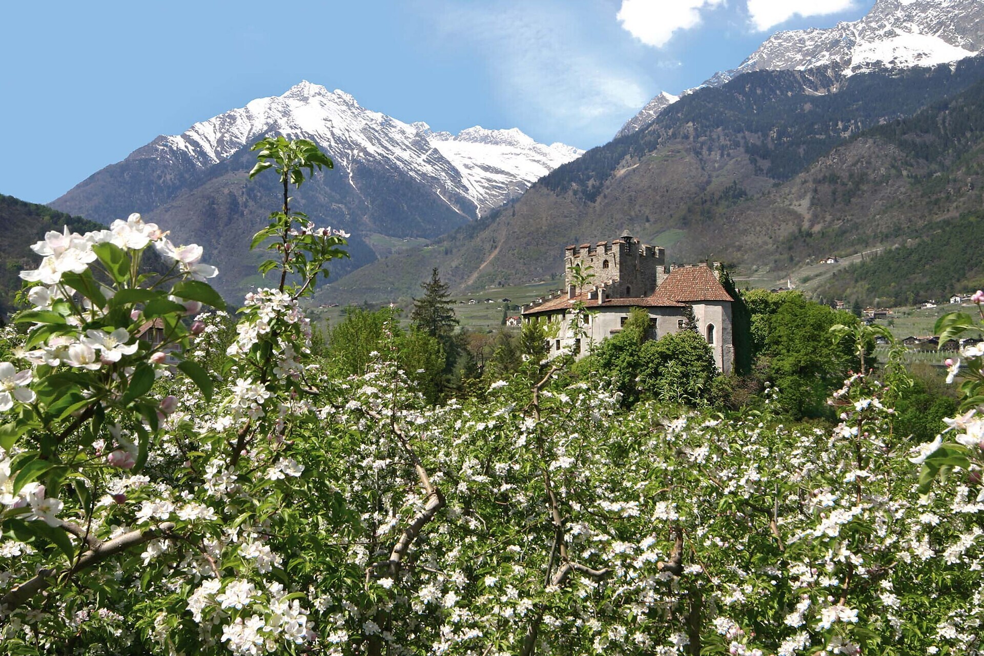
A wonderful hike following the Burgweg and Ochsentodweg to the Thurnstein Castle and the Tirol Castle. This one ...

TappeinerPromenade
Easy

Tappeinerweg Trail

Duration: 1h | Length: 4 km | Highest point: 400 m

Franz Tappeiner, a doctor and medical researcher from Val Venosta who was a passionate proponent of tourism in Merano, created the promenade and donated it to the city. The four-kilometre-long path splits off from the Gilf Promenade and follows ...

Irrigation
Easy

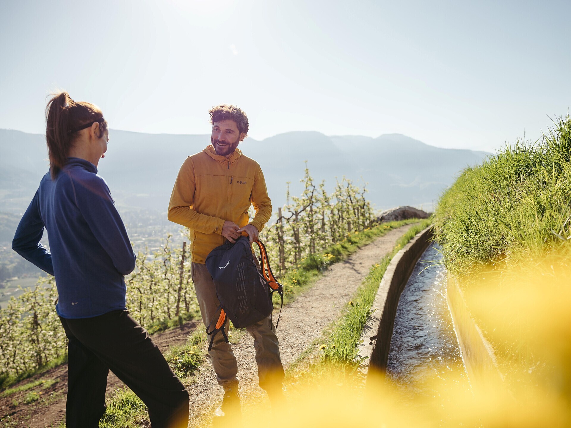
Algund Waalweg canal trail

Duration: 1h 9 | Length: 4,5 km | Highest point: 498 m

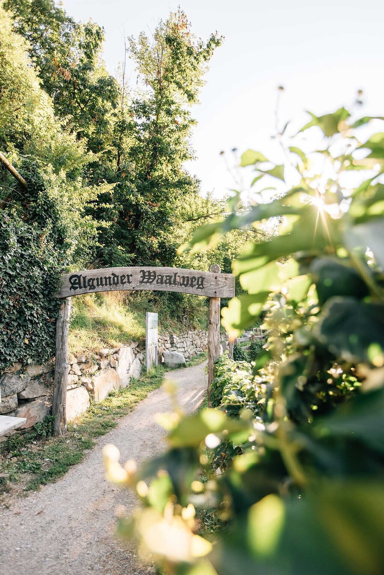
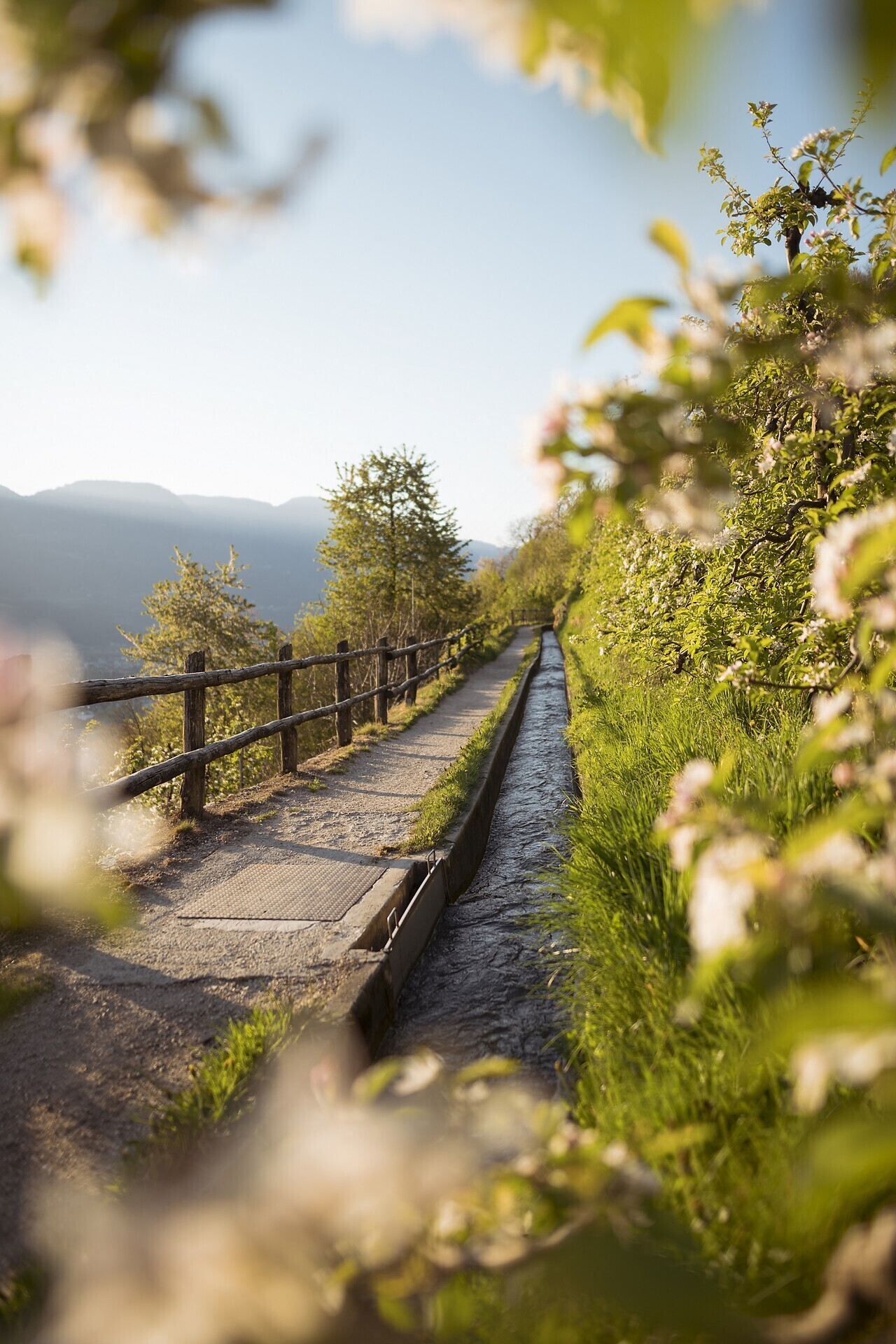
Waalwege are paths along the ancient irrigation channels. The Algunder Waalweg Trail is split into two parts with a lenght of 5 to 6 km. The hike leads along an historical irrigation canal. The canal trail is almost flat. It is therefore ideal ...

Aschbach

Alpine Kneipp Tour Rio Lagundo

Duration: 1h 20 | Length: 4,5 km | Highest point: 1429 m

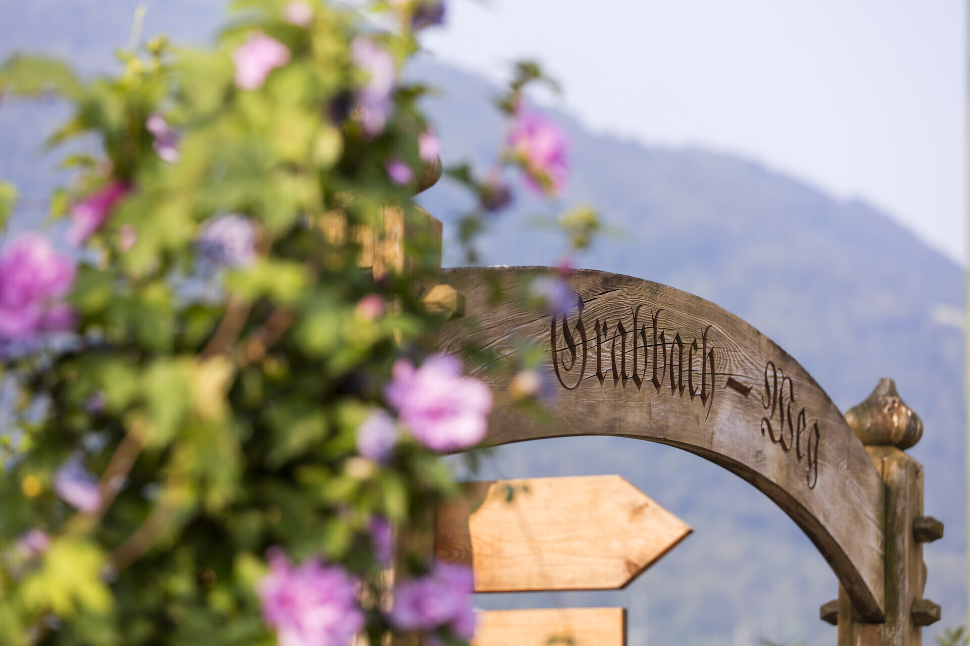
Grabbach
Easy

Algund - Grabbachpromenade - Birbamegg - Vellau

| Length: 4,5 km | Highest point: 962 m

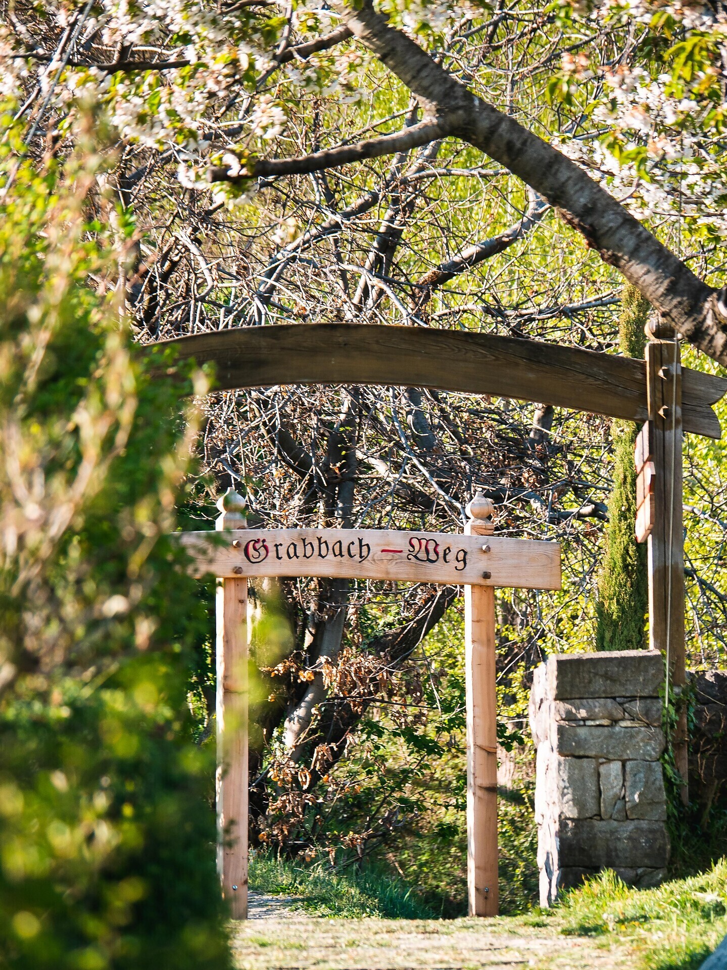
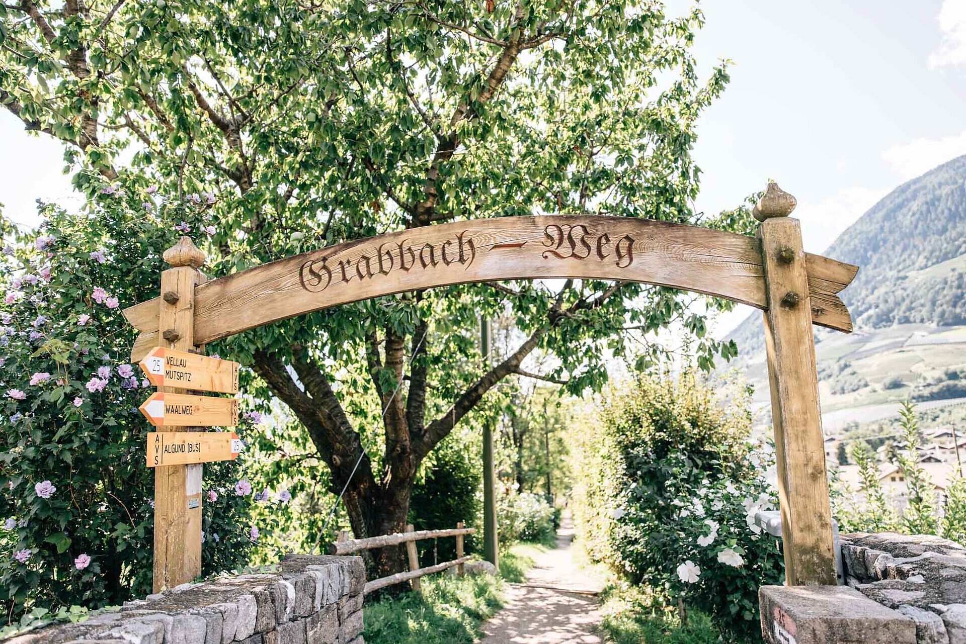
The Grabbach path leads along the Grabbach stream.
Once in Velloi you get an excellent panoramic view of the entire Burgraviato.

Aschbach
Difficult

Lagundo- Aschbach/Rio Lagundo

Duration: 2h 43 | Length: 5,1 km | Highest point: 1345 m

Challenging mountain run from the cable car valley station to the mountain station of Aschbach - Rio Lagundo.
Aschbach
Difficult

Lagundo- Aschbach/Rio Lagundo

Duration: 2h 43 | Length: 5,1 km | Highest point: 1345 m

Challenging mountain run from the cable car valley station to the mountain station of Aschbach - Rio Lagundo.
Wine
Easy

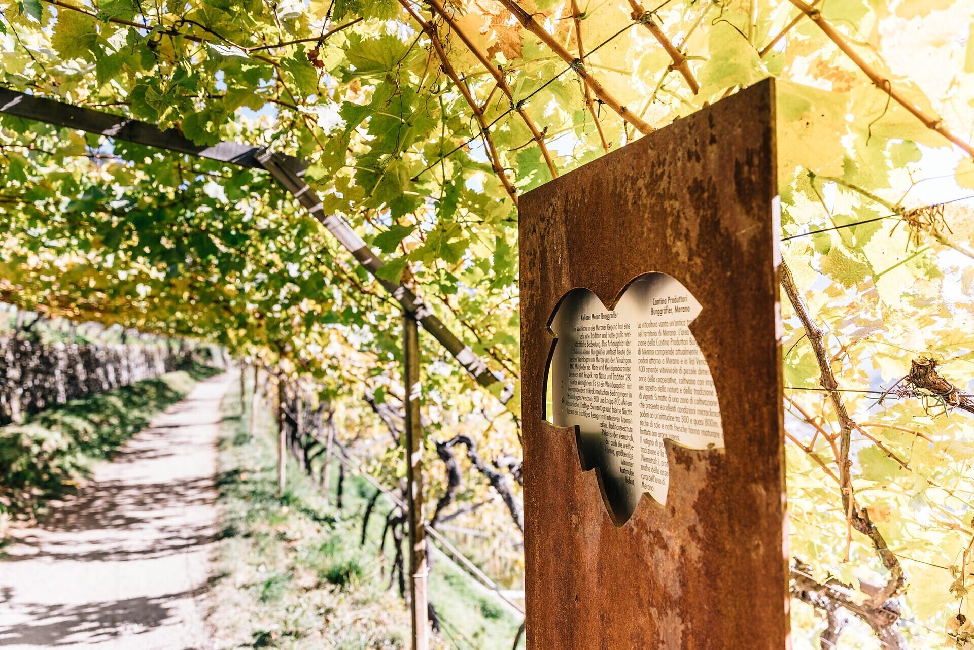
Wine educational trail Algund/Lagundo

Duration: 1h 35 | Length: 5,2 km | Highest point: 579 m


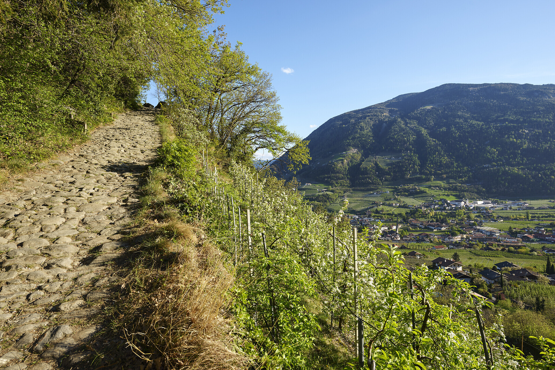
The vineyards along the Algunder Waal and the Schlundensteinweg are a special example of a cultural landscape shaped by the diligence of farmers. On the Algund Wine Trail, the history of the cultural vineyard landscape comes to life and is ...

Marling

The Marling/Marlengo irrigation channel path

Duration: 1h 45 | Length: 5,7 km | Highest point: 474 m

The Waalweg trail -Hiking along the irrigation channel

Spectacular views of the surrounding mountains can be seen along the entire length of the Marlinger Waalweg trail. The agricultural landscape lining the irrigation channels is also ...

LAgundo

Panoramic Kneipp Tour Lagundo

Duration: 1h 48 | Length: 6,6 km | Highest point: 1002 m

22 Chestnut trees Vellau Recharge your batteries
23 Herb slope Vellau Herbal scents and colours
24 Church of the Holy Trinity Vellau Order of life Living naturally
26 Organic Hoferhof Vellau Nutrition Versatility
25 Adventure playground ...
Marlinger

Marlinger Höhenweg high alpine trail from Algund-Töll/Lagundo-Tel

Duration: 2h 17 | Length: 6,8 km | Highest point: 771 m

Especially on warm days, the Marling mountain road is an ideal hiking path particularly on warm days, along the North-Eastern slope of the Marling mountain.

Forst
Easy

Circular hiking track Forst

Duration: 2h 24 | Length: 8,1 km | Highest point: 583 m

Partschinser
Difficult

From Algund to the Partschins water falls

Duration: 3h 5 | Length: 8,2 km | Highest point: 1099 m

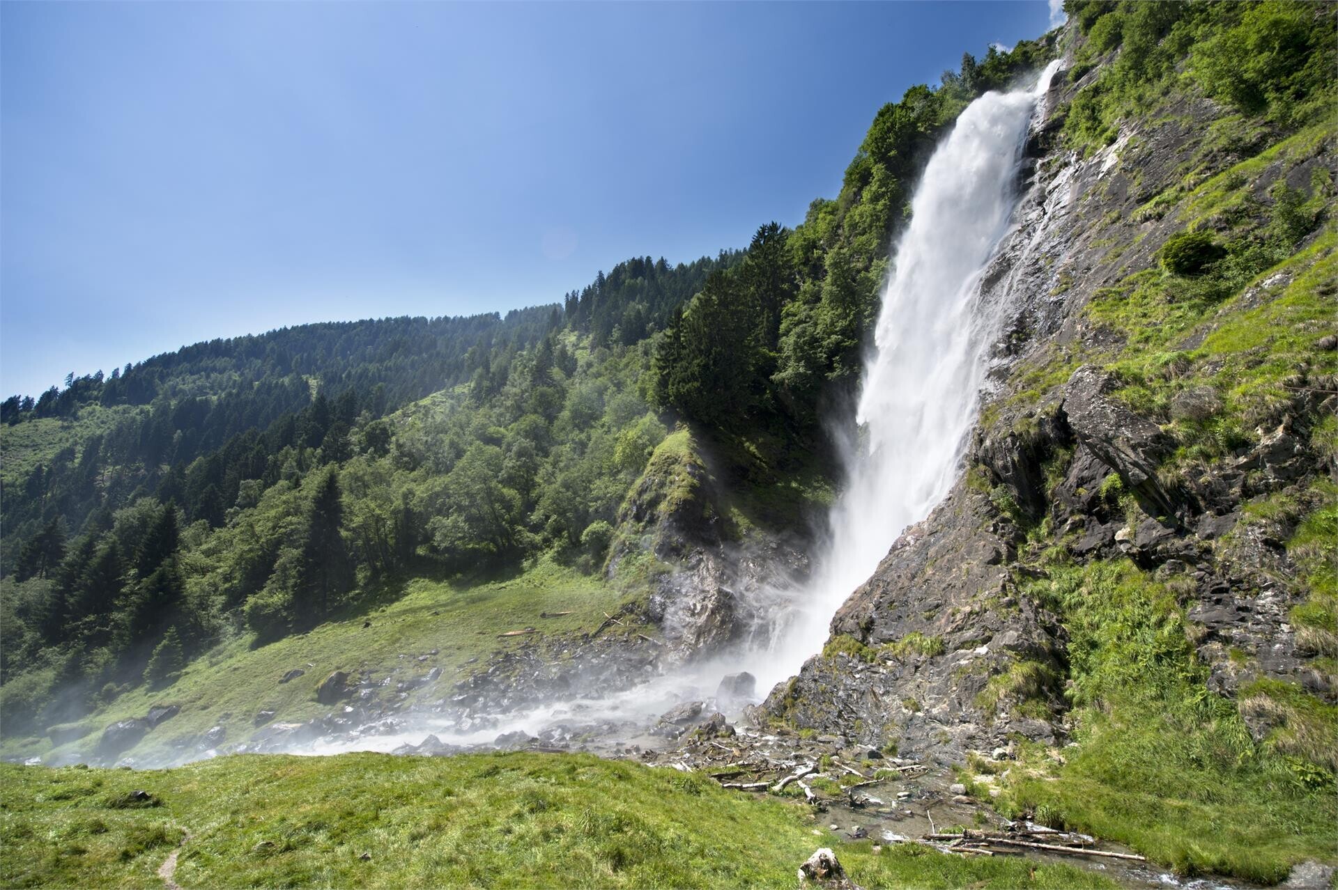
Considered one of the most spectacular in the Alps, the Parcines waterfall cascades down the rock face from a height of almost 100 m. It is particularly impressive in early spring with the melting of snow, when as many as 10,000 liters of water ...

Vellau
Media

Algund - Schloss Plars - Vellau - Birbameg - Lagundo

| Length: 8,4 km | Highest point: 950 m

Ascending forest path to the restaurant Oberlechner in Vellau. The eye-catcher of the centre is the Holy Trinity church. 
Once there, we are granted an impressive panorama.

Korblift
Difficult

Leiter Alm mountain hut – Taufenscharte pass – Mutspitze peak – Mutkopf restaurant – Steinegg restaurant – Leiter Alm mountain hut

Duration: 3h 46 | Length: 8,9 km | Highest point: 2291 m

The highest point of this mountain tour is the Taufenscharte also called "Karjoch" at 2230 m. The steep ascent is a challenge, but you will be rewarded with an excellent view over the Spronsertal at the top.
Burgweg
Media

Burgweg trail from Algund/Lagundo to Schloss Tirol castle

Duration: 3h | Length: 9,4 km | Highest point: 626 m

A wonderful hike that leads via the Burg and Ochsentodweg to Thurnstein Castle and further to Tirol Castle.
You can already feel the Mediterranean climate ...
Saxnerweg
Media

Oberplars - Saxner path - Vellau - Kienegger path - Oberplars

Duration: 3h 9 | Length: 9,5 km | Highest point: 1108 m

The moderately difficult Saxnerweg leads from Partschins to Vellau. The small fraction on the sunny slope of Algund is looking forward to welcoming you!
Enjoy the magnificent view over ...
Leiter
Difficult

Leiter Alm mountain hut – Hochganghaus refuge - Gamplweg trail – Velloi

Duration: 3h | Length: 9,6 km | Highest point: 1839 m

Friendly atmosphere, Tyrolean dishes, camp bed, board games - the "Hochganghaus" invites you to take a break. For families and hikers who enjoy the beauty of the mountains.

Aschbach
Media

Aschbach / Rio Lagundo – Naturnser Alm – Vigiljoch / San Vigilio

Duration: 3h 50 | Length: 10,5 km | Highest point: 1949 m

A scenic circular hike from the mountain hamlet of Aschbach across Naturnser Alm to the sunny plateau of Vigiljoch. The route combines quiet forest trails, open alpine meadows and wide panoramic views over the Vinschgau Valley.

Grabbach
Media

From Algund/Lagundo to the Schlundenstein rock and Plars Waalweg canal trail to

Duration: 3h 30 | Length: 10,6 km | Highest point: 734 m

Kneipp
Difficult

Hiking tour along the Kneipp trail of Lagundo

Duration: 3h 45 | Length: 10,7 km | Highest point: 960 m

The natural healing method according to Kneipp is based on five pillars: order of life, exercise, nutrition, herbs and water. The order of life can be seen as the foundation on which the other methods are based. Basically, human beings have ...
Marlinger

From Algund/Tell along the Marling Waalweg canal trail

Duration: 2h 58 | Length: 10,7 km | Highest point: 511 m

Twelve kilometers long, the Marlinger Waalweg trail is a popular hiking trail which runs along the former irrigation channels, the longest of its kind in South Tyrol. Starting at the Töllbrücke bridge, the 250 year-old path gently ascends through ...

Leiter

Leiter Alm - Hochganghaus - Oberhaus - Niederhaus

Duration: 3h 20 | Length: 11,1 km | Highest point: 1837 m

Beautiful mountain hike with a wonderful view of the Merano region and the surrounding mountain scenery. There are some alpine pastures along the way that invite you to stop and relax.

Meraner
Difficult

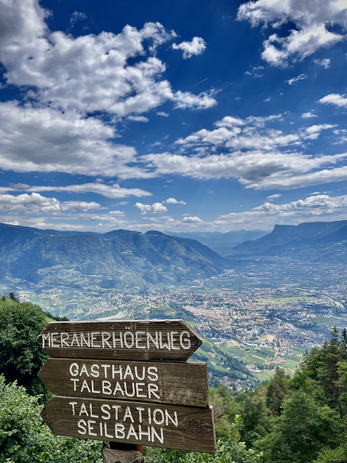
Meraner Höhenweg high alpine trail: Giggelberg – Nasereit refuge – Hochganghaus refuge – Leiter Alm mountain hut

Duration: 4h 15 | Length: 11,4 km | Highest point: 1874 m

Scenic hike for those in search of great views – and for high mountain hiking enthusiasts!
Beimsteinknott
Media

Knottnkino³

Duration: 3h 26 | Length: 11,5 km | Highest point: 1461 m

The newly-opened Knottnkino³ circuit trail connects the three red porphyry rocks of Vöran. Starting from the Vöran-Burgstall upper cableway station, the trail leads to the three panoramic landmarks of Vöran: ...

i
Difficult

Algunder Rötelspitze peak from the Leiter Alm mountain hut

Duration: 4h 51 | Length: 12,3 km | Highest point: 2602 m

The Spronser Rötel, or Rötelspitze is a bit overshadowed by its neighbors, the Tschigat and the Mutspitze. However, it is a beautiful peak in the course of an exciting circular trail in the Texelgruppe. The Texel Group Nature Park is known for its ...
Grabbachweg
Difficult

From Algund/Lagundo to Vellau/Velloi along the Grabbachweg and the Saxnerweg trails

Duration: 4h | Length: 12,7 km | Highest point: 964 m

As the name suggests: Ebeneich, an old farmstead, is located on a somewhat flatter, flat shoulder of land on the steep mountain slope that rises in the back of Algund towards the Mutspitze and the almost three-thousand-meter peak Tschigot (2998 m) ...
Spronser
Difficult

Spronser Seen lakes: At the heart of the Texelgruppe Nature Park

Duration: 5h 13 | Length: 15 km | Highest point: 2580 m

The Spronser lakes are located at the centre of the Texel Mountain Nature Park, one of the largest high mountain lake districts in the entire Alps. They are filled with melted snow water and are a real highlight of the Texel Group Nature Park ...

Tschigat
Difficult

Tschigat (3,000 m) from the Leiter Alm mountain hut

Duration: 6h 22 | Length: 17,2 km | Highest point: 2990 m

The Tschigat is a striking peak in the Texel Group. The pyramid formed from gneiss offers a magnificent view of many mountain peaks. The tour to the Tschigat is not just a hike, but a real mountain tour with easy climbing passages (grade 2) in ...

Zielspitz
Difficult

Peak Zielspitz/Cima Zielspitz (3.006 m)

Duration: 8h 45 | Length: 18,61 km | Highest point: 3006 m

General description

High above Partschins/Parcines sits the well-known local mountain of Partschins/Parcines, the Zielspitze summit!
The three-thousand-metre peak is the first peak in ...

Paths
Difficult

Paths along the irrigation channels in Merano

Duration: 1h 45 | Length: 83,6 km

The Merano irrigation channels trails (Waalwege) represent a union of eleven trails around Meran/Merano in South Tyrol. Waalwege trails are narrow walking paths that run along ...

Merano

Circular hike along the Merano High Mountain Trail

Duration: 13h | Length: 90 km

The Merano High Mountain Trail, considered one of the most beautiful hikes in the entire Alpine region, is an approx. 100-km circular hike. It can be circumnavigated in both directions in ...

Merano
Difficult

Meran High Mountain Road from Leiter Alm hut

Duration: 6h 8 | Length: 92,1 km | Highest point: 2895 m

The Meran High Mountain Road is one of the most beautiful high-Alpine circular trails in Europe. At a length of 100 kilometres, it surrounds South Tyrol’s largest nature park, the Texel Group Nature Park, at an altitude of approx. 1,400 metres ...